 SnowScope
Alpe Devero snow conditions: 2 cm at the top, 36 cm forecast (12 November 2026)
Alpe Devero sits in a high basin above Baceno in the Ossola valley, a car-free hamlet at 1640 m with a handful of lifts and long winters. On the 11 November model run the snow is only starting: 2 cm at the top (2201 m), 0 cm at mid-mountain (1920 m) and 0 cm at the base. The coming week looks better: 21 cm at the base, 24 cm at mid-mountain and 36 cm at the top.
See the live snow forecast for Alpe Devero in the SnowScope appSnow depth, powder alerts and the 3D map, free.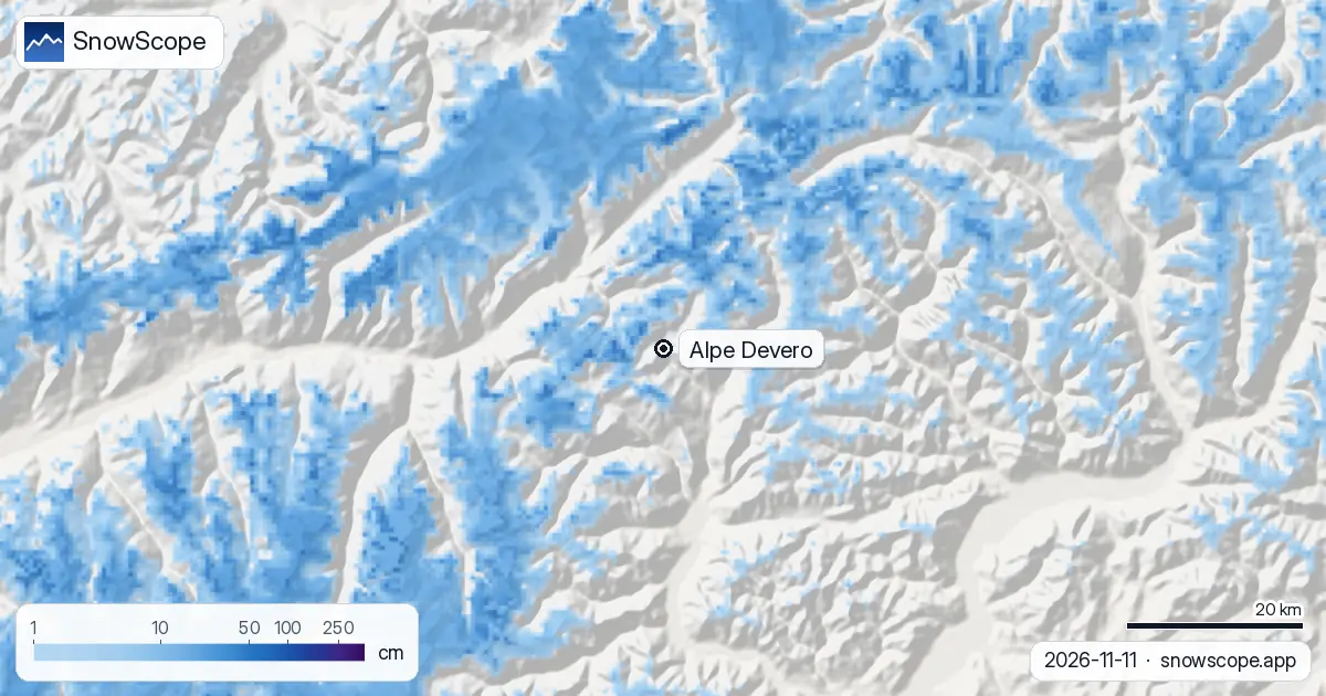
The picture today
Last week was a trickle: 3 cm at the base, 8 cm at mid-mountain and 11 cm at the top, with 3 cm of it in the last 48 hours up high. On a sunny November slope that melts almost as fast as it lands, hence the 2 cm left at the top.
The next 24 hours bring 8 cm at the top, and the seven-day total climbs to 36 cm there, 24 cm at mid-mountain and 21 cm on the alp itself. As always, these are model values for the area, not a measurement on the piste.
Devero in a usual winter
Our 46 past winters (1980-81 to 2025-26) describe a resort where the cover builds slowly and stays long. The first snow usually lies at the top by 12 October, at mid-mountain by 1 November and at the base by 5 November; the last snow leaves the top only around 27 June.
A usual November has 7 cm at the base, 11 cm at mid-mountain and 17 cm at the top; December reaches 21, 28 and 40 cm; the deepest months are March at the base and mid-mountain (54 cm and 69 cm) and April at the top (92 cm).
How much snow, how often
The peak of a middle winter is 71 cm at the base, 87 cm at mid-mountain and 111 cm at the top. At the top, 13 weeks of the winter have 50 cm or more in 9 of 10 past winters; at mid-mountain the surest week is week 13, at the end of March, with 50 cm or more in 91 % of winters and a middle depth of 72 cm.
Last winter peaked at 62 cm, 78 cm and 102 cm. The middle peak at the top has slipped from 122 cm in the first 15 of our winters to 102 cm in the last 15.
Why people come to Devero
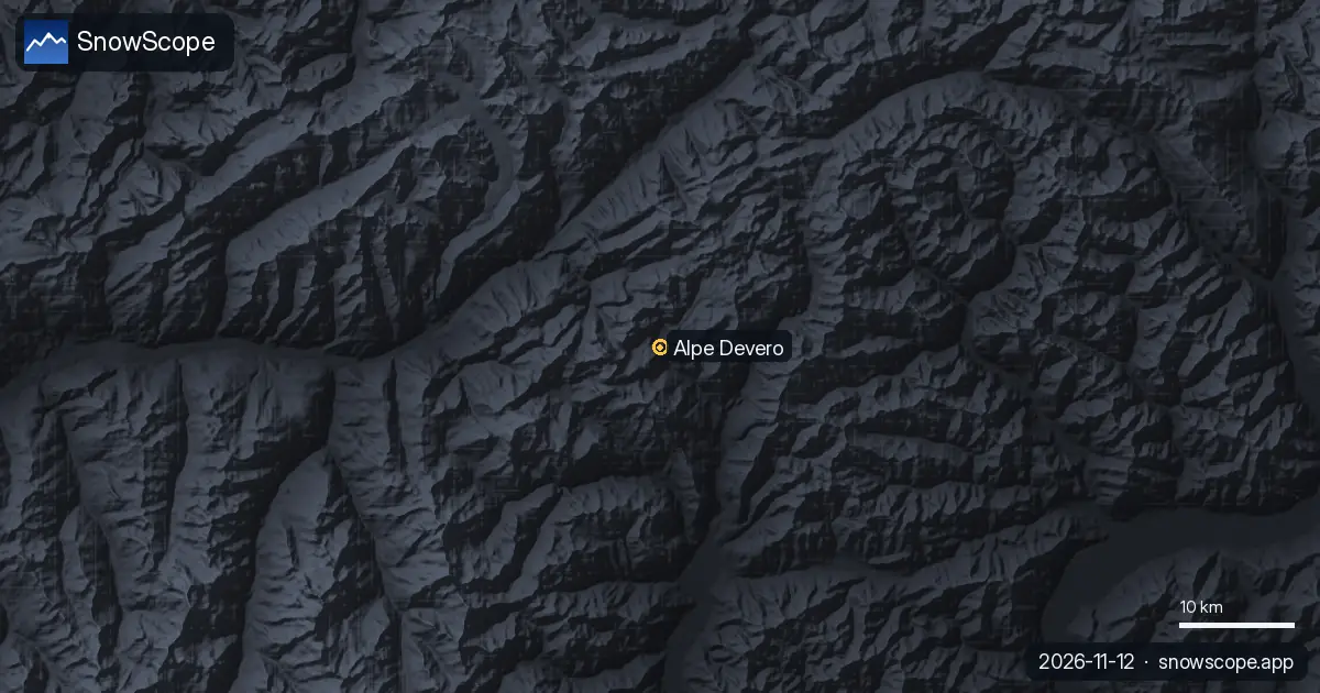
The mapped ski area is small, 5 km of runs and 5 lifts, but the basin opens onto the Veglia-Devero natural park: snowshoe trails on the flat alp, ski touring on the slopes around it, and a village without cars. The snow numbers above are for the lift area; the tours above it hold snow longer.
Tips for skiers
- With a cover this thin, wait for the forecast snow before planning a ski day at Devero.
- Snowshoe and touring routes around the alp need the AINEVA avalanche bulletin once the snow builds.
- The lifts open on the resort's calendar, not on our map: check before you drive up from Baceno.
More maps (external sites)
References and credits
- Alpe Devero, official site of the resort and the Veglia-Devero park www.alpedevero.it/
- AINEVA, avalanche bulletins for the Italian Alps bollettini.aineva.it/
About these numbers
Snow numbers: the SnowScope snow model, run of 11 November 2026, at three heights of the resort (model values for the area, not a measurement on the piste), and our snow history, 46 past winters (1980-81 to 2025-26), a model of the past corrected for height. Run length and lift count: OpenSkiMap mapping. Forecasts change: look at the map before you go.
Official avalanche bulletins: AINEVA – Associazione Interregionale Neve e Valanghe
Cite this report
For research, teaching or the press: the numbers and charts are free to reuse under CC BY 4.0 with this citation.
SnowScope (2026), Alpe Devero snow conditions: 2 cm at the top, 36 cm forecast (12 November 2026), https://snowscope.app/blog/en/2026/11/alpe-devero-snow-conditions-12-november-2026.html, accessed 2026-11-12
SnowScope (Atlas Labs). (2026, November 12). Alpe Devero snow conditions: 2 cm at the top, 36 cm forecast (12 November 2026). SnowScope snow reports. https://snowscope.app/blog/en/2026/11/alpe-devero-snow-conditions-12-november-2026.html
BibTeX
@misc{snowscope2026alpedeverosnowconditions,
  author       = {{SnowScope (Atlas Labs)}},
  title        = {Alpe Devero snow conditions: 2 cm at the top, 36 cm forecast (12 November 2026)},
  year         = {2026},
  month        = nov,
  howpublished = {\url{https://snowscope.app/blog/en/2026/11/alpe-devero-snow-conditions-12-november-2026.html}},
  note         = {Published 2026-11-12 09:44 UTC; accessed 2026-11-12}
}· CC BY 4.0 · Methods, data and tools →
Alpe Devero: snow and temperature by height, this winter vs last (tools) →
Follow Alpe Devero
Free: a message when fresh snow is coming, and the forecast every morning.

More snow reports
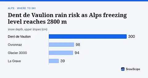
Dent de Vaulion's upper slopes face rain as freezing level reaches 2800 m Thursday; higher resorts get fresh snow for the weekend.
A cheap 3-day Lake Como plan for December with real 2026-27 prices: trains, ferries, a funicular and a ski day at Piani di Bobbio or Madesimo, what you save compared with Cortina, and the chance of snow at Christmas.
Alpine snow depths are running behind normal for early November, with only 55 cm at the best resorts as of November 3rd.