 SnowScope
Beitostølen snow conditions: an even 10 to 13 cm from village to top (14 November 2026)
Beitostølen sits high, and it shows. Norway's national snow map estimates an even 10 to 13 cm on the ground everywhere from 677 m in the valley to 1177 m above the lifts. The village itself is at about 900 m, which is why it is usually one of the first places in southern Norway to have a white November. The weather station in Beitostølen itself, at 965 m, measured 12 cm on the morning of 13 November, which matches the map.
See the live snow forecast for Beitostølen Skisenter in the SnowScope appSnow depth, powder alerts and the 3D map, free.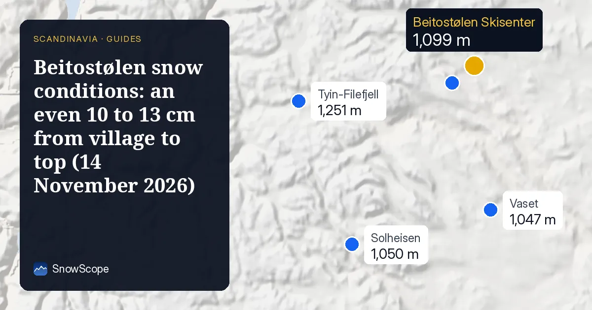
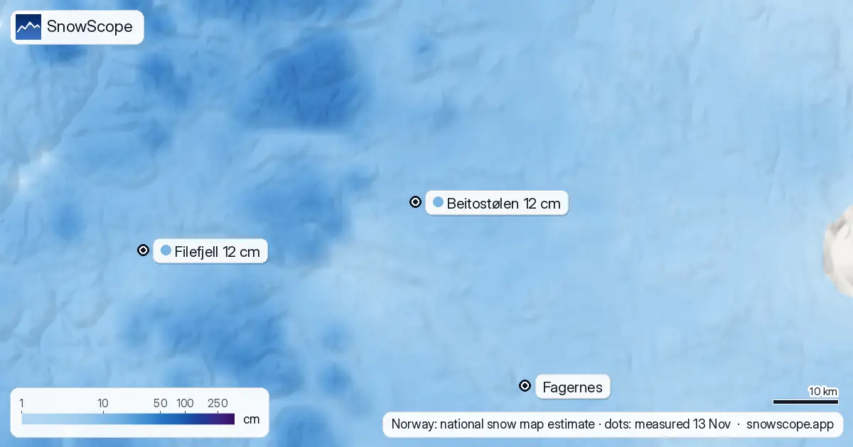
Today: thin but everywhere
Our estimate for the last seven days is about 9 cm of new snow. Because the whole ski area lies between 901 and 1099 m, there is almost no difference between bottom and top; the cover is the same thin layer all over.
For comparison, our 46 past winters give 35 cm at the base and 46 cm at the top as the usual depth on 14 November. So Beitostølen is well below normal for the date.
The week ahead stays cold
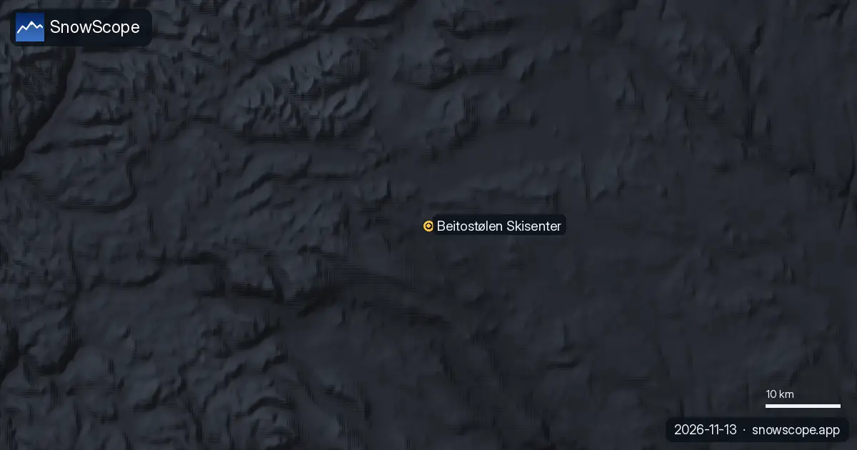
We expect about 10 cm over the next seven days, the same at every height. Other forecasts range from 11 to 40 cm. The good news is in the details: none of them has rain at this height, and the snow line stays around 500 m, far below the village.
So whatever falls stays. Cold nights also help any snowmaking on the slopes.
How the season usually builds
In a middle winter the top has its first lasting snow around 3 October, the base around 8 October, and the top then stays white for about 252 days. By 30 November the usual depth is 53 cm at the base and 63 cm at the top; by 15 December 66 and 76 cm.
Even the thin winters are not that thin here: the smallest peak depth at the top in 46 winters was 97 cm. But the record also shows a slow decline: the middle peak at the top was 161 cm in the first 15 winters and 149 cm in the last 15.
Is Beitostølen open?
The alpine lifts are not running, and we found no opening date on an official page. Cross-country is another story: the local tourist office reported on 13 November that the grooming machine had been out in the terrain for the first time this season.
Tips for skiers
- Beitostølen is famous for early cross-country skiing; look at the official trail report before you pack classic or skate skis.
- At 900 m and above, November days are short and cold: bring layers even if the forecast looks mild in Oslo.
- On the open fjell above the village, low cloud can hide the trail markers. Stay on marked routes in poor light.
More maps (external sites)
References and credits
- seNorge, Norway's national snow map (NVE and MET Norway), open data under the NLOD licence www.senorge.no/
- Visit Beitostølen, official destination site (trail reports), read 2026-11-13 www.visitbeitostolen.no/
- Varsom, avalanche warnings for Norway www.varsom.no/
- MET Norway, station observations (CC BY 4.0), daily reports as published by Ogimet www.ogimet.com/
About these numbers
Measured snow: morning readings of 13 November 2026 at the official weather stations of Sweden (SMHI open data), Finland (FMI open data, CC BY 4.0) and Norway (MET Norway station reports, CC BY 4.0, as published by Ogimet). Norway's national snow map seNorge (NVE and MET Norway, NLOD) gives the estimates on a 1 km grid for the slopes. Our numbers: SnowScope's forecast for the next seven days at three heights of the ski area, compared with independent forecasts (ECMWF, ICON, GFS, GEM) for 14 to 20 November; snow history of 46 past winters (1980-81 to 2025-26), a model of the past corrected for height. Opening dates: the resorts' own pages, read on 13 November 2026. Run length and lift count: OpenSkiMap mapping.
Official avalanche bulletins: Varsom (NVE)
Cite this report
For research, teaching or the press: the numbers and charts are free to reuse under CC BY 4.0 with this citation.
SnowScope (2026), Beitostølen snow conditions: an even 10 to 13 cm from village to top (14 November 2026), https://snowscope.app/blog/en/2026/11/beitostolen-snow-conditions-14-november-2026.html, accessed 2026-11-14
SnowScope (Atlas Labs). (2026, November 14). Beitostølen snow conditions: an even 10 to 13 cm from village to top (14 November 2026). SnowScope snow reports. https://snowscope.app/blog/en/2026/11/beitostolen-snow-conditions-14-november-2026.html
BibTeX
@misc{snowscope2026beitostolensnowcondition,
  author       = {{SnowScope (Atlas Labs)}},
  title        = {Beitostølen snow conditions: an even 10 to 13 cm from village to top (14 November 2026)},
  year         = {2026},
  month        = nov,
  howpublished = {\url{https://snowscope.app/blog/en/2026/11/beitostolen-snow-conditions-14-november-2026.html}},
  note         = {Published 2026-11-14 20:49 UTC; accessed 2026-11-14}
}· CC BY 4.0 · Methods, data and tools →
Beitostølen Skisenter: snow and temperature by height, this winter vs last (tools) →
Follow Beitostølen Skisenter
Free: a message when fresh snow is coming, and the forecast every morning.

More snow reports
Boí Taüll starts at 2039 m and beats Baqueira Beret on day-pass price, though early December snow still takes some patience.
Planning a December trip to Baqueira Beret? See our snow history, ticket prices starting at 70,00 € for a 1-day pass, and how it compares to Astún-Candanchú.
For a low-cost December family ski week at Astún-Candanchú, aim for late December when top slopes hold good snow in 67 % of past winters.