 SnowScope
France is right on schedule: Orelle has 74 cm, a normal 21 November has 64 cm
Orelle has 74 cm at about 2,780 m today, close to the 64 cm of a normal 21 November.
See the live snow forecast for Orelle in the SnowScope appSnow depth, powder alerts and the 3D map, free.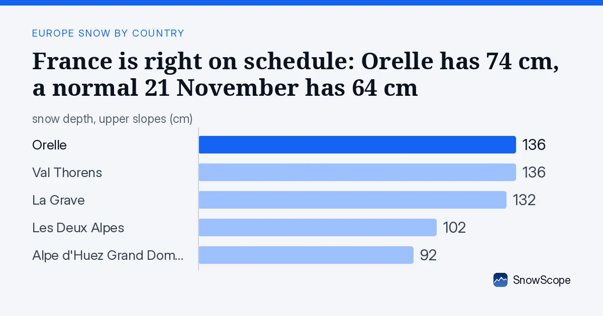
Right where it usually is
Neither a gift nor a worry: the season is following its usual path, and the next storms decide how fast the lower runs fill in.
12,530 km² of snow-covered ground in France this Saturday, 1,160 km² lost since yesterday. That is 14 % of the high ground we map in France.
| Resort | Today | Normal for the date | Share of normal |
|---|---|---|---|
| Orelle | 74 cm | 64 cm | 116 % |
| Val Thorens | 104 cm | 43 cm | 242 % |
| La Grave | 86 cm | 80 cm | 108 % |
| Les Deux Alpes | 34 cm | 28 cm | 121 % |
| Alpe d'Huez Grand Domaine | 37 cm | 24 cm | 154 % |
How this start compares
Here is how the deepest resorts compare with their usual 21 November: Orelle: 74 cm at about 2,780 m, against 64 cm in a normal year; Val Thorens: 104 cm at about 2,474 m, against 43 cm in a normal year; La Grave: 86 cm at about 3,370 m, against 80 cm in a normal year; Les Deux Alpes: 34 cm at about 2,398 m, against 28 cm in a normal year.
4 of these 4 resorts are above their usual depth for the date.
These depths are for one height on each mountain, below the top, so they read lower than the upper-slope numbers further down.
In past winters the best snow at Orelle usually came early March / mid-March.
Where to ski first
At the top of the list, Orelle reports 136 cm.
Close behind: Val Thorens (136 cm), La Grave (132 cm), Les Deux Alpes (102 cm) and Alpe d'Huez Grand Domaine (92 cm).
At Orelle: 105 cm of fresh snow over three days, 88 cm more expected by Tuesday 24 November.
At Val Thorens: 105 cm of fresh snow over three days, 88 cm more expected by Tuesday 24 November.
155 of the 223 resorts we follow in France have snow on their upper slopes.
The rest of the shortlist: La Grave: 132 cm on top, 92 cm in three days, 90 cm expected; Les Deux Alpes: 102 cm on top, 64 cm in three days, 72 cm expected; Alpe d'Huez Grand Domaine: 92 cm on top, 84 cm in three days, 89 cm expected.
Snow on the way?
Over the next three days up to 66 cm is expected, and up to 92 cm over the week.
Sunday 22 November stands out, with up to 55 cm in a day.
The second week adds up to 28 cm where it snows most.
Seven days of snow cover
Snow cover in France over the last days: 16 November 9,450 km²; 17 November 8,670 km²; 18 November 8,560 km²; 19 November 11,870 km²; 20 November 12,730 km²; 21 November 12,530 km².
The deepest resort changed hands 4 times this week.
Snow depth by height
Climb and the snow gets deeper: 1,000-1,500 m: on average 1 cm (8 % of the ground white); 1,500-2,000 m: on average 6 cm (48 % of the ground white); 2,000-2,500 m: on average 16 cm (75 % of the ground white); above 2,500 m: on average 44 cm (95 % white).
Skiing conditions
The new snow freshens the upper slopes; lower down it may already be heavy or wet.
With more snow in the forecast, the next days should improve things further.
Snow cover today
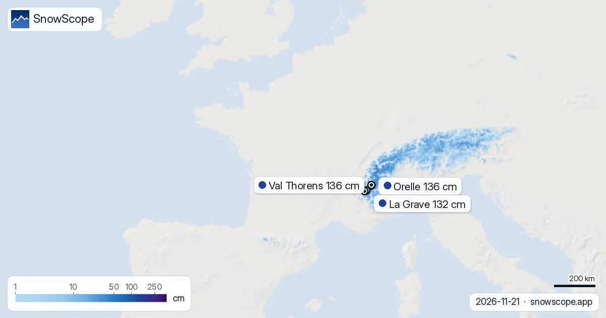
Below about 1,700 m the slopes are mostly green or brown. Last week's 9,010 km² has grown by 3,520 km².
The latest snowfall
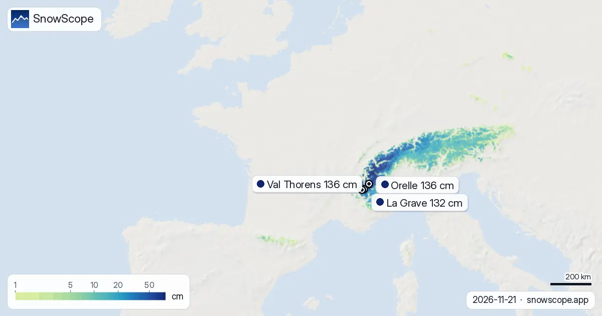
The Mont Blanc massif, the northern French Alps and the southern French Alps got the most fresh snow over three days, up to 77 cm.
In the past day, up to 8 cm was added.
About 11,610 km² received at least 5 cm.
The neighbours today
For comparison, the neighbours on the same day: Switzerland: 64 % white, deepest Anzère with 86 cm, up to 74 cm in the week ahead; Italy: 26 % white, deepest Pfelders with 118 cm, up to 62 cm in the week ahead.
Planning a day on the snow
Above 2,500 m the ground is almost fully white (95 % covered), so runs up there have a continuous base.
Between 1,500 m and 2,500 m the cover is patchy, about 48 % white: expect grass and stones between the snow.
Below 1,500 m the slopes are still almost bare.
If you can choose the day, go after Sunday 22 November: the fresh snow then has time to settle and the roads to be cleared.
Tips for skiers
- Morning snow is firm after a clear night: wait for the sun on south faces.
- Roads to the higher resorts may need winter tyres or chains.
- Snow above the tree line can be wind-packed: watch the ridges.
About these numbers
Resort snow depths are the deepest snow on the resort's upper slopes from the SnowScope snow model (about 1 km, run of 21 November); they are estimates for an area, not a measurement at one point. Station values are measurements on the date shown. Forecasts can change. Always read the official avalanche bulletin before going off-piste.
Cite this report
For research, teaching or the press: the numbers and charts are free to reuse under CC BY 4.0 with this citation.
SnowScope (2026), France is right on schedule: Orelle has 74 cm, a normal 21 November has 64 cm, https://snowscope.app/blog/en/2026/11/france-snow-on-schedule-21-november-2026.html, accessed 2026-11-21
SnowScope (Atlas Labs). (2026, November 21). France is right on schedule: Orelle has 74 cm, a normal 21 November has 64 cm. SnowScope snow reports. https://snowscope.app/blog/en/2026/11/france-snow-on-schedule-21-november-2026.html
BibTeX
@misc{snowscope2026francesnowonschedule21no,
  author       = {{SnowScope (Atlas Labs)}},
  title        = {France is right on schedule: Orelle has 74 cm, a normal 21 November has 64 cm},
  year         = {2026},
  month        = nov,
  howpublished = {\url{https://snowscope.app/blog/en/2026/11/france-snow-on-schedule-21-november-2026.html}},
  note         = {Published 2026-11-21 12:22 UTC; accessed 2026-11-21}
}· CC BY 4.0 · Methods, data and tools →
Orelle: snow and temperature by height, this winter vs last (tools) →
Follow Orelle
Free: a message when fresh snow is coming, and the forecast every morning.

More snow reports
From 13 to 19 November 2026 Slovenia got the most snow and kept it; Serbia and Croatia had a deep but short white weekend; Montenegro only on Durmitor; Bulgaria almost none. The ranking, with links to each country report.
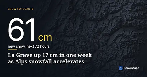
La Grave's snowpack grew 17 cm in a week to 43 cm on 14 November, now forecast to gain 61 cm over the next 72 hours as a system moves across the Alps.
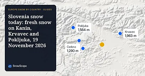
Snow is falling on Slovenia's ski mountains today: about 37 cm on Kanin and 21 cm on Krvavec. Where the snow lies, how it compares with past winters, and the next snowy day.