 SnowScope
Hafjell snow report: a dusting on top, green at Øyer (14 November 2026)
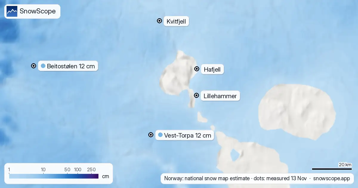
Hafjell, just north of Lillehammer, is still more autumn than winter. Norway's national snow map estimates about 2 cm on the ground at 1045 m, close to the top of the lifts, and 0 cm at 141 m down by the river at Øyer. No public weather station on the hill measures snow depth, so this is an estimate. For comparison, our 46-winter record gives 25 cm as the usual depth at the top on 14 November.
See the live snow forecast for Hafjell in the SnowScope appSnow depth, powder alerts and the 3D map, free.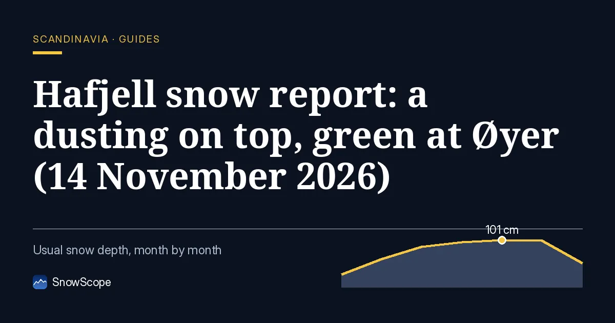
A slow start
Last week brought only a few centimetres: our estimate is about 4 cm at the top and about 1 cm at the base, and some of it has already gone. The bottom half of the hill is bare grass and forest floor.
The nearest station that measures snow, Vest-Torpa at 542 m and 41 km away, had 12 cm on 13 November, so other hills in the region did better. This is a below-normal start for Hafjell, but not a strange one. In one winter out of four, the base has no snow at all on 14 November, and at the top one winter in ten has only 2 cm on that date.
The next seven days
Our forecast gives about 9 cm at the top (1058 m), 8 cm at 625 m and nothing at the base (192 m). The other forecasts we check before publishing range from 12 to 28 cm at the top.
The weak point is the bottom again. There, about 60 % of the water in those forecasts falls as rain, and the snow line sits around 310 to 420 m. So the top half can turn white this week, the lower slopes and the village probably not.
When Hafjell usually fills in
In a middle winter the top has 46 cm by 30 November and 58 cm by 15 December, the base 27 cm and 39 cm. The base usually gets its first lasting snow around 30 October, the top around 12 October.
Snow then builds all winter. At the end of March the top usually holds about 106 cm, and the white season up there lasts about 217 days. The mapped area has 39 km of runs and 17 lifts, so there is room to spread out once it fills in.
Is Hafjell open?
Not yet. Hafjell's opening-hours page gives 27 November 2026 as the planned first day, and the season runs to 11 April 2027.
Tips for skiers
- If you want snow on the ground now, the higher plateaus behind the ski area are your best bet, not the lower slopes.
- Rain at the bottom and snow at the top in the same week means icy patches on the access roads in the morning.
- Opening plans depend on cold nights for snowmaking: follow the resort's own news page.
More maps (external sites)
References and credits
- seNorge, Norway's national snow map (NVE and MET Norway), open data under the NLOD licence www.senorge.no/
- Hafjell, official site: opening dates and lift status, read 2026-11-13 www.alpinco.com/no/hafjell/apningstider-vinter
- Varsom, avalanche warnings for Norway www.varsom.no/
- MET Norway, station observations (CC BY 4.0), daily reports as published by Ogimet www.ogimet.com/
About these numbers
Measured snow: morning readings of 13 November 2026 at the official weather stations of Sweden (SMHI open data), Finland (FMI open data, CC BY 4.0) and Norway (MET Norway station reports, CC BY 4.0, as published by Ogimet). Norway's national snow map seNorge (NVE and MET Norway, NLOD) gives the estimates on a 1 km grid for the slopes. Our numbers: SnowScope's forecast for the next seven days at three heights of the ski area, compared with independent forecasts (ECMWF, ICON, GFS, GEM) for 14 to 20 November; snow history of 46 past winters (1980-81 to 2025-26), a model of the past corrected for height. Opening dates: the resorts' own pages, read on 13 November 2026. Run length and lift count: OpenSkiMap mapping.
Official avalanche bulletins: Varsom (NVE)
Cite this report
For research, teaching or the press: the numbers and charts are free to reuse under CC BY 4.0 with this citation.
SnowScope (2026), Hafjell snow report: a dusting on top, green at Øyer (14 November 2026), https://snowscope.app/blog/en/2026/11/hafjell-snow-report-14-november-2026.html, accessed 2026-11-14
SnowScope (Atlas Labs). (2026, November 14). Hafjell snow report: a dusting on top, green at Øyer (14 November 2026). SnowScope snow reports. https://snowscope.app/blog/en/2026/11/hafjell-snow-report-14-november-2026.html
BibTeX
@misc{snowscope2026hafjellsnowreport14novem,
  author       = {{SnowScope (Atlas Labs)}},
  title        = {Hafjell snow report: a dusting on top, green at Øyer (14 November 2026)},
  year         = {2026},
  month        = nov,
  howpublished = {\url{https://snowscope.app/blog/en/2026/11/hafjell-snow-report-14-november-2026.html}},
  note         = {Published 2026-11-14 16:19 UTC; accessed 2026-11-14}
}· CC BY 4.0 · Methods, data and tools →
Hafjell: snow and temperature by height, this winter vs last (tools) →
Follow Hafjell
Free: a message when fresh snow is coming, and the forecast every morning.

More snow reports
Ski Livigno for 51.50 EUR per day before December 18 when the snow at the top reaches 30cm in 100 % of past winters.

Plan your December 2026 trip to Les Orres by matching weekly pass prices with our snow history of 46 past winters.
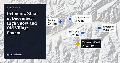
Grimentz-Zinal offers 71 km of runs and reliable high-altitude snow for your December trip, with 6-day passes at CHF 339.00.