 SnowScope
Riksgränsen and Björkliden snow report: 9 cm at the border, a long wait for the lifts (14 November 2026)
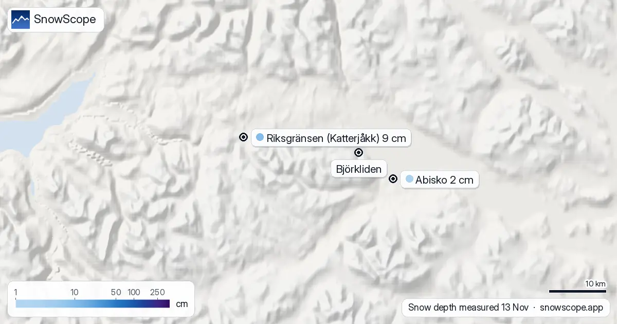
Up at the Norwegian border, well north of the Arctic Circle, winter has started quietly. The weather station at Katterjåkk, 2 km from Riksgränsen at 514 m, measured 9 cm of snow on the morning of 13 November. Down at Abisko, at 392 m and 8 km from Björkliden, the reading was 2 cm. Neither ski area is open, and that is normal: both run their lifts from late winter into spring, when the sun is back.
See the live snow forecast for Riksgränsen in the SnowScope appSnow depth, powder alerts and the 3D map, free.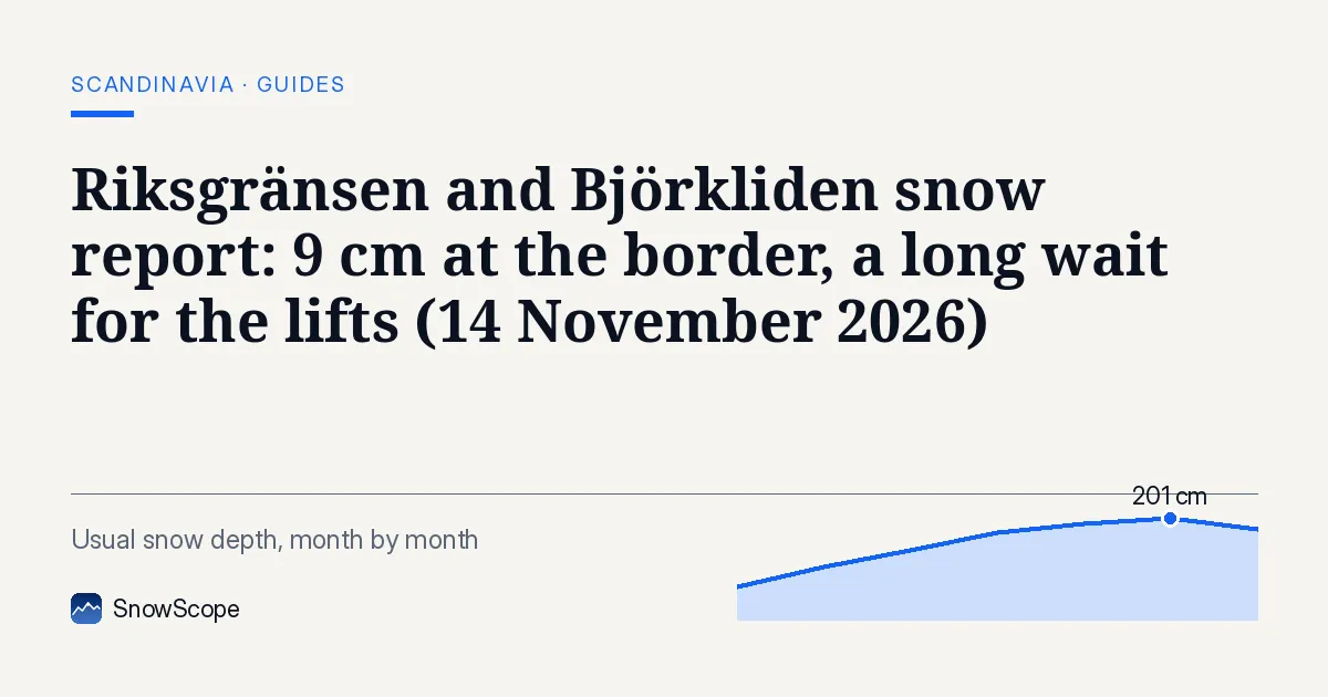
What the stations say
Katterjåkk went from bare ground to 10 cm on 10 November and has stayed around that since: 11 cm, then 9 cm, then 9 cm. The manual station next to it reported 14 cm on 12 November. Abisko, in the rain shadow on the dry side of the mountains, has never had more than 2 cm this month.
That difference is typical. Riksgränsen sits right on the watershed and gets the Atlantic snow first; Björkliden and Abisko lie further east, where the air has already dropped most of its moisture.
The week ahead
Our forecast for the next seven days gives about 9 cm at the top of Riksgränsen (900 m) and about 11 cm at its base (516 m); at Björkliden about 8 cm at the top (933 m) and 7 cm at the base. Other forecasts range from 6 to 19 cm at Riksgränsen's top. It stays cold: no rain at any height, and snow all the way down to the lakes.
How deep it usually is now
Our 46 past winters give Riksgränsen a usual depth of 46 cm at the base and 65 cm at the top on 14 November, and 81 and 99 cm by 15 December. Björkliden is drier: 28 cm at the base and 56 cm at the top on 14 November. The stations show that this November is clearly thinner than usual so far.
Riksgränsen's long record has not lost snow: the middle peak at the top was 221 cm in the first 15 winters and 224 cm in the last 15. Björkliden is also stable, 168 cm and 165 cm.
When the lifts open
Riksgränsen's official winter season 2027 runs from 18 February to 23 May; Björkliden's from 4 February to 2 May. Between now and then the sun hardly rises here, which is why both places wait for light, not for snow. By the time they open, a middle winter has well over a metre at Riksgränsen's top.
Tips for skiers
- Coming for the northern lights or a winter walk now? Expect a thin cover and very short days; the snow is no reason to cancel, the light is the bigger limit.
- The open fjell around Katterjåkk and Abisko is avalanche terrain in places even with little snow; stick to marked trails in the dark season.
- The E10 over the border can close in storms. Check the road status before you drive.
More maps (external sites)
References and credits
- SMHI, open data: daily snow depth at Swedish weather stations www.smhi.se/data/meteorologi/ladda-ner-meteorologiska-observationer
- Riksgränsen, official site: opening dates and lift status, read 2026-11-13 riksgransen.se/om-oss/oppettider-vintersasong/
- Björkliden, official site: opening dates and lift status, read 2026-11-13 bjorkliden.com/om-oss/oppettider-vintersasong/
- Lavinprognoser, avalanche forecasts for the Swedish mountains www.lavinprognoser.se/
About these numbers
Measured snow: morning readings of 13 November 2026 at the official weather stations of Sweden (SMHI open data), Finland (FMI open data, CC BY 4.0) and Norway (MET Norway station reports, CC BY 4.0, as published by Ogimet). Norway's national snow map seNorge (NVE and MET Norway, NLOD) gives the estimates on a 1 km grid for the slopes. Our numbers: SnowScope's forecast for the next seven days at three heights of the ski area, compared with independent forecasts (ECMWF, ICON, GFS, GEM) for 14 to 20 November; snow history of 46 past winters (1980-81 to 2025-26), a model of the past corrected for height. Opening dates: the resorts' own pages, read on 13 November 2026. Run length and lift count: OpenSkiMap mapping.
Official avalanche bulletins: Lavinprognoser (SE) / Varsom (NO)
Cite this report
For research, teaching or the press: the numbers and charts are free to reuse under CC BY 4.0 with this citation.
SnowScope (2026), Riksgränsen and Björkliden snow report: 9 cm at the border, a long wait for the lifts (14 November 2026), https://snowscope.app/blog/en/2026/11/riksgransen-bjorkliden-snow-report-14-november-2026.html, accessed 2026-11-14
SnowScope (Atlas Labs). (2026, November 14). Riksgränsen and Björkliden snow report: 9 cm at the border, a long wait for the lifts (14 November 2026). SnowScope snow reports. https://snowscope.app/blog/en/2026/11/riksgransen-bjorkliden-snow-report-14-november-2026.html
BibTeX
@misc{snowscope2026riksgransenbjorklidensno,
  author       = {{SnowScope (Atlas Labs)}},
  title        = {Riksgränsen and Björkliden snow report: 9 cm at the border, a long wait for the lifts (14 November 2026)},
  year         = {2026},
  month        = nov,
  howpublished = {\url{https://snowscope.app/blog/en/2026/11/riksgransen-bjorkliden-snow-report-14-november-2026.html}},
  note         = {Published 2026-11-14 16:49 UTC; accessed 2026-11-14}
}· CC BY 4.0 · Methods, data and tools →
Riksgränsen: snow and temperature by height, this winter vs last (tools) →
Follow Riksgränsen
Free: a message when fresh snow is coming, and the forecast every morning.

More snow reports
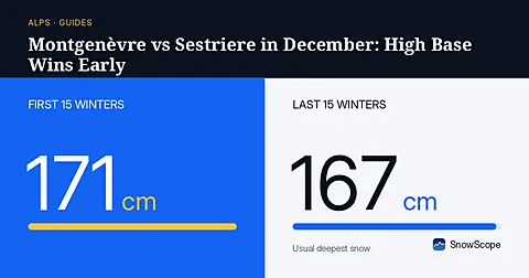
Montgenèvre has 56 cm of usual December snow at its base, giving weekend drivers deeper early cover than Sestriere across the border.
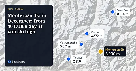
Monterosa Ski day passes run from 40.00 to 71.00 EUR online. In December the snow is up high: 124 cm usual at 3030 m, 6 cm at 1207 m.
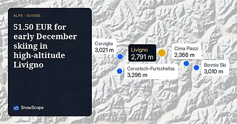
Ski Livigno for 51.50 EUR per day before December 18 when the snow at the top reaches 30cm in 100 % of past winters.