 SnowScope
Davos next week: steady snow, about 16 cm up high (forecast 23–29 November 2026)
The question for anyone heading to Davos next week is simple: how much, and where? Between Monday 23 and Sunday 29 November our forecast puts 16 cm on the upper slopes (4–27 cm), 15 cm around 1900 m and 5 cm at the base, with Thursday 26 November as the snowiest day.
See the live snow forecast for Davos in the SnowScope appSnow depth, powder alerts and the 3D map, free.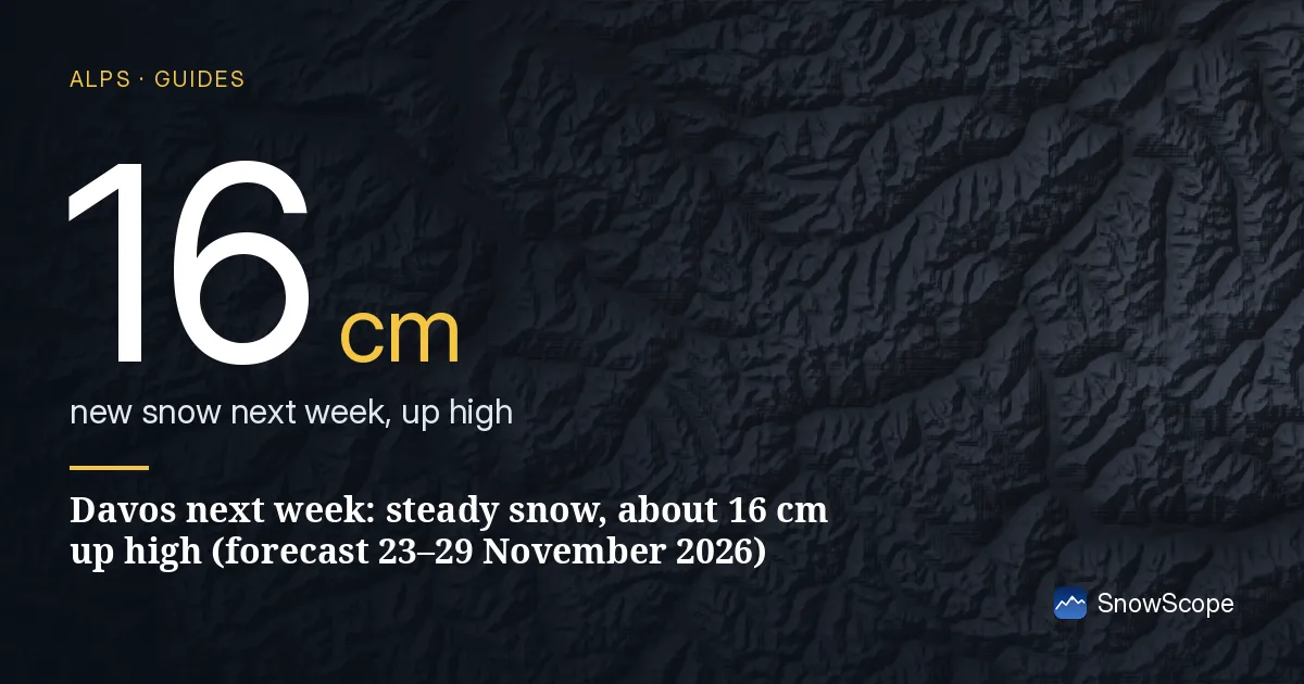
First, this week's snow
This week gives little here: 14 cm at the top from 17 to 20 November and 4 cm at the base. Next week is the bigger of the two for Davos, which is the reverse of the western Alps.
How the week of 23–29 November adds up in Davos
Read from the top down: 16 cm near 2600 m, 15 cm near 1900 m, 5 cm near 1100 m. The low-to-high spread is 4–27 cm at the top and 2–8 cm at the base.
The snow is not spread evenly. The days that matter at the top are Wednesday 25 (3 cm, up to 4), Thursday 26 (6 cm, up to 12) and Sunday 29 (2 cm, up to 5); the rest of the week is close to dry.
Best day, best slopes
The snowiest day up top is Thursday 26 November, with 6 cm in the middle of our forecast (up to 12 cm). That is a fresh coat on the groomers, nothing more.
Go high: depth is safest on Parsenn and the Weissfluhjoch, and the best skiing should be on the long runs from Weissfluhjoch towards Küblis, Davos' classic powder outing. Treat Klosters and Küblis at the bottom of the long valley runs as the weak point.
Where the snow line sits
The base around 1100 m gets 5 cm against 16 cm at the top. That gap says the snow line sits above the village for much of the week: rain or wet snow down low, real snow only higher up.
Davos has several separate areas; Parsenn is the one that gets the most out of a north-west flow.
Confidence, in plain words
Not very. The high case gives 27 cm up top, the low case just 4 cm, so whether Davos gets a real fall depends on a storm track that is still undecided.
Book flexibly if you can: the picture for Davos will be much sharper by the weekend.
Davos against its neighbours
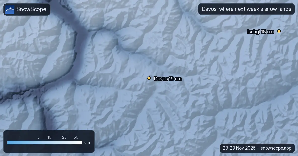
At the top, next week, our forecast gives St. Moritz (38 km away) 19 cm, Ischgl (40 km away) 18 cm and Livigno (43 km away) 19 cm, against 16 cm here.
Nothing to separate them on snow alone; the choice comes down to the terrain you want.
Tips for skiers
- Off the groomed runs, new snow means new avalanche risk: the Swiss avalanche bulletin is the reference.
- Early season: confirm which lifts are open with Davos itself before you travel.
- Pack for wet weather in the village: the 5 cm at the base hides a lot of rain.
More maps (external sites)
About these numbers
Snow numbers: our two-week snow forecast issued on 16 November 2026, read at three heights of the resort (top, mid-mountain, base). Each total is the middle of a range, with a low and a high case. These are estimates for the slopes, not resort measurements, and forecasts move from day to day: check the live map before you go.
Cite this report
For research, teaching or the press: the numbers and charts are free to reuse under CC BY 4.0 with this citation.
SnowScope (2026), Davos next week: steady snow, about 16 cm up high (forecast 23–29 November 2026), https://snowscope.app/blog/en/2026/11/davos-snow-forecast-next-week-23-29-november-2026.html, accessed 2026-11-16
SnowScope (Atlas Labs). (2026, November 16). Davos next week: steady snow, about 16 cm up high (forecast 23–29 November 2026). SnowScope snow reports. https://snowscope.app/blog/en/2026/11/davos-snow-forecast-next-week-23-29-november-2026.html
BibTeX
@misc{snowscope2026davossnowforecastnextwee,
  author       = {{SnowScope (Atlas Labs)}},
  title        = {Davos next week: steady snow, about 16 cm up high (forecast 23–29 November 2026)},
  year         = {2026},
  month        = nov,
  howpublished = {\url{https://snowscope.app/blog/en/2026/11/davos-snow-forecast-next-week-23-29-november-2026.html}},
  note         = {Published 2026-11-16 11:33 UTC; accessed 2026-11-16}
}· CC BY 4.0 · Methods, data and tools →
Davos: snow and temperature by height, this winter vs last (tools) →
Follow Davos
Free: a message when fresh snow is coming, and the forecast every morning.

More snow reports
A walk-through of the Sella Ronda from Sëlva in Val Gardena: Gardena, Campolongo, Pordoi and Sella passes in order, with our snow history of 46 past winters.
Discover the calm slopes of St-Luc Chandolin where mid-mountain snow has reached 30 cm in 98 % of winters during late December.
Ski 157 km of mapped runs in Serre Chevalier where the top of the mountain has a 100 % chance of snow by mid-December.