 SnowScope
Kiruna has no snow today: 0 cm where 46 winters out of 46 were white (13 November 2026)
Kiruna, a town where winter usually settles in October, is bare in mid-November. The weather station in town, at 519 m, measured 0 cm of snow on Friday morning, and it has measured nothing all week. Jukkasjärvi and Esrange, down in the Torne valley, are bare too.
See the live snow forecast for Kiruna in the SnowScope appSnow depth, powder alerts and the 3D map, free.How unusual is this?
Very. Our snow history for Kiruna's height covers 46 past winters, and every single one of them had snow on the ground on 13 November. The middle value for the date is 23 cm; in a thin year it was about 14 cm, in a deep one 35 cm or more. Half of the winters already had a lasting cover by 2 October.
Recent winters on this date: 45 cm in 2021-22, 12 cm in 2022-23, 40 cm in 2023-24, 7 cm in 2024-25 and 24 cm last winter. A green 13 November is new.
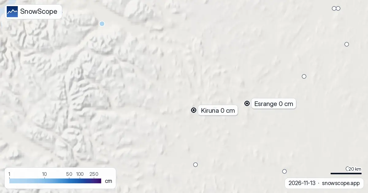
Where the nearest snow is
It is not far, but it is thin. Abisko, 80 km to the north-west, has 2 cm, and Katterjåkk near Riksgränsen, at 514 m on the Norwegian border, has 9 cm. Across the whole of Swedish Lapland north of the Arctic Circle only 5 of 22 stations measured any snow today.
The cold is there: it is the moisture that has been missing. The snow this week fell further south, from Dalarna to the Västerbotten coast.
The weekend: very cold, a little snow
Saturday is clear and cold, down to about -14 °C. Sunday brings the first light snow, around 1 to 2 cm, and Monday perhaps a little more, up to 3 cm in the wetter of the two forecasts we read. That will whiten the ground, but a skiable cover is still some weeks away at this pace.
Tips for skiers
- Planning a Kiruna trip for snow activities this month: ask your operator what runs on bare ground; dog and snowmobile tours need snow.
- Cold, bare ground means frozen lakes and puddles without snow on top: black ice on paths and roads is the risk this weekend.
- For the first skiing, the mountains towards Riksgränsen are the place to watch, not the town.
More maps (external sites)
References and credits
- SMHI, open meteorological observations (snow depth, daily) www.smhi.se/data/meteorologi/ladda-ner-meteorologiska-observationer
- Open-Meteo, weather forecast data (ECMWF and ICON models) open-meteo.com/
About these numbers
Snow depth today: measured at weather stations on the morning of 13 November 2026 (SMHI); a station reports the snow on its own small plot, so a few kilometres away and a hundred metres higher the ground can look different. Usual depth for the date: SnowScope snow history, 46 past winters (1980-81 to 2025-26), a model of the past at the city's height, not a station record. Weekend: two weather models (ECMWF IFS and DWD ICON, read through Open-Meteo), given as a range. Places and rules: the official pages listed below.
Cite this report
For research, teaching or the press: the numbers and charts are free to reuse under CC BY 4.0 with this citation.
SnowScope (2026), Kiruna has no snow today: 0 cm where 46 winters out of 46 were white (13 November 2026), https://snowscope.app/blog/en/2026/11/kiruna-snow-depth-13-november-2026.html, accessed 2026-11-13
SnowScope (Atlas Labs). (2026, November 13). Kiruna has no snow today: 0 cm where 46 winters out of 46 were white (13 November 2026). SnowScope snow reports. https://snowscope.app/blog/en/2026/11/kiruna-snow-depth-13-november-2026.html
BibTeX
@misc{snowscope2026kirunasnowdepth13novembe,
  author       = {{SnowScope (Atlas Labs)}},
  title        = {Kiruna has no snow today: 0 cm where 46 winters out of 46 were white (13 November 2026)},
  year         = {2026},
  month        = nov,
  howpublished = {\url{https://snowscope.app/blog/en/2026/11/kiruna-snow-depth-13-november-2026.html}},
  note         = {Published 2026-11-13 19:29 UTC; accessed 2026-11-13}
}· CC BY 4.0 · Methods, data and tools →
Follow Kiruna
Free: a message when fresh snow is coming, and the forecast every morning.

More snow reports
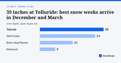
Telluride has 39 inches today. Peak snow weeks historically arrive in late December and March, not November.
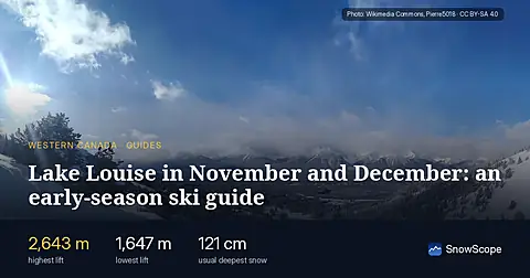
Skiing Lake Louise early in the season: why it starts early, what November and December snow usually looks like in 46 past winters, and how to ski thin early cover.
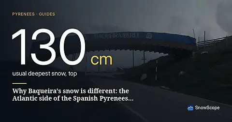
Baqueira-Beret sits in the Val d'Aran, on the Atlantic side of the Pyrenees. What that means for its snow, tested with 46 past winters against La Molina, and when to go.