 SnowScope
Pyrenees: no snow yet at Baqueira-Beret – this winter against last winter
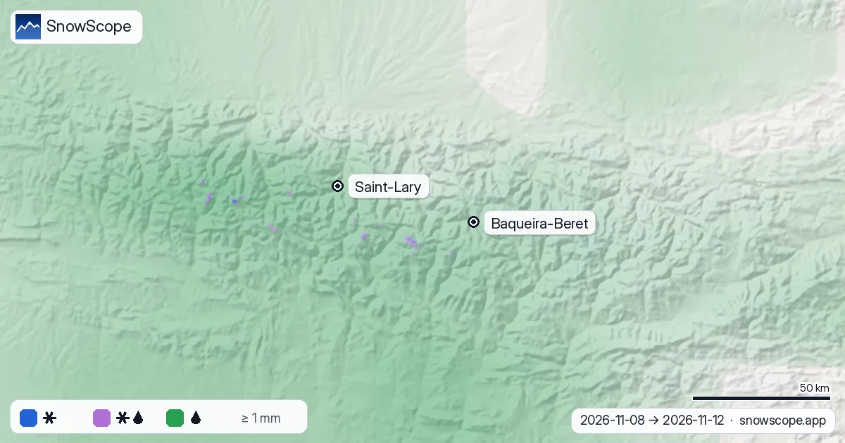
There is no snow on the ground at Baqueira-Beret yet: our model gives 0 cm at 2,052 m on 7 November. That is not unusual. In the middle of 46 past winters there was just 1 cm at this height on this date.
See the live snow forecast for Baqueira-Beret in the SnowScope appSnow depth, powder alerts and the 3D map, free.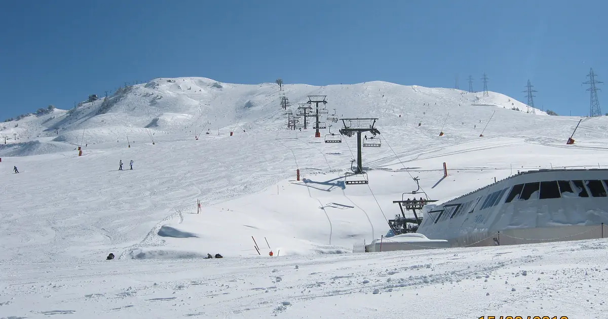
This winter against last winter
The interactive chart puts this winter (blue) next to last winter (orange) and the usual range of 46 past winters (shaded). Last winter the snow at 2,052 m peaked at 100.6 cm on 15 February 2026; at the top of the resort (2,600 m) it reached 149.0 cm on 20 February 2026.
The shaded band shows how much the start of a Pyrenean winter varies: in some years the slopes are white by mid-November, in others the first real snow waits until December. Tap or move along the chart to read any day, or download the numbers.

Show the numbers
| Date | This winter (cm) | Last winter (cm) | Middle of past winters (cm) | Usual range (cm) |
|---|---|---|---|---|
| 10-01 | – | 0 | 0 | 0–0 |
| 10-15 | – | 0 | 0 | 0–1 |
| 11-01 | 0 | 0 | 0 | 0–7 |
| 11-15 | – | 0 | 2 | 0–21 |
| 12-01 | – | 14 | 12 | 0–36 |
| 12-15 | – | 5 | 20 | 2–54 |
| 01-01 | – | 23 | 29 | 2–63 |
| 01-15 | – | 39 | 43 | 6–83 |
| 02-01 | – | 89 | 64 | 11–97 |
| 02-15 | – | 101 | 67 | 9–105 |
| 03-01 | – | – | 69 | 9–110 |
| 03-15 | – | 56 | 52 | 6–103 |
| 04-01 | – | 69 | 38 | 1–97 |
| 04-15 | – | 55 | 23 | 0–84 |
| 05-01 | – | 0 | 4 | 0–46 |
| 05-15 | – | 0 | 0 | 0–20 |
What the next days bring
The forecast gives 51.2 mm of precipitation at Baqueira-Beret from 8 to 12 November, 42.2 mm of it on 12 November. But the air stays mild: during the wet hours the snow line is near 2,620 m at the resort, and only 43 % of the precipitation at the top should fall as snow.
Across the range the snow line sits mostly between 2,860 and 3,280 m. The chart by height shows it: even at 3,000 m only 10 % of the precipitation falls as snow, the rest as wet snow or rain.

Show the numbers
| Height (m) | Snow % | Wet snow / sleet % | Rain % |
|---|---|---|---|
| 500 | 0 | 0 | 100 |
| 750 | 0 | 0 | 100 |
| 1,000 | 0 | 0 | 100 |
| 1,250 | 0 | 0 | 100 |
| 1,500 | 0 | 0 | 100 |
| 1,750 | 0 | 0 | 100 |
| 2,000 | 0 | 0 | 100 |
| 2,250 | 0 | 0 | 100 |
| 2,500 | 0 | 0 | 100 |
| 2,750 | 0 | 19 | 81 |
| 3,000 | 10 | 55 | 35 |
How we compare winters
This winter's line is our daily snow model. The past winters come from a reanalysis archive that starts in 1980, adjusted to the height of the resort, so the comparison is like for like at the same place and height.
A model at one height is not a snow report: wind, sun and snowmaking change what you find on the piste. Use the chart to see whether the season is early, late or normal, not to plan a single run.
Tips for skiers
- Early-season snow in the Pyrenees often comes with a cold north-westerly flow: watch the snow line in the forecast.
- Check the resort's own opening dates; we never say a resort is open.
- Forecasts change: look at the live snow map again before you go.
References and credits
- Muñoz Sabater, J. (2019). ERA5-Land hourly data from 1950 to present. Copernicus Climate Change Service (C3S) Climate Data Store. doi:10.24381/cds.e2161bac doi.org/10.24381/cds.e2161bac
- Minder, J. R., Durran, D. R. and Roe, G. H. (2011). Mesoscale controls on the mountainside snow line. Journal of the Atmospheric Sciences 68, 2107-2127. doi.org/10.1175/JAS-D-10-05006.1
- American Meteorological Society, Glossary of Meteorology: 'Freezing level'. glossary.ametsoc.org/wiki/Freezing_level
- Open-Meteo.com forecast API, ECMWF IFS 0.25° model (CC BY 4.0): hourly precipitation and temperature on pressure levels. open-meteo.com/en/docs/ecmwf-api
- SnowScope snow model and forecast maps (SnowScope, Atlas Labs). snowscope.app/
About these numbers
This winter: SnowScope snow model at the resort's middle height. Past winters: daily snow depth 1980-81 to 2025-26 from a reanalysis archive, adjusted to the height; the band is the 10th to 90th percentile for each calendar day. Snow line: ECMWF IFS via Open-Meteo, 0 °C level minus 300 m.
Cite this report
For research, teaching or the press: the numbers and charts are free to reuse under CC BY 4.0 with this citation.
SnowScope (2026), Pyrenees: no snow yet at Baqueira-Beret – this winter against last winter, https://snowscope.app/blog/en/2026/11/pyrenees-baqueira-beret-this-winter-vs-last-winter-8-november-2026.html, accessed 2026-11-08
SnowScope (Atlas Labs). (2026, November 8). Pyrenees: no snow yet at Baqueira-Beret – this winter against last winter. SnowScope snow reports. https://snowscope.app/blog/en/2026/11/pyrenees-baqueira-beret-this-winter-vs-last-winter-8-november-2026.html
BibTeX
@misc{snowscope2026pyreneesbaqueiraberetthi,
  author       = {{SnowScope (Atlas Labs)}},
  title        = {Pyrenees: no snow yet at Baqueira-Beret – this winter against last winter},
  year         = {2026},
  month        = nov,
  howpublished = {\url{https://snowscope.app/blog/en/2026/11/pyrenees-baqueira-beret-this-winter-vs-last-winter-8-november-2026.html}},
  note         = {Published 2026-11-08 13:51 UTC; accessed 2026-11-08}
}· CC BY 4.0 · Methods, data and tools →
Baqueira-Beret: snow and temperature by height, this winter vs last (tools) →
Follow Baqueira-Beret
Free: a message when fresh snow is coming, and the forecast every morning.

More snow reports
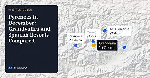
Compare Grandvalira and Spanish resorts in December 2026 for snow depths, lift heights, and prices starting from 49.00 EUR.
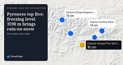
Freezing level reaches 3590 m across the Pyrenees on 9 November, bringing rain-on-snow to thin upper slopes. Pack waterproof layers and gaiters.
For a low-cost December family ski week at Astún-Candanchú, aim for late December when top slopes hold good snow in 67 % of past winters.