 SnowScope
Fresh snow in the Pyrenees: 17 cm in 72 hours at Rasos de Peguera (3 November)
Rasos de Peguera got 17 cm of new snow in the last 72 hours, 17 cm of it in the last 24 hours. It now has about 13 cm on its upper slopes, according to our snow model.
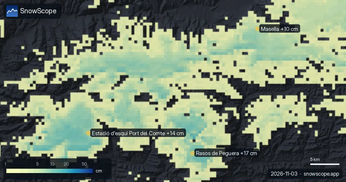
Where the fresh snow fell
Elsewhere, Estació d'esquí Port del Comte and Masella got 14 cm and 10 cm in the last 72 hours.
40 of 53 resorts in the Pyrenees have snow on their upper slopes today, and our model counts 3,970 km² of snow-covered ground.
| Resort | Snow depth | New snow, 72 h | Coming, next days | Top |
|---|---|---|---|---|
| Rasos de Peguera | 13 cm | 17 cm | 4 cm | 2,036 m |
| Estació d'esquí Port del Comte | 10 cm | 14 cm | 5 cm | 2,122 m |
| Masella | 15 cm | 10 cm | 4 cm | 2,509 m |
Measured on the ground
The Cadí Nord (2.145 m) - Prat d'Aguiló station (2,145 m) measured 2 cm of snow on the ground on 2 November, with 1 cm of new snow in 24 hours. The Cadí Nord (2.145 m) - Prat d'Aguiló station (2,145 m) measured 2 cm of snow on the ground on 2 November, with 1 cm of new snow in 24 hours.
Keep in mind: resort values come from our snow model and describe an area, while stations measure one point.
Height, slopes and snow line
Height matters: at Rasos de Peguera, our model gives 7 cm at the top (2,036 m), 7 cm at mid-mountain (1,931 m) and 4 cm at the base (1,826 m).
At Rasos de Peguera, the freezing level reaches 1,600 m to 2,220 m on 5 November, above the top of the resort (2,036 m): rain or wet snow is possible on every slope that day.
The next days
Until 6 November, our forecast gives 5 cm at Estació d'esquí Port del Comte, 4 cm at Rasos de Peguera and 4 cm at Masella.
Forecasts a few days ahead can change: look at the map again the day before you travel.
Safety and avalanche level
After fresh snow, wind builds drifts on sheltered slopes. Off-piste, the first days after a snowfall need the most care.
Tips for skiers
- Fresh snow is best in the first hours after it stops: go early, before the sun and the crowds.
- Look for snow high up and on north-facing slopes: they keep it longest, while south-facing slopes lose it first in the sun.
- Before you ski off-piste or go touring, read the official avalanche bulletin (links below).
- Snow on the map does not mean a resort is open: check lifts and opening dates on the resort's website.
- Get a powder alert in the SnowScope app to know when Rasos de Peguera gets fresh snow.
About these numbers
Resort snow depths are the deepest snow on the resort's upper slopes from the SnowScope snow model (about 1 km, run of 3 November); they are estimates for an area, not a measurement at one point. Station values are measurements on the date shown. Forecasts can change. Always read the official avalanche bulletin before going off-piste.
Official avalanche bulletins: Météo-France / Meteocat / AEMET

More snow reports
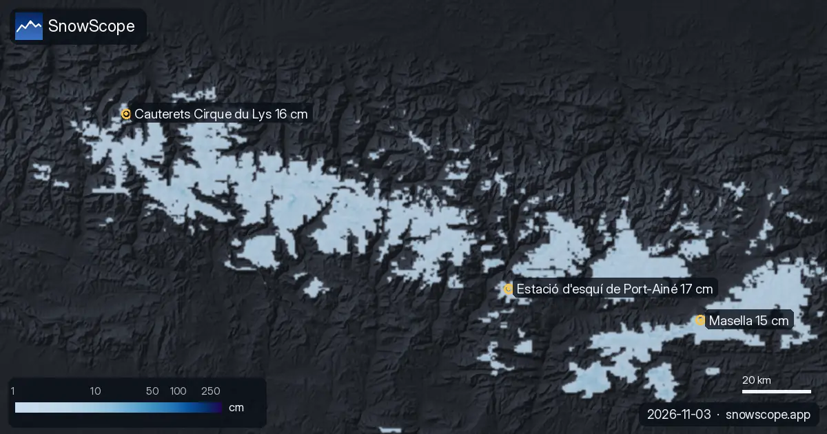
We combined today's snow depth, the new snow of the last 72 hours and the forecast to pick Masella, Estació d'esquí de Port-Ainé and Cauterets Cirque …
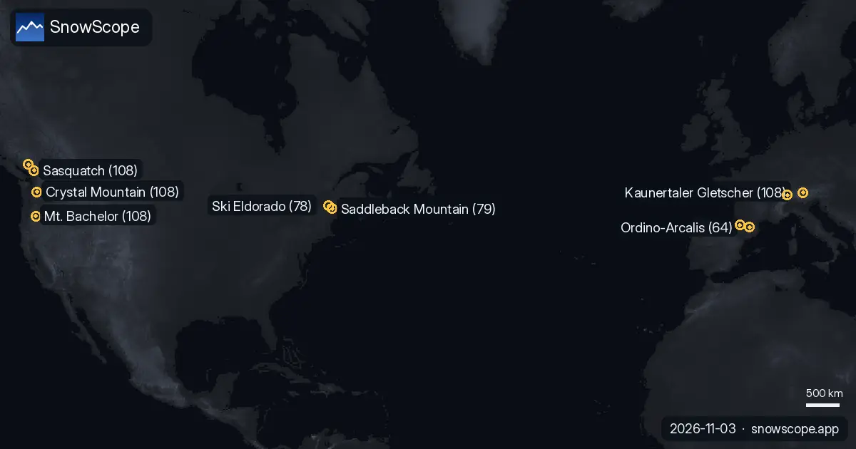
Which resorts almost always have snow? We looked at 46 past winters (1980-81–2025-26) for every resort on our map and counted the days from 15 …
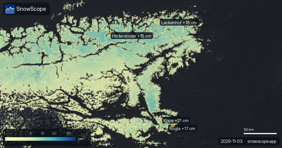
Kope got 21 cm of new snow in the last 72 hours. It now has about 11 cm on its upper slopes, according to our snow model.