 SnowScope
Only 49% of normal snow at Breimsbygda: is Scandinavia behind yet?
Despite 56–60 centimetres of fresh snow across Norway in the last 72 hours (modelled), the region is running well behind where it normally sits in mid-November. At Breimsbygda Skisenter, the mid-slope depth is 41 centimetres—just 49% of the typical 84 centimetres—and rare: comparable to only the lowest one in every seven winters on record.
See the live snow forecast for Breimsbygda Skisenter in the SnowScope appSnow depth, powder alerts and the 3D map, free.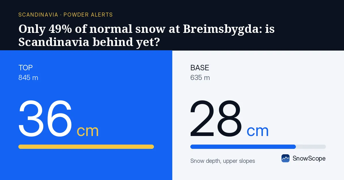
The timing puzzle
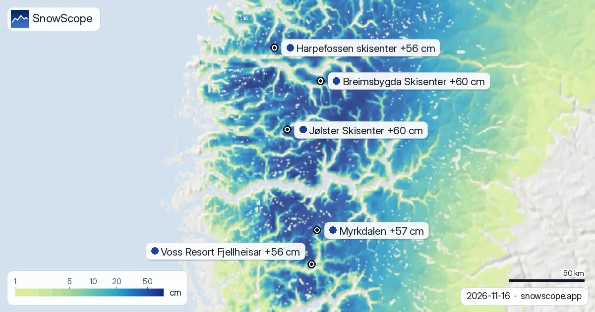
The puzzle with this week's snow is timing. Our model shows storm cells dropped 76–84 centimetres over three days near Harpefossen, Jølster, and Myrkdalen, with 56–60 centimetres at most other resorts. Good fresh powder. Yet when measured against historical norms and satellite views, the snowpack today is thin.
At Breimsbygda's top (845 metres), the depth sits at 36 centimetres; at the base (635 metres), 28 centimetres. Ground checks confirm: three stations (Hjartasen, Storlien-Storvallen, Tagdalen) recorded 7–8 centimetres of new snow on 16 November across different elevations, and satellite saw snow on the ground yesterday. The snow is there. It is just not very deep.
| Resort | Snow depth | New snow, 72 h | Coming, next days | Top |
|---|---|---|---|---|
| Breimsbygda Skisenter | 50 cm | 60 cm | 1 cm | 845 m |
| Jølster Skisenter | 45 cm | 60 cm | 0 cm | 759 m |
| Myrkdalen | 49 cm | 57 cm | 0 cm | 1,067 m |
| Harpefossen skisenter | 46 cm | 56 cm | 2 cm | 812 m |
| Voss Resort Fjellheisar | 46 cm | 56 cm | 0 cm | 948 m |
Where fresh snow fell
The 72-hour snowfall was not uniform across the region. Storm cells clustered tightly near three main resorts. Harpefossen skisenter sits closest to the heaviest falls: 84 centimetres, only 19 kilometres away. It shows the most recent accumulation at 46 centimetres on upper slopes and picked up 4 centimetres in the last 24 hours alone.
Jølster Skisenter lies 25 kilometres from cells that dropped 78 centimetres; it holds 45 centimetres but gained only 2 centimetres in 24 hours. Myrkdalen sits 16 kilometres from 76-centimetre storm cells, has 49 centimetres on upper slopes, but only 1 centimetre arrived in the last 24 hours. Voss Resort Fjellheisar and Breimsbygda received the same general fall from cells further out, so their daily rates were lower.
What is normal in November
On this date in a typical November, Breimsbygda sits at 84 centimetres at mid-slope (740 metres). Today it has 41 centimetres. That 49% shortfall is not unique to this resort. Myrkdalen at 756 metres has 28 centimetres when normal is 54 centimetres (52% of average).
Both resorts run below normal, and the data from past 46 winters tells us this depth is rare. Breimsbygda is deeper than only six of 46 past winters (13%). When you're at the low end of the historical range in mid-November, it means either the season came late or we're facing a lean winter.
What the forecast says
Our model shows little coming for the next two to three days. By 19 November, the forecast adds 1 centimetre at Breimsbygda (top), 0 centimetres at Myrkdalen, and 4 centimetres at Jølster. Harpefossen gets 2 centimetres.
Over the full next seven days, we expect 9–10 centimetres at higher elevations of Breimsbygda and Jølster, and even less at Myrkdalen. The region is not about to receive a major powder event in the next week.
The bigger picture
Across the entire region, 332 of 423 resorts have snow today, down from 382 on 14 November. By 19 November, we forecast 357 resorts with snow (a slight recovery). The retreat in coverage tells the story: the snowpack is thin and fragile. Many lower-lying areas could see bare ground if there's a warm spell.
Freezing levels on 17 November range from –20 metres at Jølster to 310–580 metres at Myrkdalen, which means consolidation and stability will vary widely by slope and aspect.
Tips for skiers
- Ski higher elevations and north-facing slopes where snow is thickest and coldest; at Breimsbygda, 36 cm at 845 m is preferable to 28 cm at 635 m.
- Harpefossen holds the most recent powder from the 72-hour storms (46 cm on upper slopes); other resorts have less fresh snow on top.
- Depths under 30 cm across much of the region leave little margin; watch for rocks and thin cover on lower slopes.
- Forecast is dry for the next three days; conditions are as good as they will get until late in the week.
- Check official avalanche reports; freezing levels vary by elevation, and heavy falls can create unstable layers in the new snow.
About these numbers
Resort snow depths are the deepest snow on the resort's upper slopes from the SnowScope snow model (about 1 km, run of 16 November); they are estimates for an area, not a measurement at one point. Station values are measurements on the date shown. Forecasts can change. Always read the official avalanche bulletin before going off-piste.
Cite this report
For research, teaching or the press: the numbers and charts are free to reuse under CC BY 4.0 with this citation.
SnowScope (2026), Only 49% of normal snow at Breimsbygda: is Scandinavia behind yet?, https://snowscope.app/blog/en/2026/11/scandinavia-breimsbygda-skisenter-fresh-snow-powder-alert-16-november-2026.html, accessed 2026-11-16
SnowScope (Atlas Labs). (2026, November 16). Only 49% of normal snow at Breimsbygda: is Scandinavia behind yet?. SnowScope snow reports. https://snowscope.app/blog/en/2026/11/scandinavia-breimsbygda-skisenter-fresh-snow-powder-alert-16-november-2026.html
BibTeX
@misc{snowscope2026scandinaviabreimsbygdask,
  author       = {{SnowScope (Atlas Labs)}},
  title        = {Only 49% of normal snow at Breimsbygda: is Scandinavia behind yet?},
  year         = {2026},
  month        = nov,
  howpublished = {\url{https://snowscope.app/blog/en/2026/11/scandinavia-breimsbygda-skisenter-fresh-snow-powder-alert-16-november-2026.html}},
  note         = {Published 2026-11-16 20:42 UTC; accessed 2026-11-16}
}· CC BY 4.0 · Methods, data and tools →
Breimsbygda Skisenter: snow and temperature by height, this winter vs last (tools) →
Follow Breimsbygda Skisenter
Free: a message when fresh snow is coming, and the forecast every morning.

More snow reports
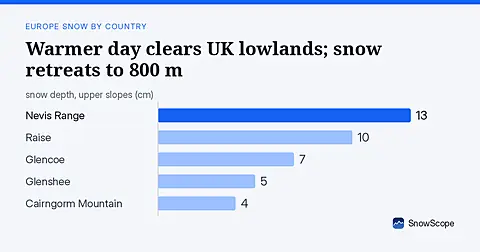
Warm weather on 16 November removed 1290 km2 of UK snow cover. The snow line is now at 800 metres; fresh snow arrives tomorrow.
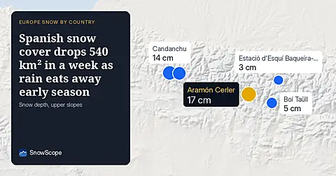
Spain's snow-covered area fell to 310 km² on 16 November. Only 6 of 31 resorts have skiable snow, led by Aramón Cerler at 17 cm.
Snow model forecasts 112 cm in Switzerland by November 24, with 29 cm on November 17. Fresh water accumulates across the high Alps over the coming week.