 SnowScope
Snow reports · Powder alerts
Daily snow reports for skiers: where the snow is, what is coming and where to ski, from the SnowScope snow map and measuring stations. Every number comes from that day's data.

La Pierre Saint-Martin snow forecast: 18 cm by 24 November (Pyrenees). More snow is on the way: by 24 November our forecast gives 19 cm at Astun, …
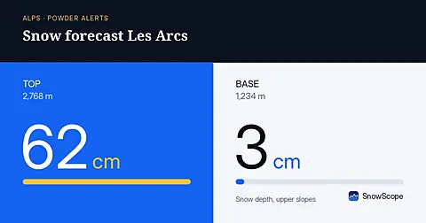
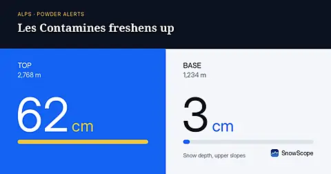
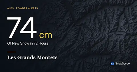
Les Arcs: 102 cm of fresh snow in 72 hours (Alps, 21 November). Les Grands Montets got 114 cm of new snow in the last 72 hours, 16 cm of it in the …

US West snow report, 18 November. Forecast to 21 November: 33 in (83 cm) at China Peak, 30 in (77 cm) at Mammoth Mountain and 28 in (70 cm) at June …
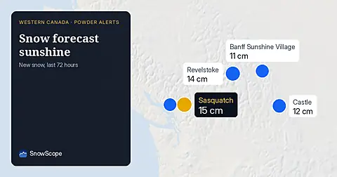
Freezing level reaches 1,500 m at Banff Sunshine Village on November 19. Fresh snow fell across Western Canada in the last 72 hours, but rain threatens the new powder.
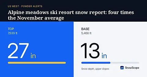
Fresh snow across the US West has built depths well above normal. At Palisades Tahoe Alpine Meadows, upper slopes hold 75 cm (measured 2026-11-18), compared to 10 cm typical for mid-November.
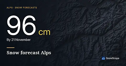
Glacier 3000 snow forecast compared with the region: 96 cm by 21 November. The snow cover shrank from 63,230 km² on 16 November to 60,480 km² today, …
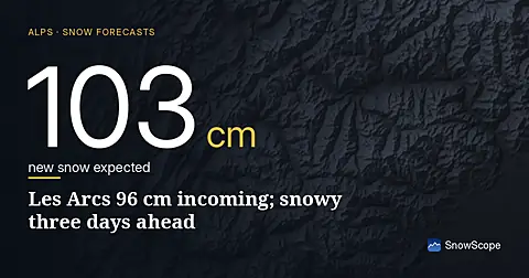
96 cm of new snow forecast for Les Arcs over the next three days, with today bringing the heaviest falls; model run November 16.
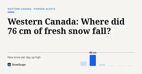
Whistler Blackcomb saw 76 cm of new snow in the last 72 hours, with Mount Cain Alpine Park also receiving 64 cm, as of November 16, 2026.
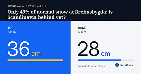
Despite 60 cm of fresh snow in 72 hours, Scandinavia's mid-November depths are well below average as of 16 November.
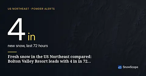
The snow has pulled back since 13 November, from 6,880 sq mi (17,820 km²) to 6,039 sq mi (15,640 km²) today; for 18 November our forecast gives …

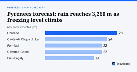
Pyrenees snow report, 15 November. Mixed rain and snow: snow is expected only up high, about 7–19 cm near the top of Cauterets Cirque du Lys …

79 cm new snow forecast for Les Grands Montets from 16–18 November, mostly above 2000 m elevation, based on forecast from 15 November.

Les Deux Alpes: how much fresh snow fell? 38 cm in 72 hours (15 November). Where did the most fresh snow fall in the Alps? La Grave got 41 cm of new …
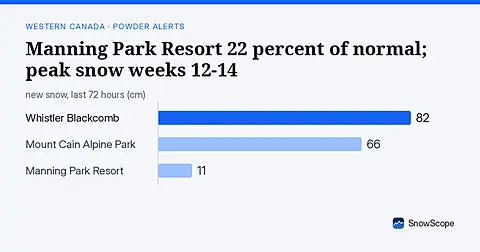
Manning Park Resort has 22 percent of normal snow on 2026-11-15, with best historical snow arriving in weeks 12-14, still months away.
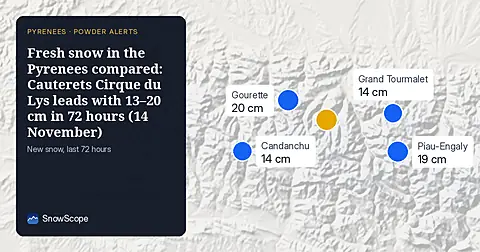
The white area on the map went from 910 km² (12 November) to 1,100 km² today, and the forecast says 640 km² on 17 November. Mixed rain and snow: snow …
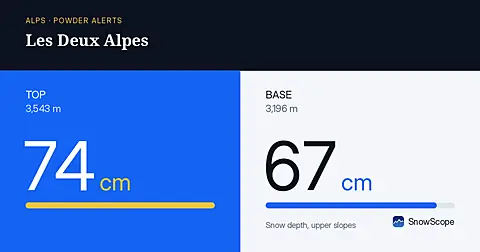
Les Deux Alpes: 38–42 cm of fresh snow in 72 hours (Alps, 14 November). La Grave got 53 cm of new snow in the last 72 hours, 7 cm of it in the last …
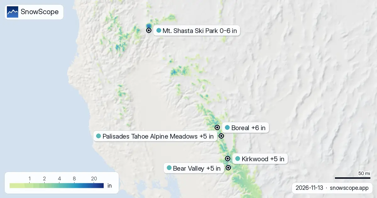
Mt. Shasta Ski Park's upper slopes hold 20 cm (2026-11-13), but the base is bare with rain below 2020 m. Next: 32 cm forecast.
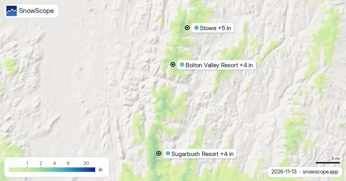
Between now and 16 November we expect 5 in (12 cm) at Stowe, 4 in (11 cm) at Bolton Valley Resort and 4 in (10 cm) at Sugarbush Resort. Remember that …
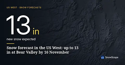
The snow is not done yet: we expect 13 in (34 cm) at Bear Valley, 13 in (34 cm) at Dodge Ridge and 13 in (33 cm) at Badger Pass by 16 November. A …
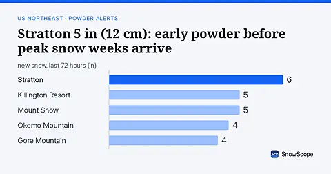
Stratton has 5 in (12 cm) on 2026-11-13 after 72 hours of snow. 28 Northeast resorts now have cover. Small amounts continue; best powder weeks arrive much later.
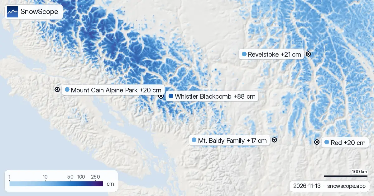
Revelstoke snow forecast: up to 10–21 cm expected by 16 November (Western Canada). At Whistler Blackcomb, the freezing level reaches 1,500 m to …
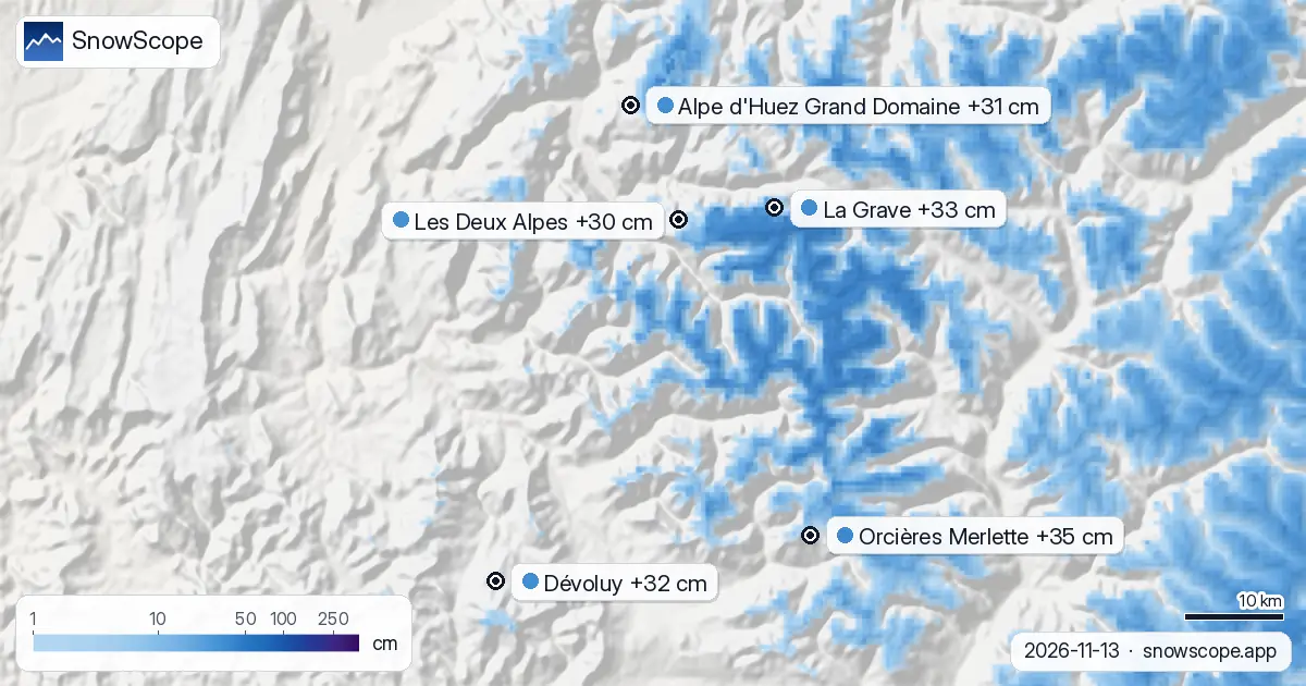
Dévoluy snow outlook: in line for 24–32 cm by 16 November (Alps). The next few days look decidedly unsettled in the Alps, with the heaviest snow …
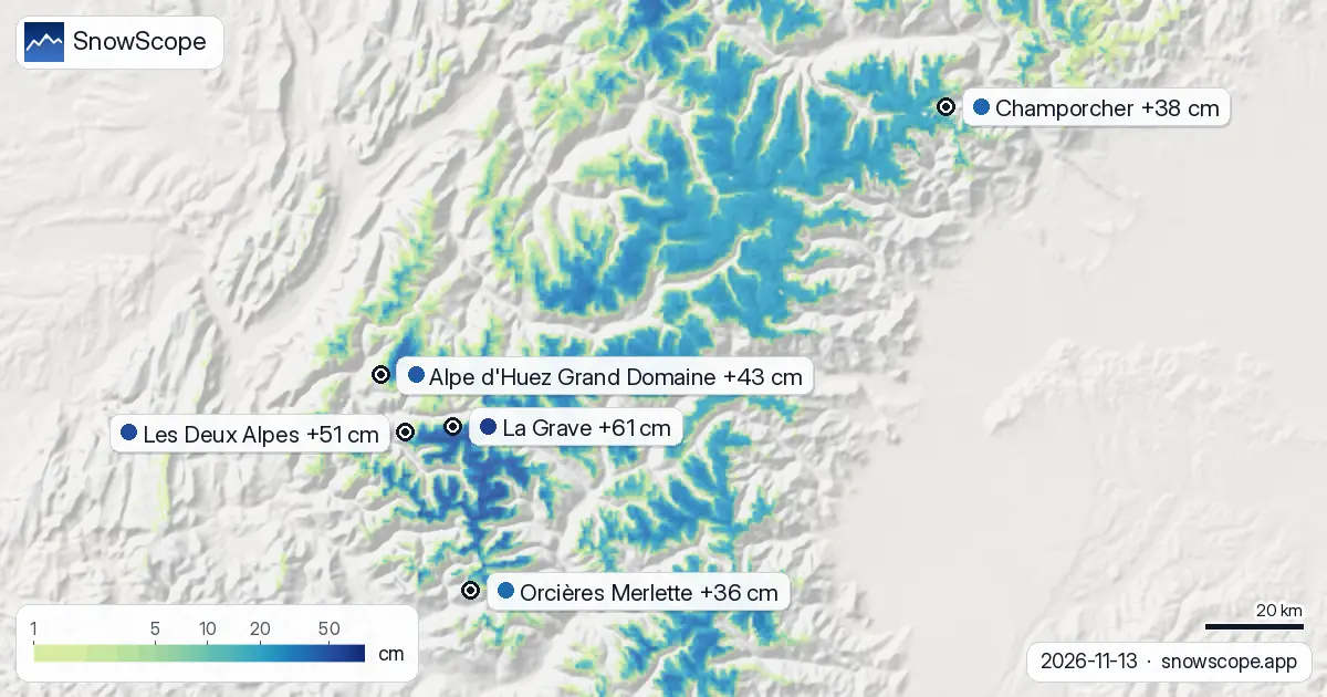
La Grave leads the Alps with 78 centimetres and 61 centimetres of fresh snow in 72 hours, as 33 centimetres more is forecast.
Kirkwood snow outlook: in line for 16 in by 15 November (US West). The next few days look decidedly unsettled in the US West, with the heaviest snow …
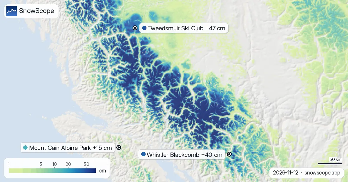
Mount Cain Alpine Park fresh snow compared with the region: 15 cm in 72 hours (12 November). The snow cover shrank from 281,250 km² on 10 November to …
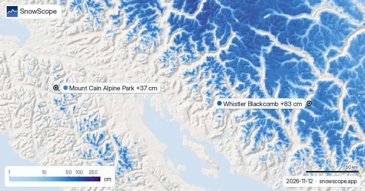
Mount Cain Alpine Park: how much snow is coming? 37 cm by 15 November. How much snow is coming in Western Canada, and where? Until 15 November, our …
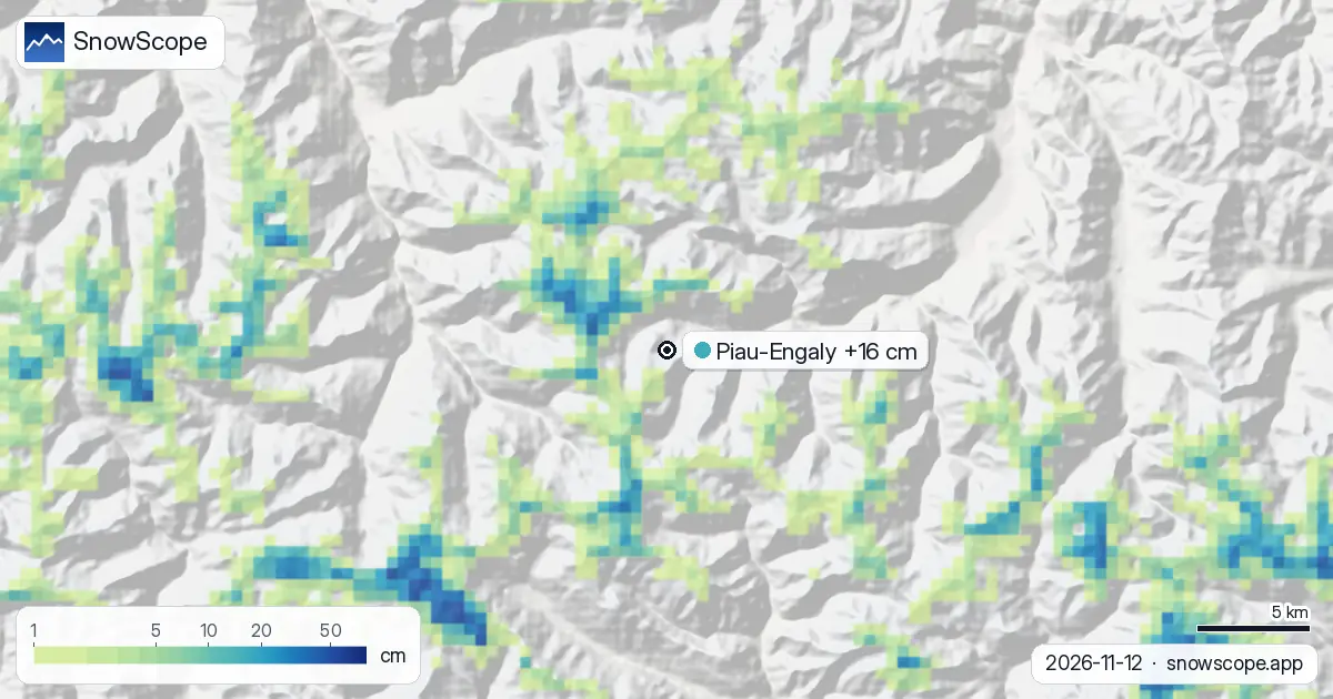
Piau-Engaly on 12 November: freezing level at 3060 m brings rain risk despite 16 cm of fresh snow in 72 hours.
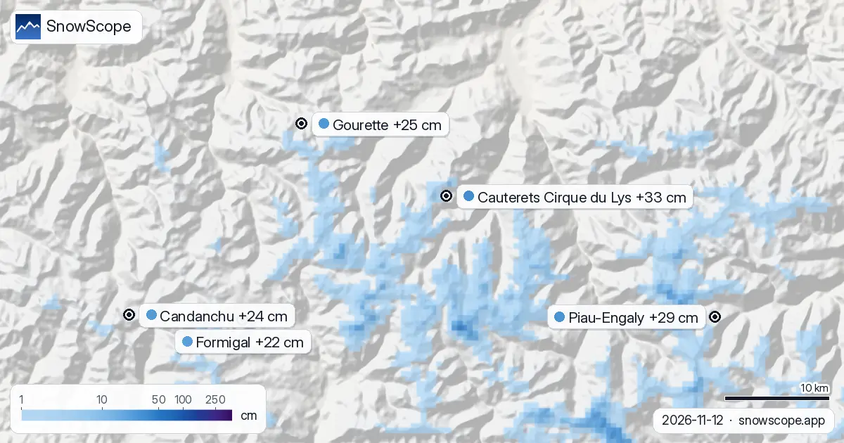
Pyrenees snow report, 12 November. Looking ahead to 15 November, the forecast brings 33 cm at Cauterets Cirque du Lys, 29 cm at Piau-Engaly and 25 cm …
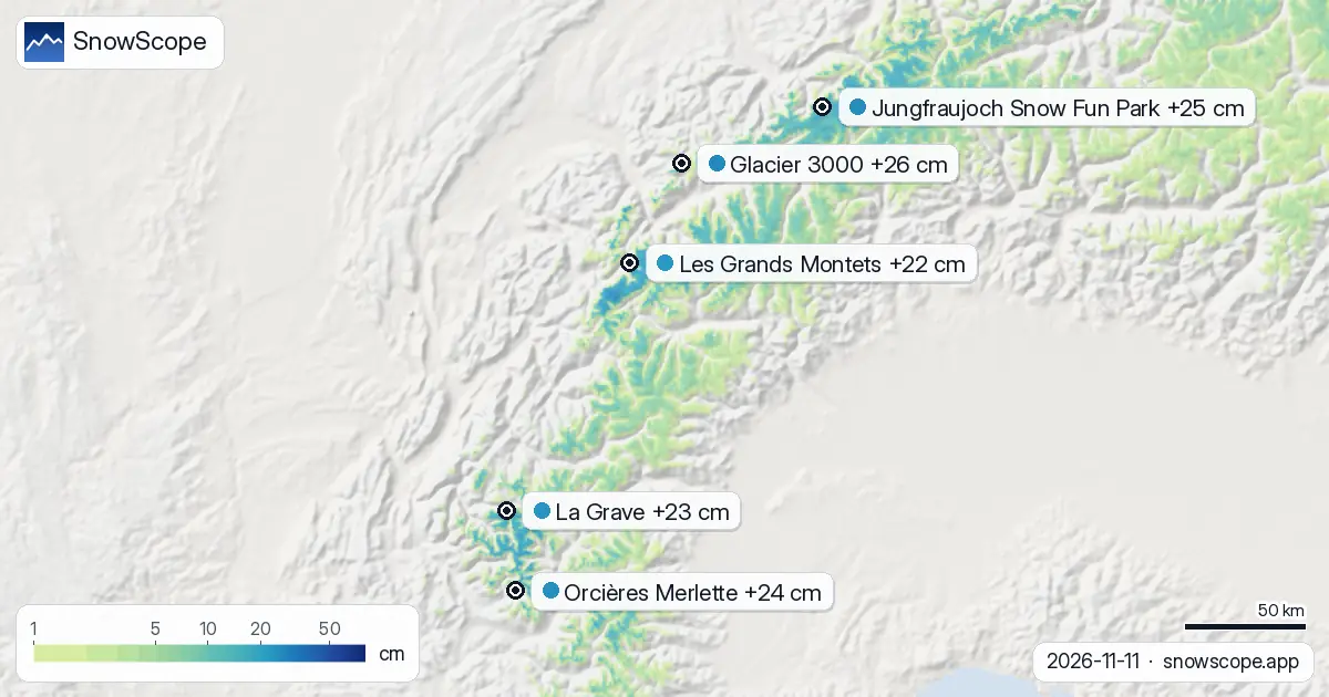
Snow-covered area: 45,820 km² on 9 November, 38,440 km² today, 46,730 km² forecast for 14 November. The map is getting less white. Glacier 3000: …
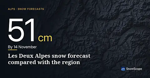
Les Deux Alpes snow forecast compared with the region: 51 cm by 14 November. The snow cover shrank from 45,820 km² on 9 November to 38,440 km² today, …
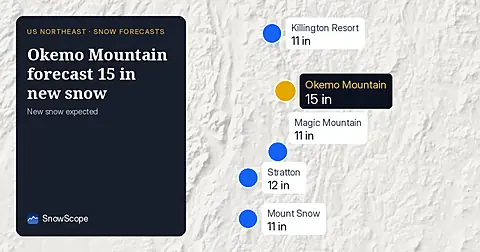
Okemo Mountain will get 15 in (38 cm) of new snow by November 14, with 11 in (29 cm) on November 13, our snow model from November 11 shows.
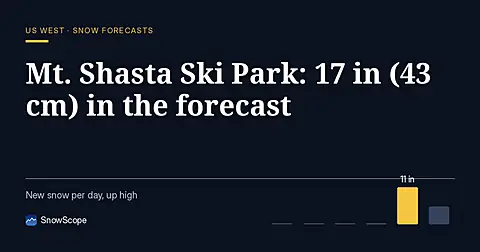
Mt. Shasta Ski Park is forecast to receive 17 in (43 cm) of new snow through November 14, with the most at high elevations (model run November 11).
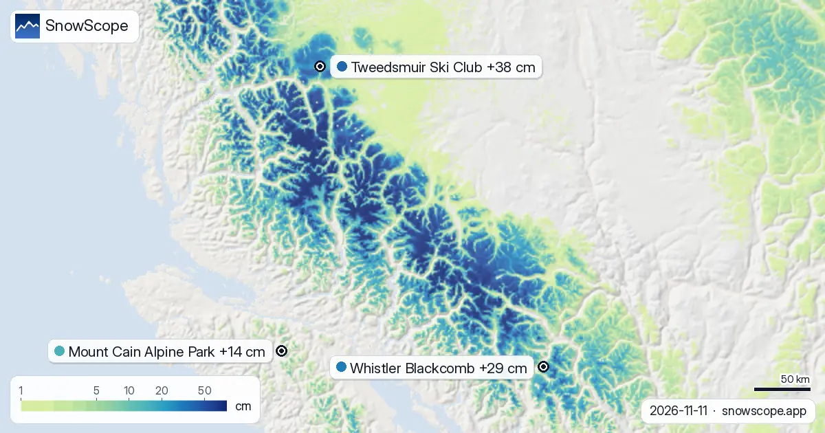
Freezing level climbs to 1870 m on November 13, bringing rain above Tweedsmuir's 1650 m peak. Fresh powder arrived overnight. Data from November 11.

Northeast forecast made 10 November: 10 in (25 cm) of new snow arriving through 13 November will transform snow cover from 1 resort to 62.

Piau-Engaly leads the forecast with 37 cm of new snow by 13 November; 24 cm is expected on 12 November.
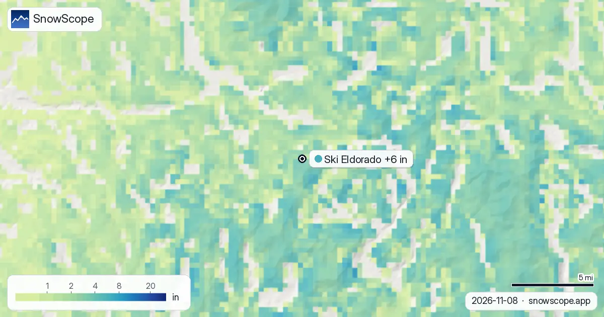
More ground is white now: 0 sq mi (0 km²) on 6 November, 788 sq mi (2,040 km²) today, and 104 sq mi (270 km²) expected on 11 November. Ski Eldorado …
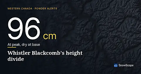
Whistler Blackcomb received 100 cm of fresh snow in 72 hours to 8 November, but it fell unevenly: 96 cm at the summit, none at the base.
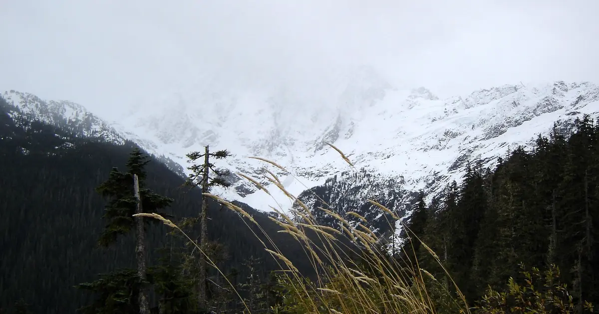
Mt Baker's mid-slopes match the historical snow depth for this date, with fresh powder concentrated in the northern Cascades and Colorado high country.
More snow is on the way: by 10 November our forecast gives 103 cm at Whistler Blackcomb, 99 cm at Ski Callaghan and 74 cm at Mount Cain Alpine Park. …
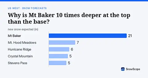
Mt Baker: 8 in (21 cm) at the summit versus less than 1 in (2 cm) at the base. November forecast shows how this height gap will shift.
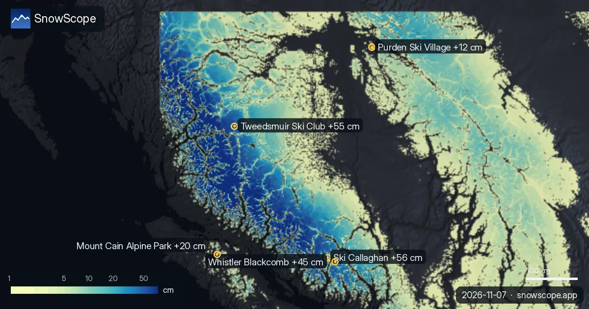
Fresh powder arrives across Western Canada; Whistler leads at 85 cm with 100+ cm forecast ahead, though peak weeks are 12-14 (late March-April).

Orcières Merlette leads the Alps forecast with 36 cm of new snow in the next three days, mostly on November 9–10, based on data from November 7.

Artesina got 44 cm of new snow in the last 72 hours. It now has about 20 cm on its upper slopes, according to our snow model.
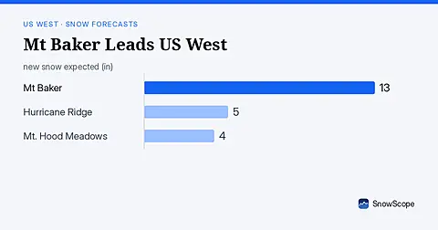
Mt Baker leads the US West with 19 in (47 cm) of upper snow, expecting 13 in (33 cm) through November 9. Model forecast from November 6.
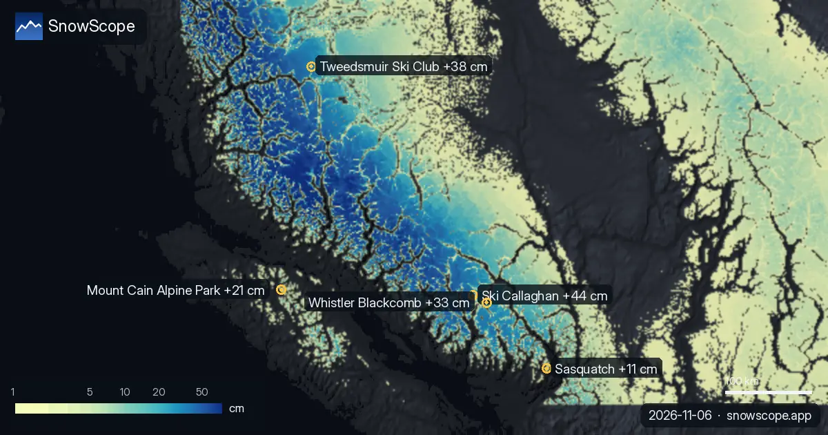
Freezing level forecast to 2140 m on 7 November brings rain to upper slopes at Ski Callaghan in Western Canada, despite fresh powder this week.

Mt Baker got 11 in (27 cm) of new snow in the last 72 hours, 4 in (11 cm) of it in the last 24 hours. It now has about 19 in (47 cm) on its upper …
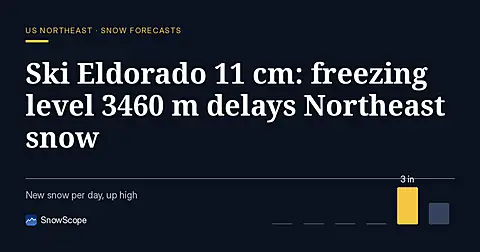
Ski Eldorado forecast 11 cm of new snow but freezing level reaches 3460 m on Nov 6, delaying snow arrival across the Northeast.
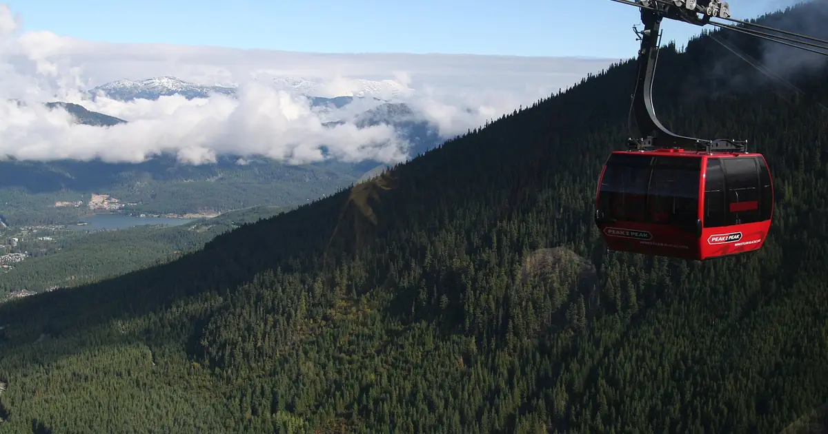
More snow is on the way: by 9 November our forecast gives 74 cm at Whistler Blackcomb, 63 cm at Ski Callaghan and 50 cm at Mount Cain Alpine Park. …
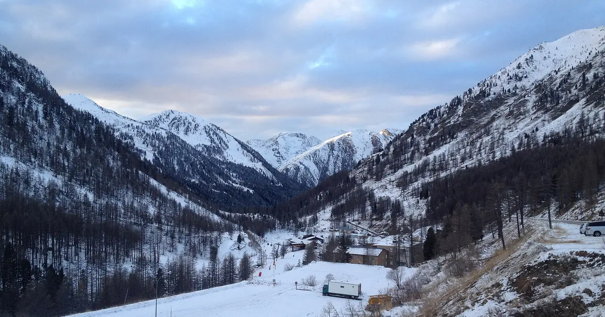
Isola 2000 got 62 cm of new snow in the last 72 hours, 7 cm of it in the last 24 hours. It now has about 19 cm on its upper slopes, according to our …
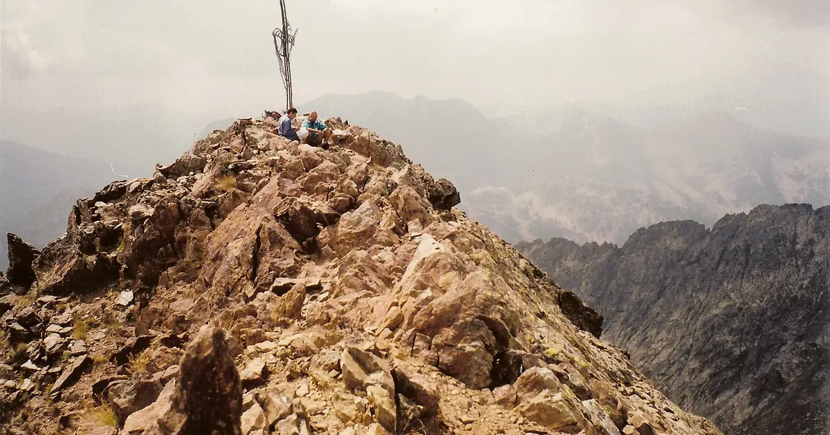
58 centimetres of fresh snow fell across the southern Alps in 72 hours; best powder weeks peak in February, data from 5 November.

Until 8 November, our forecast gives 21 cm at Saas Grund, 18 cm at Grindelwald and 18 cm at Pescegallo. Keep in mind: resort values come from our …
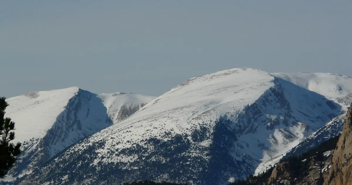
Rasos de Peguera got 15 cm of new snow in the last 72 hours. It now has about 20 cm on its upper slopes, according to our snow model.
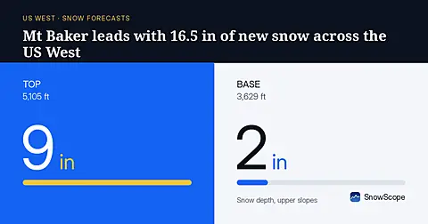
Mt Baker will receive 16.5 in (42 cm) of new snow through November 8, leading the US West, based on our model run on November 5.
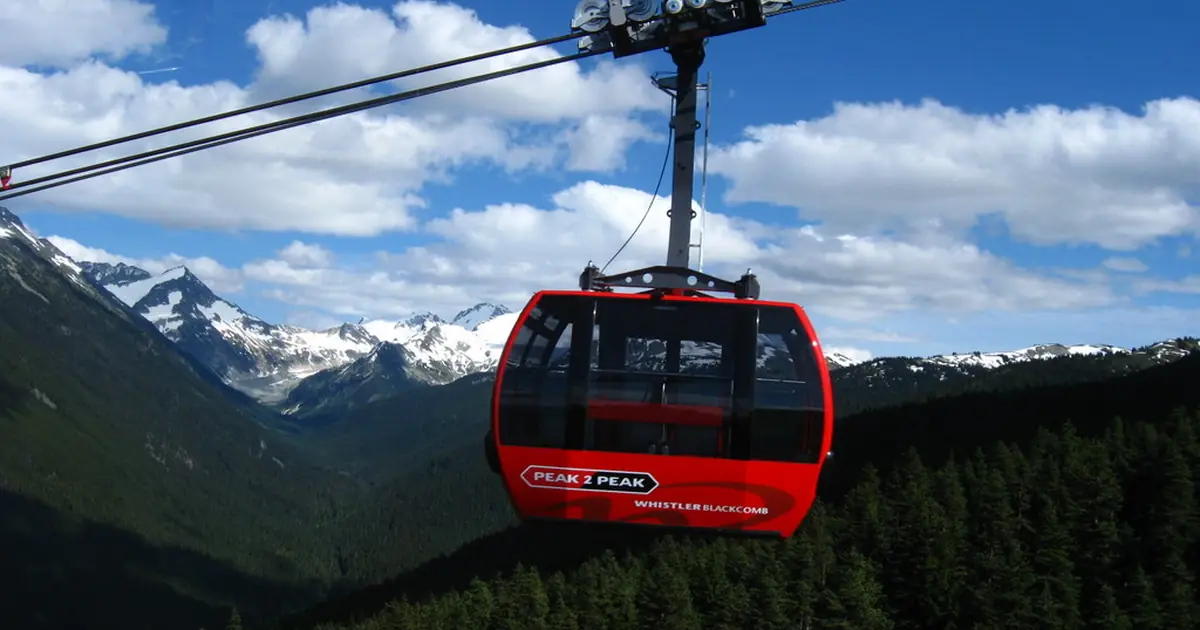
More snow is on the way: by 8 November our forecast gives 94 cm at Whistler Blackcomb, 93 cm at Ski Callaghan and 70 cm at Tweedsmuir Ski Club. Keep …
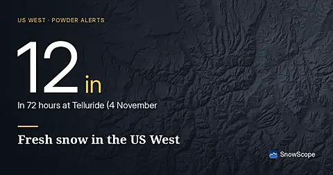
Telluride got 12 in (31 cm) of new snow in the last 72 hours, 1 in (3 cm) of it in the last 24 hours. It now has about 46 in (118 cm) on its upper …
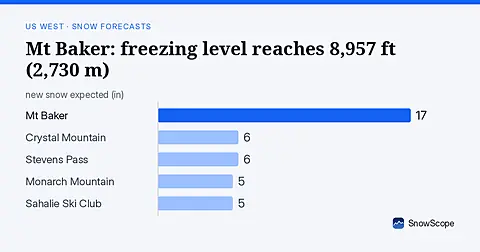
Rain will replace snow at Mt Baker on November 6, as the freezing level climbs to 8,957 ft (2,730 m), far above the ski area.
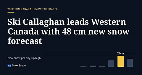
Ski Callaghan leads Western Canada forecast with 48 cm new snow through 7 November, mostly on 6th, with higher elevations capturing deeper accumulation.
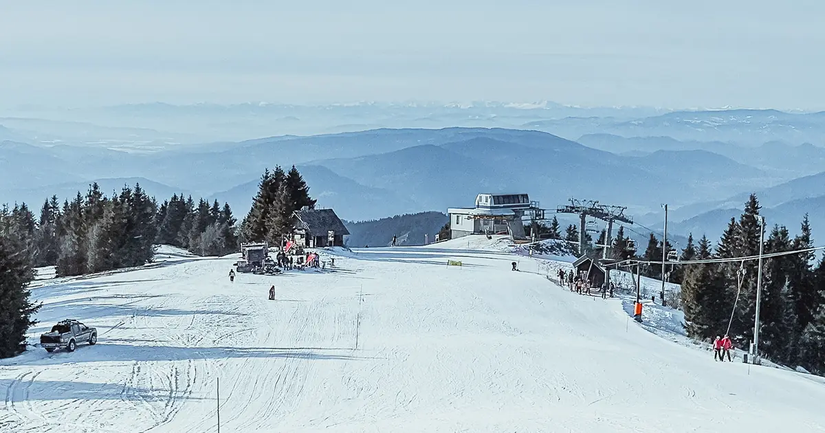
The freezing level reaches 2980 m on November 6, bringing rain to consolidate 21 cm of recent snow at Kope (data from November 3).
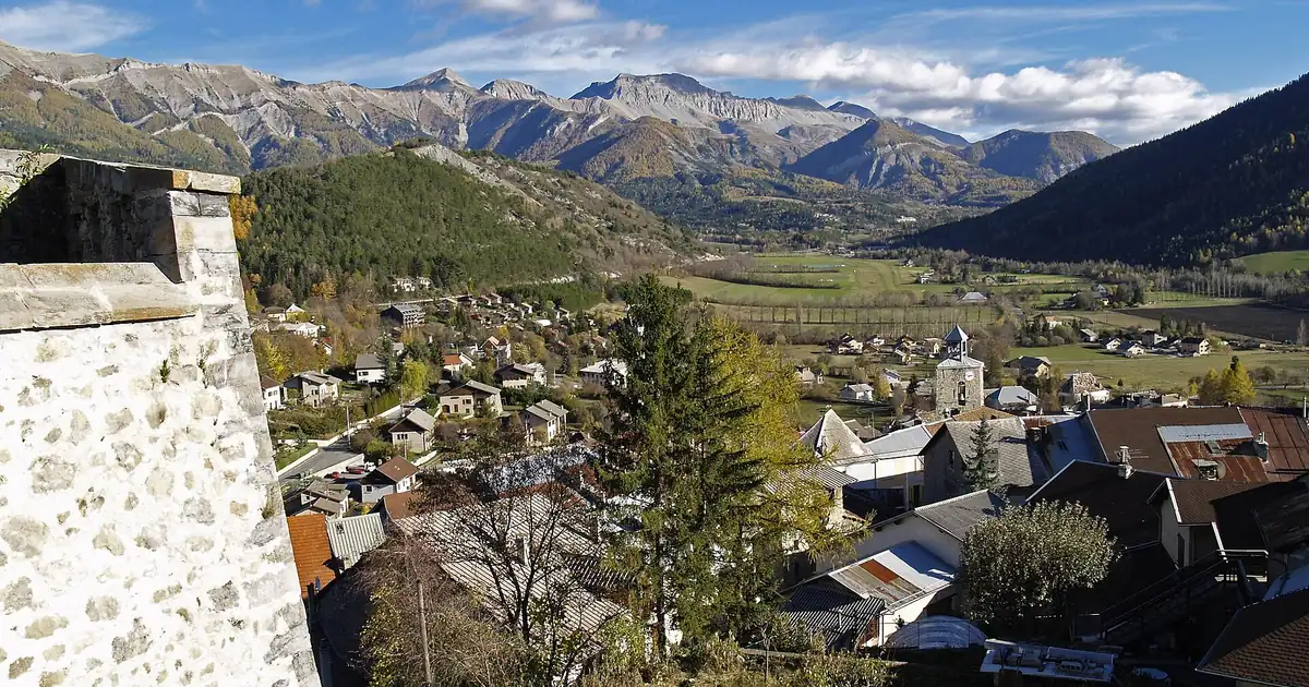
More snow is on the way: by 6 November our forecast gives 37 cm at Chabanon, 34 cm at Dévoluy and 33 cm at Chaillol. Resort numbers are model …
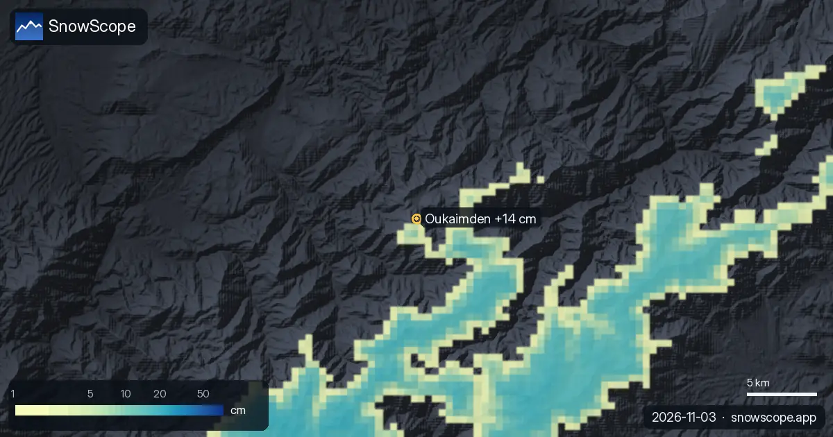
Oukaimden got 14 cm of new snow in the last 72 hours, 5 cm of it in the last 24 hours. It now has about 3 cm on its upper slopes, according to our …
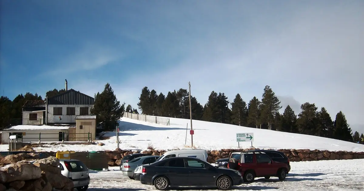
Rasos de Peguera got 17 cm of new snow in the last 72 hours, 17 cm of it in the last 24 hours. It now has about 13 cm on its upper slopes, according …
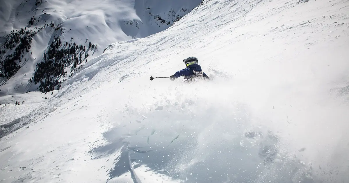
Silverton Mountain's 92 cm—deeper than all 46 past Novembers—arrived in just 72 hours; measured November 1st, 2026.
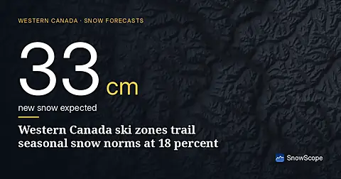
Western Canada's ski resorts hold snow at 18 percent of early-season norms as of November 3, with Mount Cain leading and lower elevations lagging far behind.
