 SnowScope
Sölden next week: light snow only, 13 cm up high (snow forecast 23–29 November 2026)
Sölden gets a small share of next week's snow: 13 cm at around 3100 m in the middle of our forecast, 12 cm at mid-mountain and 8 cm down at 1400 m. The best of it should come on Thursday 26 November.
See the live snow forecast for Sölden in the SnowScope appSnow depth, powder alerts and the 3D map, free.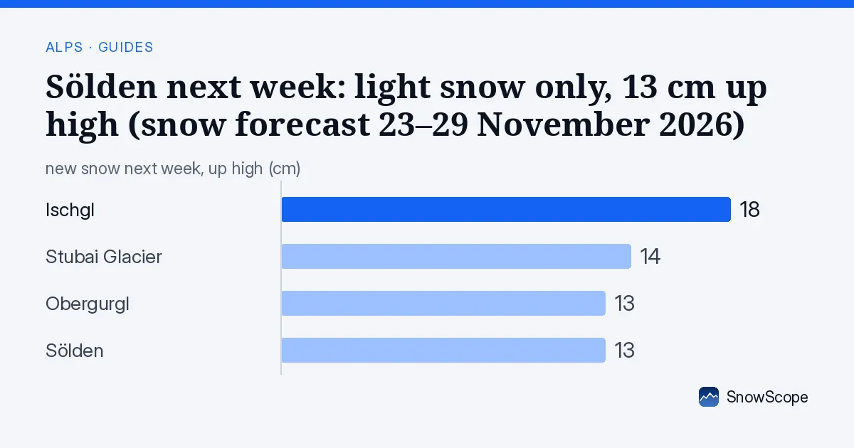
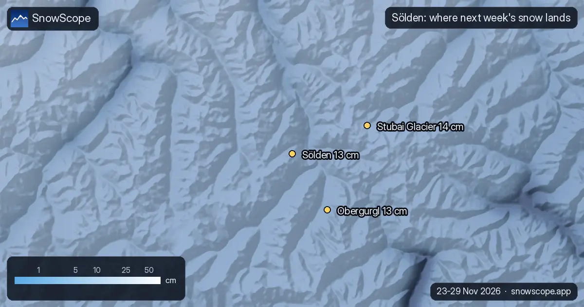
What falls where on the Sölden slopes
Our forecast splits Sölden's week like this: upper slopes 13 cm (low 2, high 24), middle of the mountain 12 cm, lower runs 8 cm (low 1, high 15).
Most of the total arrives on Thursday 26 (5 cm, up to 9), counted at the top as the middle of our forecast and the high case.
First, this week's snow
Little lands in Sölden before the weekend: 10 cm at the top from Tuesday 17 to Friday 20 November. Most of what the resort gets this fortnight comes in the second week.
Down at the base
Half-and-half at the bottom: 8 cm near 1400 m is a fair amount, but well short of the top's 13 cm. Mild spells will turn the lowest runs heavy and sticky.
Sölden opens on its glaciers in autumn, so it is often the first big Austrian area to ski.
Where the good snow will be
The snowiest day up top is Thursday 26 November, with 5 cm in the middle of our forecast (up to 9 cm). That is a fresh coat on the groomers, nothing more.
Go high: depth is safest on the Rettenbach and Tiefenbach glaciers, and the best skiing should be on the two glaciers and the Gaislachkogl's upper slopes. Treat the village in the Ötztal valley as the weak point.
Next door, the same week
For comparison, the upper slopes of the closest big resorts collect Obergurgl (10 km away) 13 cm, Stubai Glacier (12 km away) 14 cm and Ischgl (49 km away) 18 cm; Sölden sits at 13 cm.
Nothing to separate them on snow alone; the choice comes down to the terrain you want.
The range, not just the number
Treat this one with caution: 2 cm at the low end, 24 cm at the high end. A spread that wide a week out means the storm may still slide away from Sölden or sit right over it.
Storm timing tends to firm up first; totals keep moving until a day or two before.
Tips for skiers
- Off the groomed runs, new snow means new avalanche risk: the regional avalanche service of the province is the reference.
- Check the resort's own opening date and lift status: snow on the mountain does not mean lifts are running.
- With 13 cm at the top, this is not a week to chase powder in Sölden.
More maps (external sites)
About these numbers
Snow numbers: our two-week snow forecast issued on 16 November 2026, read at three heights of the resort (top, mid-mountain, base). Each total is the middle of a range, with a low and a high case. These are estimates for the slopes, not resort measurements, and forecasts move from day to day: check the live map before you go.
Cite this report
For research, teaching or the press: the numbers and charts are free to reuse under CC BY 4.0 with this citation.
SnowScope (2026), Sölden next week: light snow only, 13 cm up high (snow forecast 23–29 November 2026), https://snowscope.app/blog/en/2026/11/soelden-snow-forecast-next-week-23-29-november-2026.html, accessed 2026-11-16
SnowScope (Atlas Labs). (2026, November 16). Sölden next week: light snow only, 13 cm up high (snow forecast 23–29 November 2026). SnowScope snow reports. https://snowscope.app/blog/en/2026/11/soelden-snow-forecast-next-week-23-29-november-2026.html
BibTeX
@misc{snowscope2026soeldensnowforecastnextw,
  author       = {{SnowScope (Atlas Labs)}},
  title        = {Sölden next week: light snow only, 13 cm up high (snow forecast 23–29 November 2026)},
  year         = {2026},
  month        = nov,
  howpublished = {\url{https://snowscope.app/blog/en/2026/11/soelden-snow-forecast-next-week-23-29-november-2026.html}},
  note         = {Published 2026-11-16 11:41 UTC; accessed 2026-11-16}
}· CC BY 4.0 · Methods, data and tools →
Sölden: snow and temperature by height, this winter vs last (tools) →
Follow Sölden
Free: a message when fresh snow is coming, and the forecast every morning.

More snow reports
Obertauern December skiing: 43 cm on a typical 15 December at mid-mountain, and a 6-day pass of EUR 331 before Christmas. Snow history and prices.
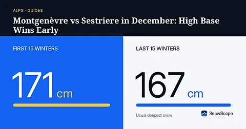
Montgenèvre has 56 cm of usual December snow at its base, giving weekend drivers deeper early cover than Sestriere across the border.
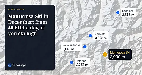
Monterosa Ski day passes run from 40.00 to 71.00 EUR online. In December the snow is up high: 124 cm usual at 3030 m, 6 cm at 1207 m.