 SnowScope
Snow forecast in the US West: up to 17 in at Mt Baker by 7 November
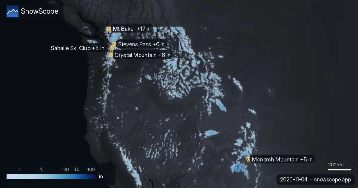
Until 7 November, our forecast gives 17 in (44 cm) at Mt Baker, 6 in (14 cm) at Crystal Mountain and 6 in (14 cm) at Stevens Pass. Resort numbers are model estimates for the upper slopes; station numbers are measurements at one point, on the date shown.
What is coming next
Until 7 November, our forecast gives 5 in (13 cm) at Monarch Mountain and 5 in (13 cm) at Sahalie Ski Club.
The snow cover shrank from 111,618 sq mi (289,090 km²) on 2 November to 86,498 sq mi (224,030 km²) today, and our forecast gives 68,919 sq mi (178,500 km²) on 7 November.
| Resort | Snow depth | New snow, 72 h | Coming, next days | Top |
|---|---|---|---|---|
| Mt Baker | 14 in (36 cm) | 0 in (0 cm) | 17 in (44 cm) | 5,105 ft (1,556 m) |
| Crystal Mountain | 8 in (21 cm) | 0 in (0 cm) | 6 in (14 cm) | 6,798 ft (2,072 m) |
| Stevens Pass | 9 in (23 cm) | 0 in (0 cm) | 6 in (14 cm) | 5,666 ft (1,727 m) |
| Monarch Mountain | 7 in (19 cm) | 4 in (9 cm) | 5 in (13 cm) | 11,804 ft (3,598 m) |
| Sahalie Ski Club | 7 in (19 cm) | 0 in (0 cm) | 5 in (13 cm) | 3,064 ft (934 m) |
Which height to ski
At Mt Baker, the freezing level reaches 4,232 ft (1,290 m) to 8,957 ft (2,730 m) on 6 November, above the top of the resort (5,105 ft / 1,556 m): rain or wet snow is possible on every slope that day.
At Crystal Mountain, the freezing level reaches 7,152 ft (2,180 m) to 10,696 ft (3,260 m) on 6 November, above the top of the resort (6,798 ft / 2,072 m): rain or wet snow is possible on every slope that day.
At Stevens Pass, the freezing level reaches 8,071 ft (2,460 m) to 9,777 ft (2,980 m) on 7 November, above the top of the resort (5,666 ft / 1,727 m): rain or wet snow is possible on every slope that day.
Height matters: at Mt Baker, our model gives 7 in (19 cm) at the top (5,105 ft / 1,556 m), 5 in (12 cm) at mid-mountain (4,367 ft / 1,331 m) and 3 in (7 cm) at the base (3,629 ft / 1,106 m).
Today's snow
Of these resorts, Mt Baker has the most snow on its upper slopes today, about 14 in (36 cm); then come Stevens Pass 9 in (23 cm) and Crystal Mountain 8 in (21 cm).
Our snow model shows 86,498 sq mi (224,030 km²) of snow-covered ground in the US West today, with snow at 149 of 195 resorts.
Safety and avalanche level
Forecasts a few days ahead can change: look at the map again the day before you travel.
Tips for skiers
- Forecasts a few days ahead can change: look at the map again the day before you travel.
- Where the freezing level goes above the resort, plan for wet snow and use the highest lifts.
- Fresh snow is best in the first hours after it stops: go early, before the sun and the crowds.
- Before you ski off-piste or go touring, read the official avalanche bulletin (links below).
- Get a powder alert in the SnowScope app to know when Mt Baker gets fresh snow.
About these numbers
Resort snow depths are the deepest snow on the resort's upper slopes from the SnowScope snow model (about 1 km, run of 4 November); they are estimates for an area, not a measurement at one point. Station values are measurements on the date shown. Forecasts can change. Always read the official avalanche bulletin before going off-piste.
Official avalanche bulletins: avalanche.org

More snow reports
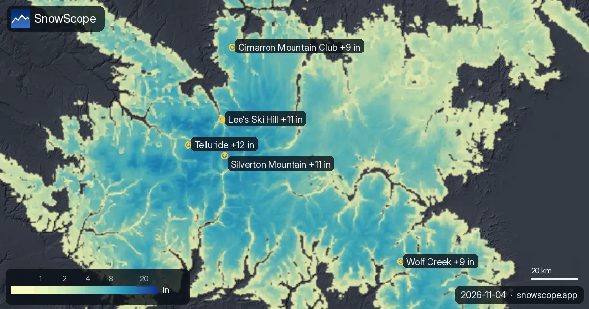
Telluride got 12 in (31 cm) of new snow in the last 72 hours, 1 in (3 cm) of it in the last 24 hours. It now has about 46 in (118 cm) on its upper …
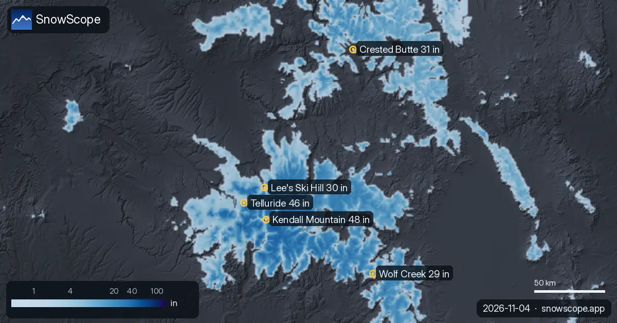
The most snow in the US West is at Kendall Mountain: about 48 in (122 cm) on the upper slopes, according to our snow model. Next come Telluride with …
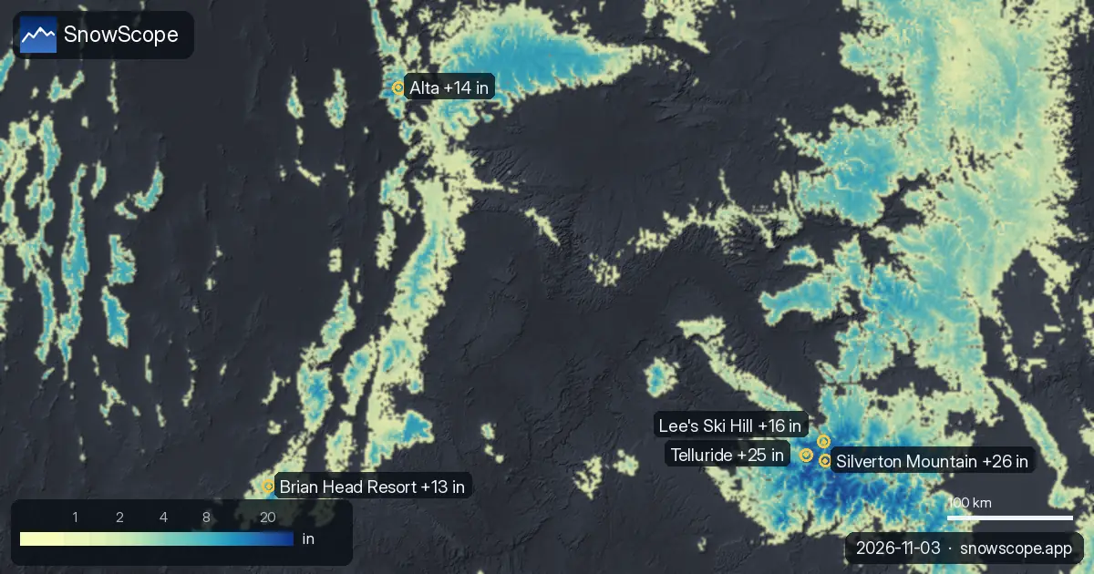
Silverton Mountain got 26 in (66 cm) of new snow in the last 72 hours. It now has about 52 in (131 cm) on its upper slopes, according to our snow model.