 SnowScope
Atlas snow maps to 26 November: little new snow in the next two weeks
Here are the new maps of the next two weeks in the Atlas (Morocco), 13 November to 26 November: the new snow expected on the terrain, read from the two global models that reach two weeks, ECMWF and GFS (middle value, with the range of the two). It is a quiet picture: no resort we follow gets more than about 0 cm on its upper slopes, and Habri is the one that gets it (0 cm–0 cm between the models). On the ground, the first thing we check is the shade: snow lasts where the sun cannot reach it.
See the live snow forecast for Habri in the SnowScope appSnow depth, powder alerts and the 3D map, free.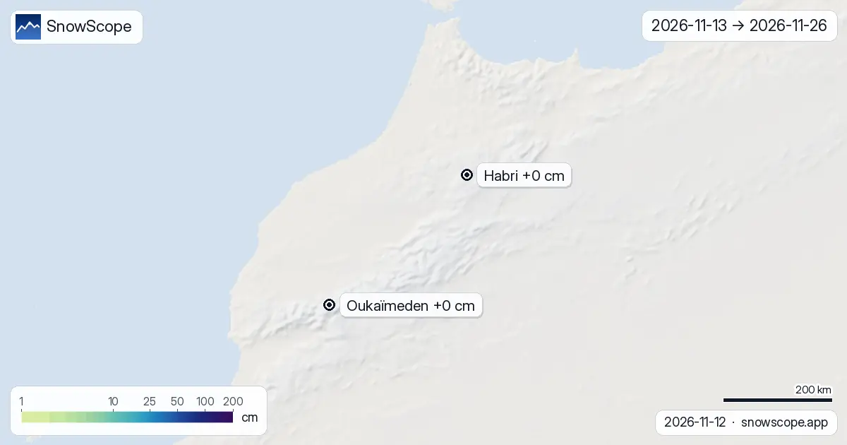
Resort by resort, the next 14 days
Habri (Morocco): almost nothing, about 0 cm in the whole fortnight.
Oukaïmeden (Morocco) stays dry: 0 cm at most over the two weeks.
| Resort | Snow depth | New snow, 72 h | Coming, next days | Top |
|---|---|---|---|---|
| Habri | 0 cm | 0 cm | 0 cm | 2,108 m |
| Oukaïmeden | 0 cm | 0 cm | 0 cm | 3,258 m |
First week against second week
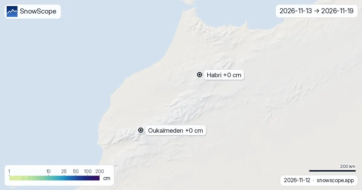
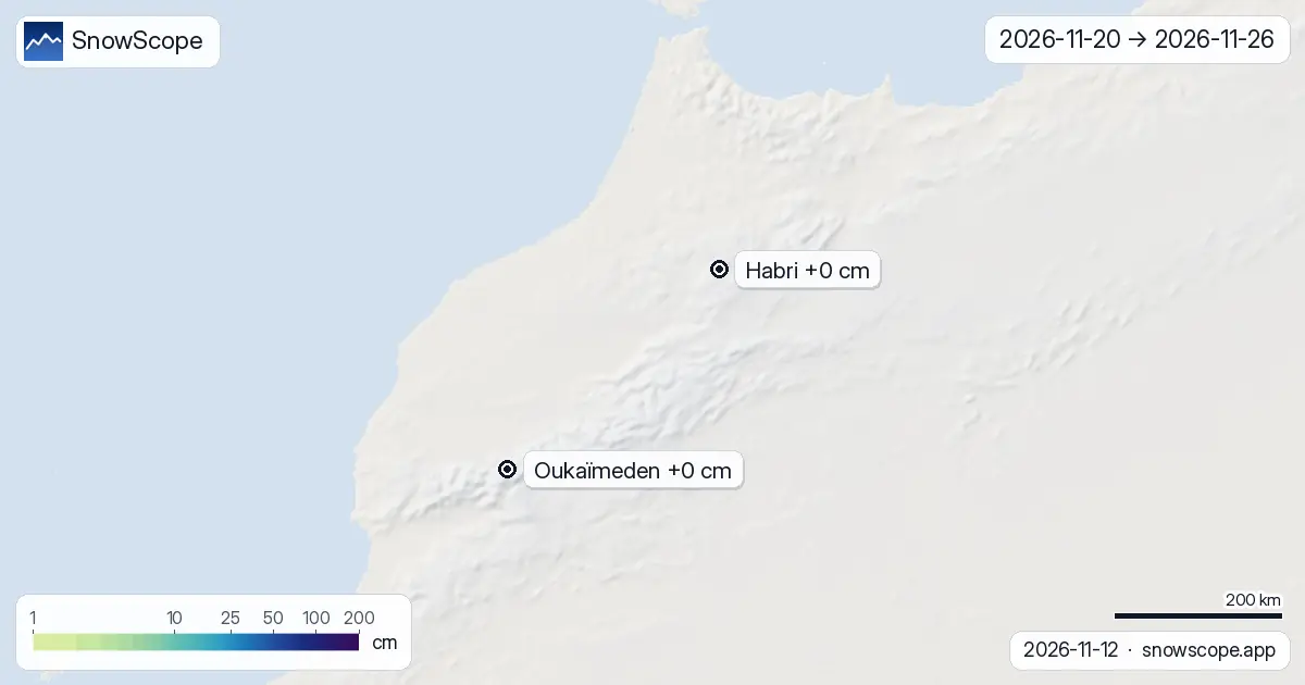
Split by week, the first one (13 November to 19 November) carries 11 % of the two weeks' snow across the region; the second (20 November to 26 November) carries the rest.
New snow by height
Height decides most of it. Across the region's mountains, the two weeks give: between 1,000 m and 1,500 m: next to nothing; between 1,500 m and 2,000 m: next to nothing; between 2,000 m and 2,500 m: next to nothing; between 2,500 m and 3,000 m: next to nothing; between 3,000 m and 4,500 m: next to nothing.
The days to watch
No day stands out: on none of the 14 days do several of the 3 resorts we follow get 5 cm or more.
How to read the maps
How to read them: one map for the two weeks together, one per week. The lighter the green, the less new snow; the deep blues and purples mark the big totals. Each pin shows the resort's upper slopes.
Treat the second week as a direction of travel. When the two models agree, the range is narrow; when it is wide, wait for the next maps before you book. New maps come out every morning.
Tips for skiers
- Plan the first week with these maps; keep the second week loose and check again in a few days.
- The 0 °C level is a forecast and can move by several hundred metres, which changes where rain turns to snow: check the map again the day before you go.
- Before any off-piste or touring day, read the official avalanche bulletin (links below).
- Snow on the map does not mean a resort is open: check lifts and dates on the resort's website.
About these numbers
Resort snow depths are the deepest snow on the resort's upper slopes from the SnowScope snow model (about 1 km, run of 12 November); they are estimates for an area, not a measurement at one point. Station values are measurements on the date shown. Forecasts can change. Always read the official avalanche bulletin before going off-piste.
Cite this report
For research, teaching or the press: the numbers and charts are free to reuse under CC BY 4.0 with this citation.
SnowScope (2026), Atlas snow maps to 26 November: little new snow in the next two weeks, https://snowscope.app/blog/en/2026/11/atlas-morocco-2-week-snow-forecast-maps-12-november-2026.html, accessed 2026-11-12
SnowScope (Atlas Labs). (2026, November 12). Atlas snow maps to 26 November: little new snow in the next two weeks. SnowScope snow reports. https://snowscope.app/blog/en/2026/11/atlas-morocco-2-week-snow-forecast-maps-12-november-2026.html
BibTeX
@misc{snowscope2026atlasmorocco2weeksnowfor,
  author       = {{SnowScope (Atlas Labs)}},
  title        = {Atlas snow maps to 26 November: little new snow in the next two weeks},
  year         = {2026},
  month        = nov,
  howpublished = {\url{https://snowscope.app/blog/en/2026/11/atlas-morocco-2-week-snow-forecast-maps-12-november-2026.html}},
  note         = {Published 2026-11-12 18:20 UTC; accessed 2026-11-12}
}· CC BY 4.0 · Methods, data and tools →
Habri: snow and temperature by height, this winter vs last (tools) →
Follow Habri
Free: a message when fresh snow is coming, and the forecast every morning.

More snow reports
About 65 mm on Toubkal by 12 November, but the 0 °C level stays near 4,000 m: rain at Oukaïmeden and in the valleys, snow only on the top.

Western Canada mountains carry 42% of their normal snow for mid-November as of 12 November, but 142 cm is forecast over the next two weeks.

Fewer snow days at all 120 points we studied in the Pyrenees since 1980-81, most below 1,500 m: our 46-winter record and the research behind it.