 SnowScope
How to get to Telluride: two airports, one mountain road and a free gondola
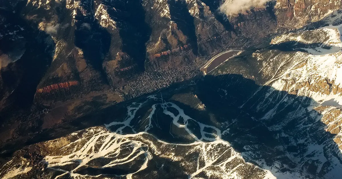
Telluride sits at the end of a box canyon in the San Juan Mountains, at 8,754 ft (2,668 m). That is part of its charm and the reason access needs a plan. There are two realistic airports, one main road and, at the end, a free gondola that does the last climb for you. Here they are one by one.
See the live snow forecast for Telluride Ski Area in the SnowScope appSnow depth, powder alerts and the 3D map, free.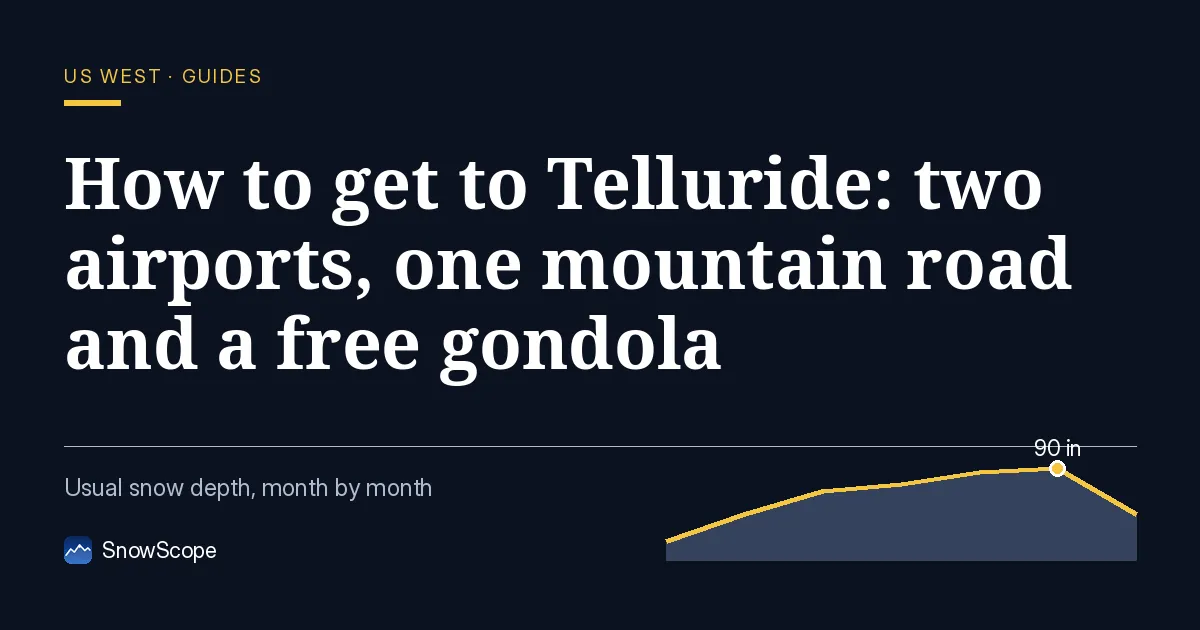
Option 1: Telluride Regional Airport (TEX)
The closest airport is on a mesa about 6 miles (9.7 km) west of town, at 9,078 ft (2,767 m), with a 1,000 ft (300 m) drop to the San Miguel River below the runway. Scheduled flights are run by Denver Air Connection to Denver and Phoenix. It is the fastest way in, but also the most exposed to the weather: in the past, about 20 % of the winter commuter flights had to divert to other airports. If you fly here, have a plan B through Montrose.
Option 2: Montrose Regional Airport (MTJ)
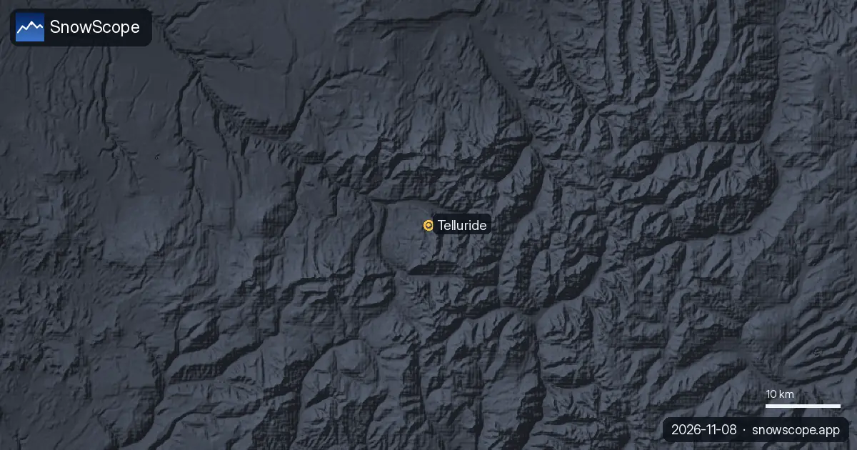
Most visitors land in Montrose, at 5,759 ft (1,755 m), which is busiest in winter precisely because of the skiers heading to Telluride. United, Southwest, American and Delta fly there, with year-round links to Denver and seasonal flights to hubs such as Chicago, Dallas/Fort Worth, Houston and Newark. Telluride is 67 miles (108 km) away, about an hour and a half by road. Shuttles and rental cars both work; on a storm day the drive takes longer.
Option 3: drive in on Highway 145
State Highway 145, part of the San Juan Skyway, is the main road into town. Colorado's traction law applies on state highways during winter storms or when conditions require: tyres with at least 3/16 inch of tread rated all-weather or winter (M+S, M/S or the mountain-snowflake symbol), or chains. Four-wheel or all-wheel drive is recommended. The fine is $100 plus a $33 surcharge, and $500 plus $157 if your car blocks a lane. Rental cars often have all-season tyres: ask before you collect the keys.
The last mile: the free gondola
Once you are in town, leave the car. The free gondola, opened on 20 December 1996, links the old town of Telluride with Mountain Village at the base of the ski area, by way of the San Sophia station at 10,540 ft (3,210 m). The ride takes about 13 minutes, and it is the only free gondola of its kind in North America. Stay in town and ride it in the morning, or stay in Mountain Village and ride it down for dinner.
Is the trip worth it? The snow
For the snow, yes, if you aim for the right height. Our model of 46 past winters gives a usual peak of about 67 in (169 cm) at mid-mountain, 10,620 ft (3,237 m), and about 106 in (268 cm) near the top, 12,507 ft (3,812 m), while the base at 8,734 ft (2,662 m) peaks at only about 31 in (80 cm). Mid-mountain keeps at least 20 in (50 cm) for 13 weeks in 9 winters out of 10. Winters change, though: last winter, 2025-26, was the thinnest of our record at mid-mountain, about 30 in (76 cm), and the median peak there fell from about 80 in (203 cm) in our first fifteen winters to about 63 in (160 cm) in the last fifteen.
Tips for skiers
- Flying into Telluride: keep Montrose as plan B for weather diversions.
- Driving: winter-rated tyres with 3/16 inch of tread or chains on Highway 145 during storms.
- In town, use the free gondola instead of the car.
- Snow on our map does not mean a resort is open: check lifts and the gondola on the official websites.
References and credits
- Wikipedia, 'Telluride, Colorado' (retrieved 8 November 2026): box canyon, town elevation, free gondola, Highway 145, Montrose distance. en.wikipedia.org/wiki/Telluride,_Colorado
- Wikipedia, 'Telluride Ski Resort' (retrieved 8 November 2026): gondola opening date. en.wikipedia.org/wiki/Telluride_Ski_Resort
- Wikipedia, 'Montrose Regional Airport' (retrieved 8 November 2026): elevation, winter ski traffic, airlines, drive time. en.wikipedia.org/wiki/Montrose_Regional_Airport
- Wikipedia, 'Telluride Regional Airport' (retrieved 8 November 2026): elevation, location, mesa, diversions, scheduled flights. en.wikipedia.org/wiki/Telluride_Regional_Airport
- Colorado Department of Transportation, Passenger Vehicle Traction Law. www.codot.gov/travel/winter-driving/tractionlaw
- Colorado Avalanche Information Center, avalanche forecasts. avalanche.state.co.us/
About these numbers
Snow numbers: SnowScope snow history, 46 past winters (1980-81 to 2025-26) at three heights of the resort, a model of the past corrected for height (an estimate for an area, not resort reports). Lift, run and access facts: the sources listed below, checked on the date shown.
Official avalanche bulletins: Colorado Avalanche Information Center
Cite this report
For research, teaching or the press: the numbers and charts are free to reuse under CC BY 4.0 with this citation.
SnowScope (2026), How to get to Telluride: two airports, one mountain road and a free gondola, https://snowscope.app/blog/en/2026/11/how-to-get-to-telluride-airports-gondola.html, accessed 2026-11-09
SnowScope (Atlas Labs). (2026, November 9). How to get to Telluride: two airports, one mountain road and a free gondola. SnowScope snow reports. https://snowscope.app/blog/en/2026/11/how-to-get-to-telluride-airports-gondola.html
BibTeX
@misc{snowscope2026howtogettotellurideairpo,
  author       = {{SnowScope (Atlas Labs)}},
  title        = {How to get to Telluride: two airports, one mountain road and a free gondola},
  year         = {2026},
  month        = nov,
  howpublished = {\url{https://snowscope.app/blog/en/2026/11/how-to-get-to-telluride-airports-gondola.html}},
  note         = {Published 2026-11-09 19:32 UTC; accessed 2026-11-09}
}· CC BY 4.0 · Methods, data and tools →
Telluride Ski Area: snow and temperature by height, this winter vs last (tools) →
Follow Telluride Ski Area
Free: a message when fresh snow is coming, and the forecast every morning.

More snow reports
Alpental snow forecast for 13 November 2026: about 1 in on the upper mountain, rain almost to the summit this weekend with a snow level near 5,400 to 5,600 ft, then 4 to 5 in of mixed rain and snow up top next week.
Steamboat, Colorado, for families: what works for toddlers, school-age kids, teens and parents, with the snow of 46 past winters at three heights.
How to spend a first day at Park City Mountain, Utah, and when to go: our snow history gives about 71 in (180 cm) at the usual mid-mountain peak over 46 past winters.