 SnowScope
La Pierre Saint-Martin snow forecast: 18 cm by 24 November (Pyrenees)
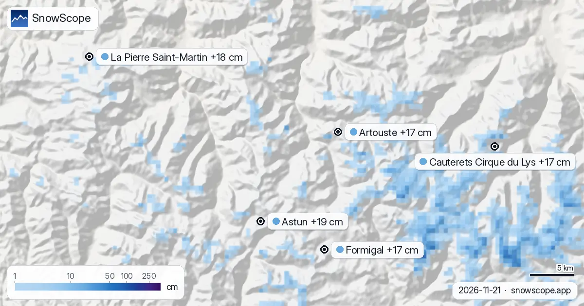
Next round by 24 November: 19 cm at Astun, 18 cm at La Pierre Saint-Martin and 17 cm at Artouste, according to our forecast. Model for the resorts, instruments for the stations: the first is an estimate for the upper slopes, the second one point on the date given. Confidence: good for the trend, lower for any single number.
See the live snow forecast for La Pierre Saint-Martin in the SnowScope appSnow depth, powder alerts and the 3D map, free.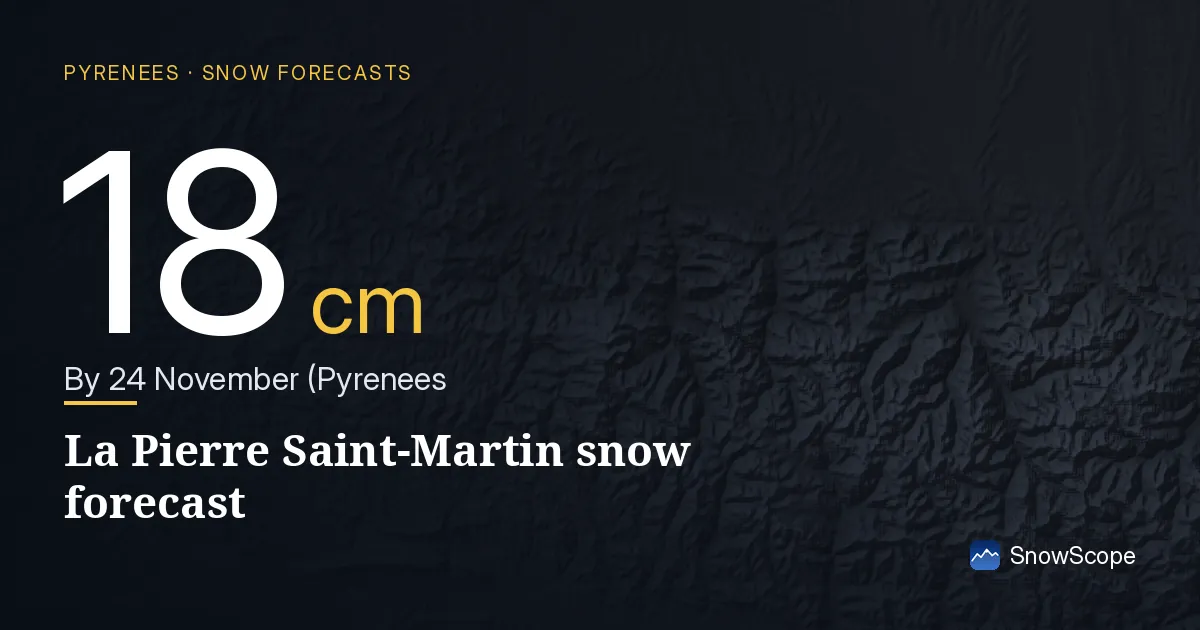
Depth today, by the numbers
Depth ranking for these resorts: Cauterets Cirque du Lys first with about 19 cm on the upper slopes, then Artouste 14 cm and Astun 9 cm.
The count of the day in the Pyrenees: 39 of 53 resorts with snow up high, 1,360 km² of snow-covered ground.
| Resort | Snow depth | New snow, 72 h | Coming, next days | Top |
|---|---|---|---|---|
| Astun | 9 cm | 8 cm | 19 cm | 2,272 m |
| La Pierre Saint-Martin | 6 cm | 9 cm | 18 cm | 2,146 m |
| Artouste | 14 cm | 7 cm | 17 cm | 2,038 m |
| Cauterets Cirque du Lys | 19 cm | 13 cm | 17 cm | 2,420 m |
| Formigal | 3 cm | 9 cm | 17 cm | 2,264 m |
Rain up to the top?
On Saturday 21 November the freezing level climbs to about 3,020 m, above the top of the lifts at 2,272 m: rain can fall even at the top.
Rain on fresh snow makes it heavy and, after a cold night, icy: the days after are better for groomed runs than for powder.
At about 1,965 m, Astun has 0 cm today; a normal 21 November has 5 cm there.
That is more than in 9 of the 46 past winters on this date.
In past winters the best snow at Astun usually came early February / late February.
Day by day at Astun: Saturday 21 November 3 cm; Sunday 22 November 9 cm; Monday 23 November 2 cm; Tuesday 24 November 8 cm.
Height by height at Astun: 1,659 m 0 cm on the ground, 19 cm more in the next 7 days; 1,965 m 0 cm on the ground, 28 cm more in the next 7 days; 2,272 m 0 cm on the ground, 30 cm more in the next 7 days.
The forecast in short
More snow ahead: 17 cm at Cauterets Cirque du Lys and 17 cm at Formigal by 24 November, if the forecast holds.
The white area on the map dropped from 2,290 km² (19 November) to 1,360 km² today, and the forecast says 5,210 km² on 24 November.
Snow line check
Astun, 21 November: freezing level 2,580 m to 3,020 m, above the top (2,272 m). Rain or wet snow is possible on every slope.
On 21 November the freezing level at La Pierre Saint-Martin sits at 2,750 m to 3,050 m, over the top of the resort (2,146 m): rain or wet snow could fall on all slopes.
Artouste, 21 November: freezing level 2,620 m to 3,010 m, above the top (2,038 m). Rain or wet snow is possible on every slope.
Safety and avalanche level
Forecasts a few days ahead can change: look at the map again the day before you travel.
Tips for skiers
- Forecasts a few days ahead can change: look at the map again the day before you travel.
- Freezing level above the top station? Expect wet snow and ski as high as the lifts allow.
- Be on the first lift after a snowfall: by midday, sun and skiers have already changed the snow.
- Before you ski off-piste or go touring, read the official avalanche bulletin (links below).
- Get a powder alert in the SnowScope app to know when Astun gets fresh snow.
About these numbers
Resort snow depths are the deepest snow on the resort's upper slopes from the SnowScope snow model (about 1 km, run of 21 November); they are estimates for an area, not a measurement at one point. Station values are measurements on the date shown. Forecasts can change. Always read the official avalanche bulletin before going off-piste.
Official avalanche bulletins: Météo-France – Bulletin d'estimation du risque d'avalanche
Cite this report
For research, teaching or the press: the numbers and charts are free to reuse under CC BY 4.0 with this citation.
SnowScope (2026), La Pierre Saint-Martin snow forecast: 18 cm by 24 November (Pyrenees), https://snowscope.app/blog/en/2026/11/pyrenees-la-pierre-saint-martin-snow-forecast-21-november-2026.html, accessed 2026-11-21
SnowScope (Atlas Labs). (2026, November 21). La Pierre Saint-Martin snow forecast: 18 cm by 24 November (Pyrenees). SnowScope snow reports. https://snowscope.app/blog/en/2026/11/pyrenees-la-pierre-saint-martin-snow-forecast-21-november-2026.html
BibTeX
@misc{snowscope2026pyreneeslapierresaintmar,
  author       = {{SnowScope (Atlas Labs)}},
  title        = {La Pierre Saint-Martin snow forecast: 18 cm by 24 November (Pyrenees)},
  year         = {2026},
  month        = nov,
  howpublished = {\url{https://snowscope.app/blog/en/2026/11/pyrenees-la-pierre-saint-martin-snow-forecast-21-november-2026.html}},
  note         = {Published 2026-11-21 11:14 UTC; accessed 2026-11-21}
}· CC BY 4.0 · Methods, data and tools →
La Pierre Saint-Martin: snow and temperature by height, this winter vs last (tools) →
Follow La Pierre Saint-Martin
Free: a message when fresh snow is coming, and the forecast every morning.

More snow reports
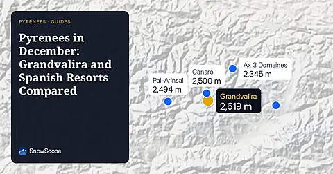
Compare Grandvalira and Spanish resorts in December 2026 for snow depths, lift heights, and prices starting from 49.00 EUR.
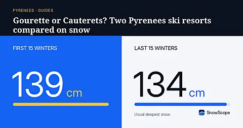
Gourette and Cauterets side by side: heights, usual snow by month, the best weeks and how to get there, from 46 past winters.
How long the Pyrenees stayed white each winter since 2000-01, seen by satellite, and snow depth at 10 long-running stations. Three thin winters in a row ended in 2025-26; this autumn has started normally.