 SnowScope
Les Contamines freshens up: 145 cm of new snow in three days (Alps, 20 November)
A fresh round of snow has reshaped the picture in the Alps, though not every resort shared in it. In the last 72 hours, 153 cm of new snow fell on Les Grands Montets; 56 cm of it came in the last 24 hours. Its upper slopes now hold about 95 cm of snow, by our model. New snow is light and full of air; as it settles, the same water takes less depth.
See the live snow forecast for Les Contamines in the SnowScope appSnow depth, powder alerts and the 3D map, free.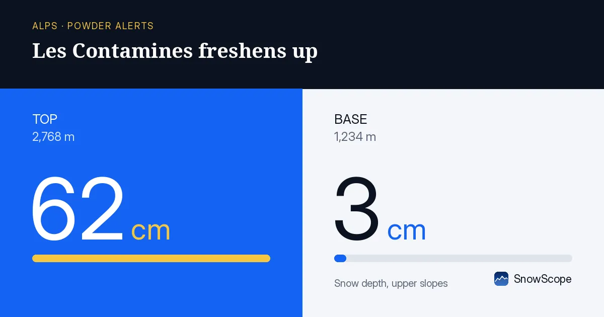
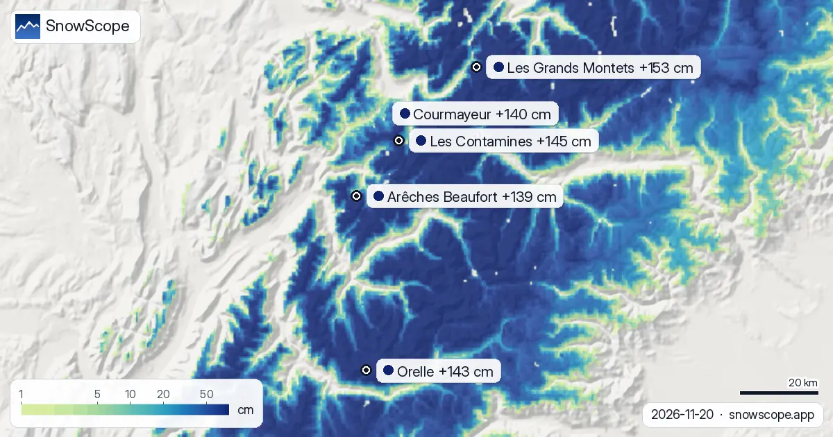
New snow on the mountains
Across the region, Les Contamines, Orelle and Courmayeur gained 145 cm, 143 cm and 140 cm in the last 72 hours.
Today 77,180 km² of ground in the Alps is covered by snow, our model says, and 874 of 1,204 resorts have snow on their upper slopes.
| Resort | Snow depth | New snow, 72 h | Coming, next days | Top |
|---|---|---|---|---|
| Les Grands Montets | 95 cm | 153 cm | 87 cm | 2,768 m |
| Les Contamines | 115 cm | 145 cm | 89 cm | 2,444 m |
| Orelle | 145 cm | 143 cm | 92 cm | 3,221 m |
| Courmayeur | 126 cm | 140 cm | 80 cm | 2,749 m |
| Arêches Beaufort | 111 cm | 139 cm | 102 cm | 2,319 m |
Top and bottom are two different worlds
The top of Les Grands Montets has about 62 cm at 2,768 m, the bottom about 3 cm at 1,234 m.
Ski the upper lifts and plan to ride down by lift if the lower runs are thin.
At about 2,001 m, Les Grands Montets has 50 cm today; a normal 20 November has 27 cm there.
That is more than in 38 of the 46 past winters on this date.
Day by day at Les Grands Montets: Friday 20 November 56 cm; Saturday 21 November 8 cm; Sunday 22 November 60 cm; Monday 23 November 19 cm.
Height by height at Les Grands Montets: 1,234 m 3 cm on the ground, 2 cm more in the next 7 days; 2,001 m 36 cm on the ground, 42 cm more in the next 7 days; 2,768 m 62 cm on the ground, 51 cm more in the next 7 days.
Snow still to come
By 23 November the forecast adds 102 cm at Arêches Beaufort, 92 cm at Orelle and 89 cm at Les Contamines to the snowpack.
Forecasts a few days ahead can change: look at the map again the day before you travel.
Height and the snow line
Our model splits Les Grands Montets into three heights: 62 cm at the top (2,768 m), 36 cm at mid-mountain (2,001 m), 3 cm at the base (1,234 m).
On 24 November the freezing level at Les Grands Montets rises to 2,010 m to 3,050 m, above the top of the resort (2,768 m): precipitation can fall as rain or wet snow, and rain on snow speeds up the melt.
Measured snow
Measured, not modelled: the Hohe Munde Gipfel station (2,580 m) recorded 62 cm of snow on the ground on 20 November, with 40 cm of new snow in 24 hours. The Daone (Malga Bissina) station (1,785 m) reported a snow depth of 45 cm on 20 November, 40 cm of it from the last 24 hours. Measured, not modelled: the Tsanfleuron station (2,569 m) recorded 74 cm of snow on the ground on 20 November, with 34 cm of new snow in 24 hours.
Two kinds of numbers here: model estimates for the upper slopes of each resort, and station measurements that are exact but cover one point on the date shown.
Staying safe
After fresh snow, wind builds drifts on sheltered slopes. Off-piste, the first days after a snowfall need the most care.
Tips for skiers
- Light new snow packs down within hours under sun and skis. Go early to catch it at its best.
- South-facing slopes take the most sun and melt first; high, north-facing slopes keep their snow the longest.
- Before you ski off-piste or go touring, read the official avalanche bulletin (links below).
- Snow on the map does not mean a resort is open: check lifts and opening dates on the resort's website.
- Get a powder alert in the SnowScope app to know when Les Grands Montets gets fresh snow.
About these numbers
Resort snow depths are the deepest snow on the resort's upper slopes from the SnowScope snow model (about 1 km, run of 20 November); they are estimates for an area, not a measurement at one point. Station values are measurements on the date shown. Forecasts can change. Always read the official avalanche bulletin before going off-piste.
Official avalanche bulletins: EAWS (Alps)
Cite this report
For research, teaching or the press: the numbers and charts are free to reuse under CC BY 4.0 with this citation.
SnowScope (2026), Les Contamines freshens up: 145 cm of new snow in three days (Alps, 20 November), https://snowscope.app/blog/en/2026/11/alps-les-contamines-fresh-snow-powder-alert-20-november-2026.html, accessed 2026-11-20
SnowScope (Atlas Labs). (2026, November 20). Les Contamines freshens up: 145 cm of new snow in three days (Alps, 20 November). SnowScope snow reports. https://snowscope.app/blog/en/2026/11/alps-les-contamines-fresh-snow-powder-alert-20-november-2026.html
BibTeX
@misc{snowscope2026alpslescontaminesfreshsn,
  author       = {{SnowScope (Atlas Labs)}},
  title        = {Les Contamines freshens up: 145 cm of new snow in three days (Alps, 20 November)},
  year         = {2026},
  month        = nov,
  howpublished = {\url{https://snowscope.app/blog/en/2026/11/alps-les-contamines-fresh-snow-powder-alert-20-november-2026.html}},
  note         = {Published 2026-11-21 11:39 UTC; accessed 2026-11-20}
}· CC BY 4.0 · Methods, data and tools →
Les Contamines: snow and temperature by height, this winter vs last (tools) →
Follow Les Contamines
Free: a message when fresh snow is coming, and the forecast every morning.

More snow reports
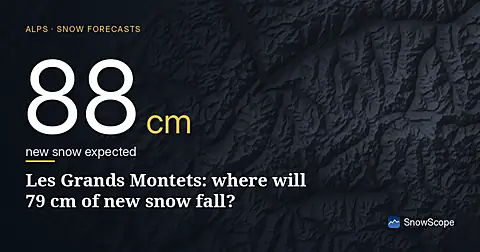
79 cm new snow forecast for Les Grands Montets from 16–18 November, mostly above 2000 m elevation, based on forecast from 15 November.
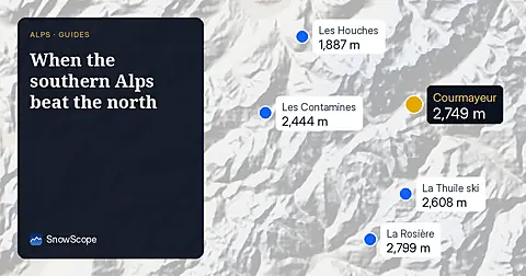
In 24 of 46 winters, resorts on the Italian and southern French side of the Alps had a relatively bigger winter than the northern side. The chart, the big years and the weather behind them.
A slope map of Les Grands Montets and seven other ski areas shows how much of the ground is steeper than 30°, 35° and 40°, and why that line matters for avalanches.