 SnowScope
Alta, Utah, in numbers and answers: deep snow, skis only, one canyon road
Short version: Alta has a lot of snow and a few rules worth knowing before a first trip. We answer the usual questions with the area's published facts and our snow history of 46 past winters, which is a model, not the resort's own reports.
See the live snow forecast for Alta Ski Area in the SnowScope appSnow depth, powder alerts and the 3D map, free.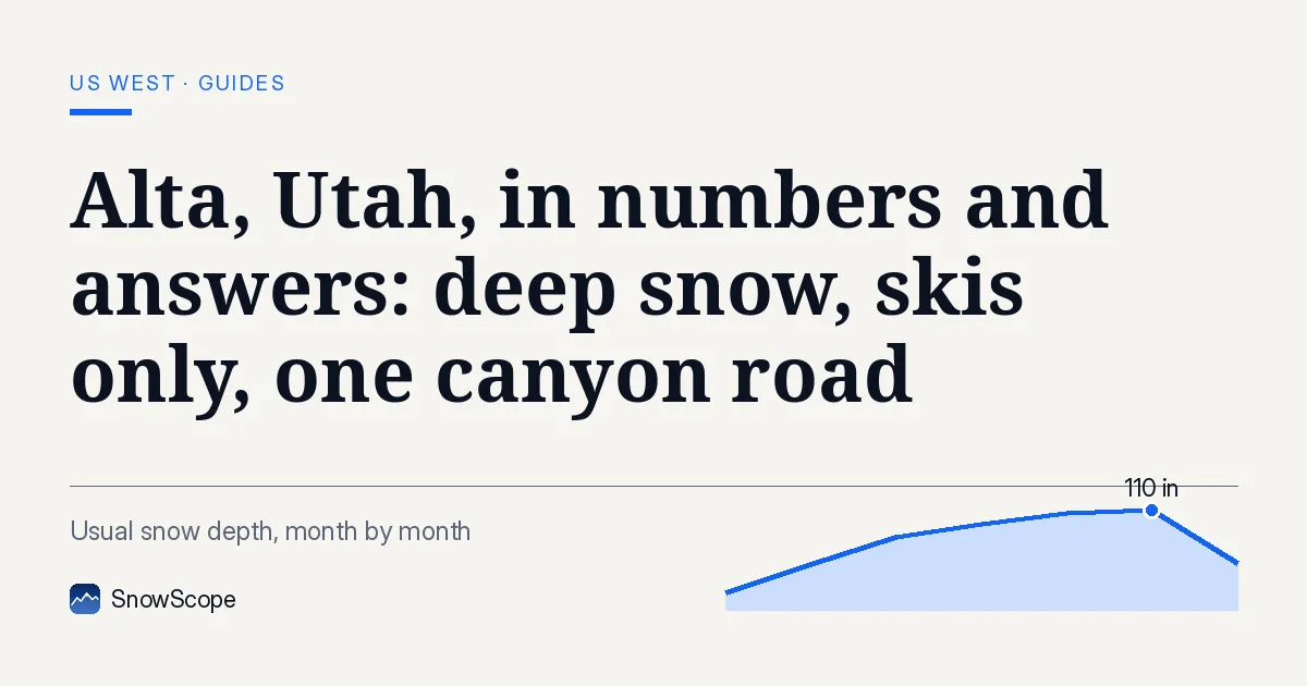

How good is the snow, in figures?
545 in a year: that is Alta's own average snowfall. Our model agrees the pack is deep. At mid-mountain, about 9,544 ft (2,909 m), the season usually peaks near 109 in (276 cm); close to the top, about 10,554 ft (3,217 m), near 137 in (348 cm). In 9 winters out of 10, mid-mountain kept at least 20 in (50 cm) on the ground for 20 weeks.
Storms cross the desert before they hit the Wasatch, which is why the snow is often light and dry. Still, our confidence in any single powder day is low: one storm is never like the next.
Snowboards allowed?
No. Only three ski areas in the United States keep snowboarders out, and Alta is one of them. Mixed group? Snowbird, its neighbour in the same canyon, takes both, and since the winter of 2002 Alta and Snowbird have sold a joint pass, with the terrain joined through Mineral Basin.
Size, and who will enjoy it
Top 11,068 ft (3,374 m), base 8,530 ft (2,600 m): 2,538 ft (774 m) of vertical on 2,614 acres. Near the bottom, beginners get gentle and quiet slopes. Intermediates get long, easy cruising. Strong skiers come for steep bowls, chutes and trees that keep snow for days after a storm. Nightlife and shops are scarce, by design: people come to ski.
Which month gives the best odds?
Usual depth at mid-mountain in our model: about 14 in (36 cm) in November, 42 in (106 cm) in December, 69 in (175 cm) in January, 83 in (211 cm) in February and 89 in (227 cm) in March, the peak month. April still holds about 83 in (212 cm), and near the top April is the deepest month, around 110 in (279 cm). Best odds: February and March. Early December can work, with a real risk of thin cover.
Is there less snow than before?
We compared the first 15 winters of our record with the last 15. Mid-mountain's usual peak dropped from about 111 in (283 cm) to about 98 in (248 cm), and snow-covered days went from 226 to 215. Last winter, 2025-26, was the leanest of all 46, with a mid-mountain peak of only about 62 in (158 cm). Most winters still bring deep snow; the safety margin has simply shrunk.
Getting up the canyon
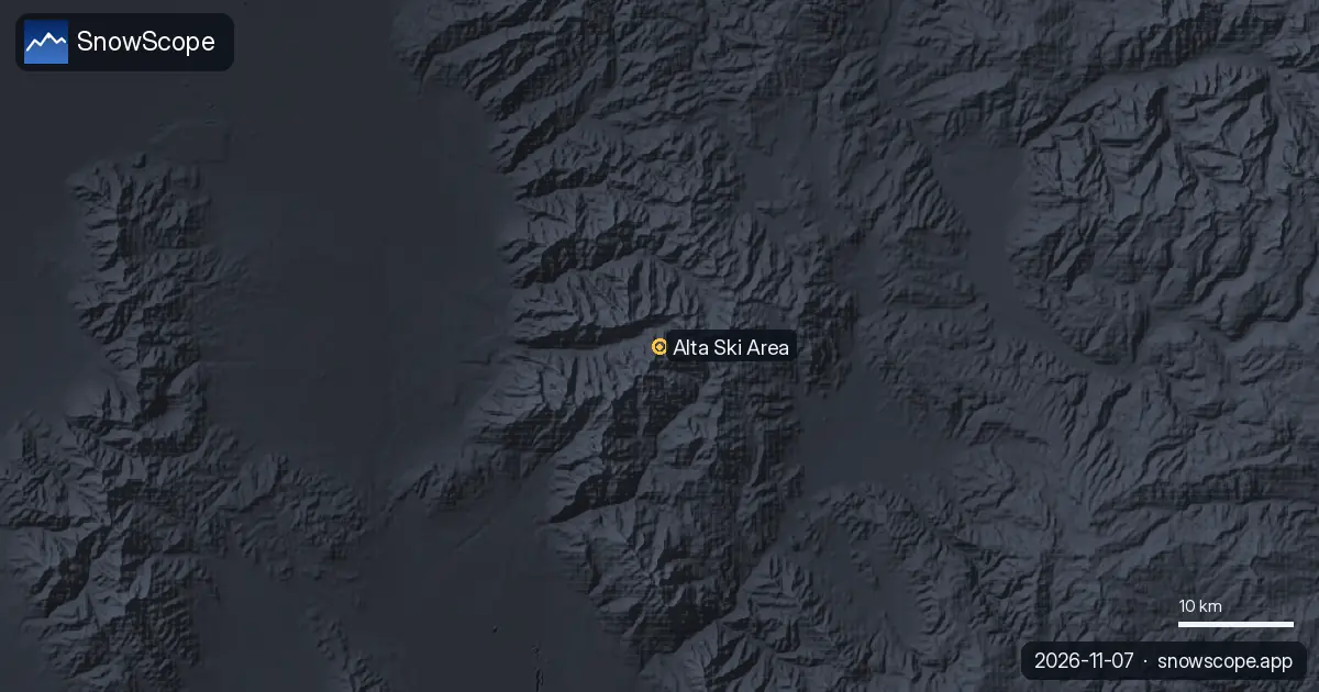
Alta is at the head of Little Cottonwood Canyon, on State Route 210 from the Salt Lake Valley. Avalanche danger can close the road, and storm mornings mean slow traffic. Start early, fit winter tires and follow road and closure news. Beds at the top are few, so many visitors sleep in the valley and drive or ride the bus up.
Avalanche safety
This is steep avalanche country. In bounds, ski patrol controls the slopes and closures are not optional. Beyond the boundary, read the Utah Avalanche Center's daily forecast and carry a transceiver, a probe and a shovel, with partners trained to use them.
Tips for skiers
- Skis only: send any snowboarders in your group to Snowbird.
- For the deepest cover in our snow history, aim for February or March.
- On storm days the canyon road is the slow part, so leave early.
- Going beyond the boundary? Read the Utah Avalanche Center forecast first.
References and credits
- Wikipedia, 'Alta Ski Area' (retrieved 7 November 2026): elevations, vertical, skiable area, average snowfall, skiers-only policy, Little Cottonwood Canyon, joint pass with Snowbird. en.wikipedia.org/wiki/Alta_Ski_Area
- Wikipedia, 'Utah State Route 210' (retrieved 7 November 2026): the access road of Little Cottonwood Canyon, Alta Bypass Road when slides close the road. en.wikipedia.org/wiki/Utah_State_Route_210
- Alta Ski Area, official website. www.alta.com/
- Utah Avalanche Center, official avalanche forecasts for the Salt Lake mountains. utahavalanchecenter.org/
About these numbers
Snow numbers: SnowScope snow history, 46 past winters (1980-81 to 2025-26) at three heights of the resort, a model of the past corrected for height (an estimate for an area, not resort reports). Lift, run and access facts: the sources listed below, checked on the date shown.
Official avalanche bulletins: Utah Avalanche Center
Cite this report
For research, teaching or the press: the numbers and charts are free to reuse under CC BY 4.0 with this citation.
SnowScope (2026), Alta, Utah, in numbers and answers: deep snow, skis only, one canyon road, https://snowscope.app/blog/en/2026/11/alta-ski-area-questions-answered.html, accessed 2026-11-09
SnowScope (Atlas Labs). (2026, November 9). Alta, Utah, in numbers and answers: deep snow, skis only, one canyon road. SnowScope snow reports. https://snowscope.app/blog/en/2026/11/alta-ski-area-questions-answered.html
BibTeX
@misc{snowscope2026altaskiareaquestionsansw,
  author       = {{SnowScope (Atlas Labs)}},
  title        = {Alta, Utah, in numbers and answers: deep snow, skis only, one canyon road},
  year         = {2026},
  month        = nov,
  howpublished = {\url{https://snowscope.app/blog/en/2026/11/alta-ski-area-questions-answered.html}},
  note         = {Published 2026-11-09 14:17 UTC; accessed 2026-11-09}
}· CC BY 4.0 · Methods, data and tools →
Alta Ski Area: snow and temperature by height, this winter vs last (tools) →
Follow Alta Ski Area
Free: a message when fresh snow is coming, and the forecast every morning.

More snow reports
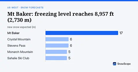
Rain will replace snow at Mt Baker on November 6, as the freezing level climbs to 8,957 ft (2,730 m), far above the ski area.
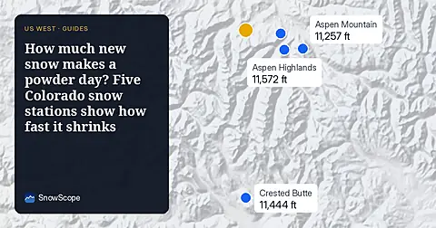
A storm on November 4 left 8 to 13 inches of new snow at five high Colorado stations near Aspen. Five days later, half of it was gone. What that means for powder days.
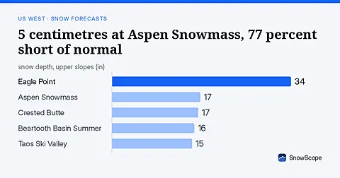
Aspen Snowmass at 5 centimetres, 23 percent of normal for mid-November. Freezing levels above 2,600 metres brought rain instead of snow across the US West on November 8.