 SnowScope
Piau-Engaly: freezing level 3060 m puts rain at the summit
Piau-Engaly has collected 16 cm of fresh snow in the past 72 hours, which would normally be welcome news mid-November. The hitch: today's freezing level reaches 3060 m, perched above the summit lift at 2527 m, so whatever snow is falling at the top is turning into rain.
See the live snow forecast for Piau-Engaly in the SnowScope appSnow depth, powder alerts and the 3D map, free.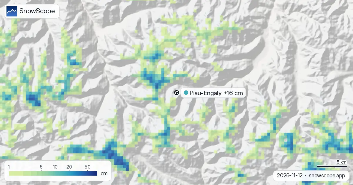
Rain at altitude today
Our snow model shows the freezing level reaching 3060 m at Piau-Engaly on 12 November, placing the rain line comfortably above the summit at 2527 m. The highest slopes carry just 2 cm of snow depth, so rain falling on thin cover is the main concern for skiers today.
The satellite picture supports the urgency: satellite imagery from 7 November showed the summit completely bare of snow, so this 2 cm layer is brand new, delivered by the fresh snow spell of the past 72 hours. Normally by this date, 2 cm is about right at mid-elevation, but the freezing level today has pushed much higher than typical early season, so the rain-snow line is unusually high. These situations can shift with incoming lows, but for now, the advisory is clear: seek lower elevation or wait a day.
| Resort | Snow depth | New snow, 72 h | Coming, next days | Top |
|---|---|---|---|---|
| Piau-Engaly | 7 cm | 16 cm | 29 cm | 2,527 m |
Where the powder arrived
Fresh snow has been falling across the Pyrenees for three days. Our model estimates 16 cm at Piau-Engaly over 72 hours, with the most recent 24 hours delivering 9 cm, a solid pace.
The pattern has been uneven regionally. Storm cells have been heavier elsewhere: about 40 cm near Peyragudes, only 14 km away, and 33 cm near Cauterets Pont d'Espagne, 9 km to the south. These storm cores dumped much more than Piau-Engaly itself, suggesting the heaviest snow bands tracked south of the main resort.
A ground-truth check comes from Núria, a station at 1971 m on the Spanish side, which recorded 6 cm on 11 November. That confirms the signal: meaningful snow is falling, though the volume and phase vary sharply with elevation and freezing level.
More snow is coming
The forecast for the next three days predicts 29 cm of additional snow to accumulate at Piau-Engaly by 15 November. The rate is uneven: 5 cm on 13 November, 7 cm on 14 November, and a heavier 17 cm on 15 November. If this verifies, the total snowfall over six days will be substantial for early November.
The freezing level schedule is critical. On 13 November, the minimum freezing level drops to 2380 m, which is below the summit, so rain risk falls away temporarily. However, by afternoon the maximum reaches 2770 m, and on 14 and 15 November the freezing level stays above 2500 m throughout, so rain at altitude resumes and persists. The coming snow will accumulate across a mix of rain-wet and dry layers, so early settlement and density changes are likely.
Regional context
Across the Pyrenees region, 21 of the 53 resorts currently report snow cover, with the total modelled snow-covered area at 790 km2. That is a modest base for mid-November, though typical for the early season's progression.
The forecast for 15 November shows rapid expansion. By then, snow cover is modelled to nearly triple to 2080 km2, and the number of resorts with skiable snow should rise to 24. This jump reflects the forecast wave of precipitation and the fact that future snow will fall at lower elevations as well, not just on the high peaks where today's rain is falling.
So despite this morning's rain-at-altitude problem, the larger trajectory is upward.
What's playable today?
On 12 November, the mid-slopes around 2144 m sit near the freezing level minimum forecast for tomorrow, but today's maximum reaches 3060 m, so even mid-slopes can see rain-on-snow for part of the day. The base elevation (1762 m) is currently bare, with 0 cm depth and no new snow forecast to reach it.
Practically, skiers today should focus on what little cover exists and expect variable conditions. The 2 cm at the top is a scraping, and mid-slopes will be wet and rotten by afternoon. Tomorrow morning offers a couple of hours around dawn before the freezing level climbs again.
Tips for skiers
- Skip the summit today (2527 m). The 2 cm base is too thin and rain is falling on it. Return on 13 November morning when the freezing level minimum of 2380 m puts the rain line below the peak, or wait until 15 November after 29 cm of new snow arrives.
- Mid-slopes (around 2144 m) offer slightly better prospects today, though expect rain-on-snow and rotten cover by afternoon. The freezing level minimum is still 2380 m tomorrow, but maximums remain well above 2500 m through 15 November, so this is not a durable solution.
- If you venture off-piste anywhere, consult the official avalanche bulletin first. Rain-weakened snow layering under new powder can trap instability.
- The forecast heavier snow (17 cm on 15 November) may offer a reset if conditions consolidate overnight. Timing your trip for 15 November or later could pay off.
- These model forecasts shift with new data runs, so check updates before you go. Early-season snow is thin and weather-dependent.
About these numbers
Resort snow depths are the deepest snow on the resort's upper slopes from the SnowScope snow model (about 1 km, run of 12 November); they are estimates for an area, not a measurement at one point. Station values are measurements on the date shown. Forecasts can change. Always read the official avalanche bulletin before going off-piste.
Official avalanche bulletins: Météo-France / Meteocat / AEMET
Cite this report
For research, teaching or the press: the numbers and charts are free to reuse under CC BY 4.0 with this citation.
SnowScope (2026), Piau-Engaly: freezing level 3060 m puts rain at the summit, https://snowscope.app/blog/en/2026/11/pyrenees-piau-engaly-fresh-snow-powder-alert-12-november-2026.html, accessed 2026-11-12
SnowScope (Atlas Labs). (2026, November 12). Piau-Engaly: freezing level 3060 m puts rain at the summit. SnowScope snow reports. https://snowscope.app/blog/en/2026/11/pyrenees-piau-engaly-fresh-snow-powder-alert-12-november-2026.html
BibTeX
@misc{snowscope2026pyreneespiauengalyfreshs,
  author       = {{SnowScope (Atlas Labs)}},
  title        = {Piau-Engaly: freezing level 3060 m puts rain at the summit},
  year         = {2026},
  month        = nov,
  howpublished = {\url{https://snowscope.app/blog/en/2026/11/pyrenees-piau-engaly-fresh-snow-powder-alert-12-november-2026.html}},
  note         = {Published 2026-11-12 13:06 UTC; accessed 2026-11-12}
}· CC BY 4.0 · Methods, data and tools →
Piau-Engaly: snow and temperature by height, this winter vs last (tools) →
Follow Piau-Engaly
Free: a message when fresh snow is coming, and the forecast every morning.

More snow reports
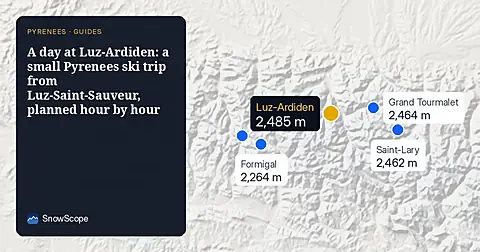
How to spend one good day at Luz-Ardiden, a small ski area above Luz-Saint-Sauveur in the Hautes-Pyrénées: the road, the two sectors, the snow of 46 past winters and which weeks to choose.
Baqueira-Beret sits in the Val d'Aran, on the Atlantic side of the Pyrenees. What that means for its snow, tested with 46 past winters against La Molina, and when to go.
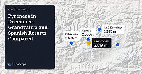
Compare Grandvalira and Spanish resorts in December 2026 for snow depths, lift heights, and prices starting from 49.00 EUR.