 SnowScope
Sillian ski map: where the snow is on the Hochpustertal slopes (13 November 2026)
If you search for a Sillian ski map, you get the lifts and the runs. What it will not tell you is where the snow actually lies today. So we laid our snow map over the Hochpustertal: on 13 November the white starts high on the mountain, with 8.6 cm at the top (2399 m), almost nothing at mid-mountain (1739 m) and green grass at the bottom station by the village (1080 m).
See the live snow forecast for Sillian - Hochpustertal in the SnowScope appSnow depth, powder alerts and the 3D map, free.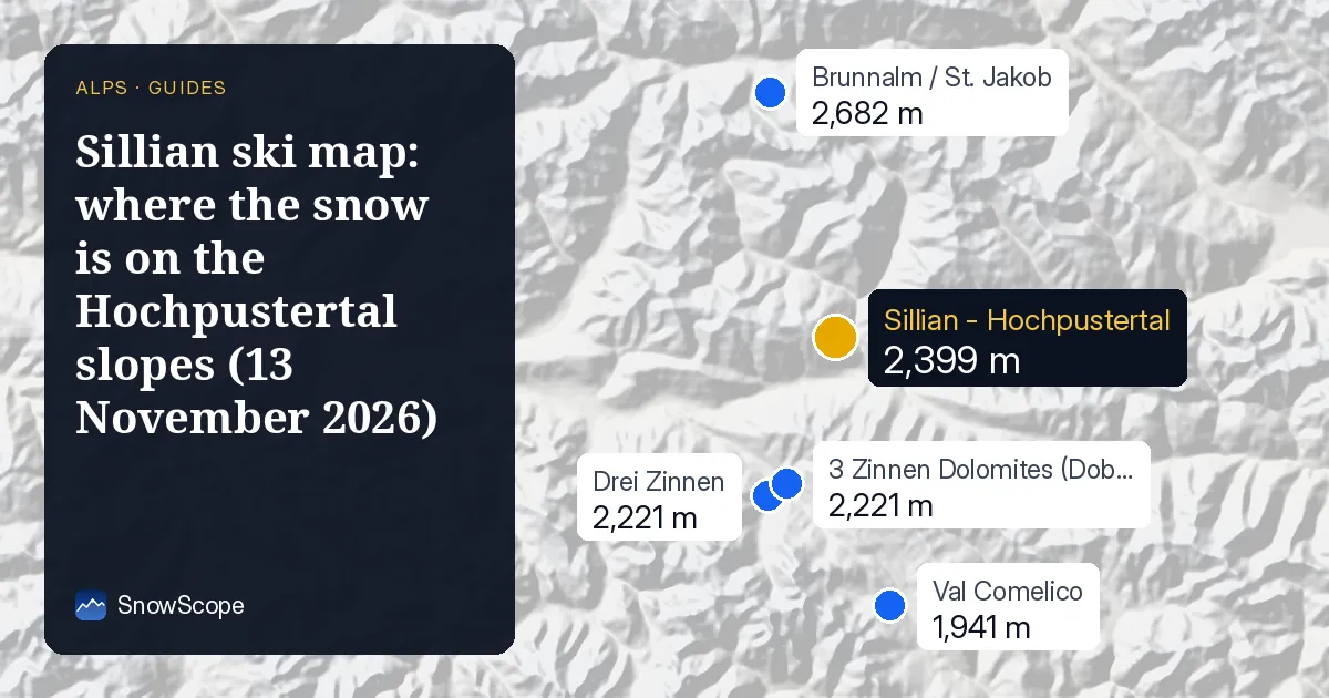
The ski area on the map
Sillian sits on the floor of the upper Drau valley in East Tyrol, a few minutes from the Italian border. The lifts climb from the edge of the village up to the Thurntaler, and on our mapping the ski area covers 24 km of runs and 7 lifts between 1080 m and 2399 m, a drop of 1319 m (OpenSkiMap figures, not the resort's own count).
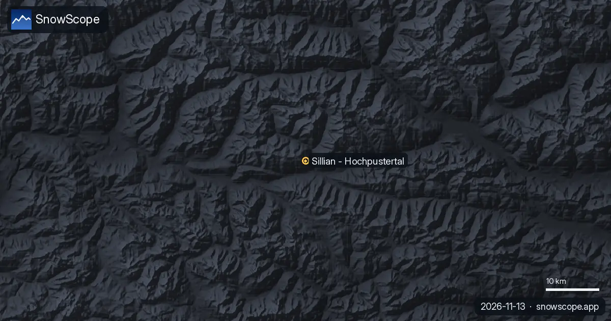
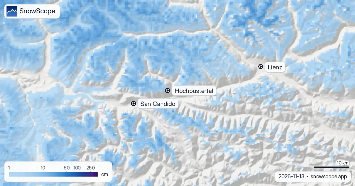
On the snow map the pin marked Hochpustertal sits on the ski area. Lienz is the town to the east, down the valley; San Candido, Innichen in German, is the first town across the border to the west. The grey band that joins them is the valley floor, where no snow lies yet.
What the colours say today
Blue means snow, from 1 cm in the palest shade to 250 cm in the darkest. Around Sillian the blue begins on the upper slopes: our numbers give 8.6 cm at the top, most of it new, with 7 cm in the last 24 hours and 13 cm over the past week. Mid-mountain has a trace, 0.7 cm, and the bottom station is bare.
The darker blue to the north is higher ground, the Villgraten mountains; the patchy blue south of the valley is the Carnic side, where the snow is thinner today.
This week, a line across the mountain
The coming days bring mixed rain and snow. At the top, the forecasts we check give between 10 and 22 cm over the week, and 4 to 5 cm of that in the next two days. Below about 1,800 to 2,000 m the same weather falls as rain.
That line runs straight across the ski area. Mid-mountain, at 1739 m, sits just under it: our number there is 13 cm for the week, but in the references more than half of what falls at that height comes as rain, so expect much less on the ground. The village end of the map stays grey, with 5 cm at most and rain most of the time.
When the map usually fills in
In the middle of our 46 past winters (1980-81 to 2025-26) the top of the ski area has 36 cm in November, mid-mountain 9 cm and the bottom 1 cm. The first lasting snow usually reaches the top around 17 September, mid-mountain around 8 October and the valley station around 1 November, so the lower half is running late this year.
December fills the map: a usual December has 74 cm at the top, 32 cm at mid-mountain and 13 cm at the bottom. The lowest runs never get deep here, 26 cm in a usual February, and last winter the valley station had only 79 days with snow against a usual 152. The top is a safer bet: 50 cm or more for 19 weeks in 9 winters out of 10, and in week 13, at the end of March, every one of our winters had that much, with a middle depth of 147 cm.
Tips for skiers
- Read a ski map and a snow map together: the runs are drawn every year, the snow is not.
- Early in the season, the upper runs open first; plan on riding the lift back down to Sillian.
- Before going off-piste, read the Euregio Tyrol avalanche bulletin, which covers East Tyrol.
More maps (external sites)
References and credits
- Hochpustertal, Osttirol tourism (ski area, lifts, piste map) www.hochpustertal.com/
- Avalanche.report, Euregio Tyrol avalanche bulletin avalanche.report
About these numbers
Snow numbers: the SnowScope snow model, run of 12 November 2026, at three heights of the ski area (values for the area, not the resort's own measurements), and our snow history, 46 past winters (1980-81 to 2025-26), a model of the past corrected for height. Mixed rain and snow, the range at the top and the snow line: independent weather forecasts read at the same heights, the check every SnowScope post passes before it goes out. Ski area layout: the tourism office's piste map (reference below); run length and lift count are OpenSkiMap mapping. Forecasts change: look at the map before you go.
Official avalanche bulletins: Avalanche.report – Euregio Tyrol
Cite this report
For research, teaching or the press: the numbers and charts are free to reuse under CC BY 4.0 with this citation.
SnowScope (2026), Sillian ski map: where the snow is on the Hochpustertal slopes (13 November 2026), https://snowscope.app/blog/en/2026/11/sillian-ski-map-hochpustertal-snow-13-november-2026.html, accessed 2026-11-13
SnowScope (Atlas Labs). (2026, November 13). Sillian ski map: where the snow is on the Hochpustertal slopes (13 November 2026). SnowScope snow reports. https://snowscope.app/blog/en/2026/11/sillian-ski-map-hochpustertal-snow-13-november-2026.html
BibTeX
@misc{snowscope2026sillianskimaphochpustert,
  author       = {{SnowScope (Atlas Labs)}},
  title        = {Sillian ski map: where the snow is on the Hochpustertal slopes (13 November 2026)},
  year         = {2026},
  month        = nov,
  howpublished = {\url{https://snowscope.app/blog/en/2026/11/sillian-ski-map-hochpustertal-snow-13-november-2026.html}},
  note         = {Published 2026-11-13 14:31 UTC; accessed 2026-11-13}
}· CC BY 4.0 · Methods, data and tools →
Sillian - Hochpustertal: snow and temperature by height, this winter vs last (tools) →
Follow Sillian - Hochpustertal
Free: a message when fresh snow is coming, and the forecast every morning.

More snow reports
A walk-through of the Sella Ronda from Sëlva in Val Gardena: Gardena, Campolongo, Pordoi and Sella passes in order, with our snow history of 46 past winters.
Val d'Isère and the Espace Killy for beginners, improvers and experts, with the snow of 46 past winters at three heights.
Chantarella, Marguns, Piz Nair, White Turf: the words you hear in St. Moritz, explained, and what 46 past winters of our snow history say about each height of Corviglia.