 SnowScope
How to get to Palisades Tahoe: chain controls, parking reservations and free buses
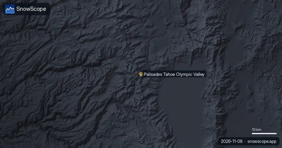
Palisades Tahoe, in Olympic Valley on the north-west side of Lake Tahoe, is a mountain drive from both Reno and the Bay Area. In winter two things decide your trip: California's chain controls on the mountain roads, and the parking reservations the resort requires on busy days.
See the live snow forecast for Palisades Tahoe Olympic Valley in the SnowScope appSnow depth, powder alerts and the 3D map, free.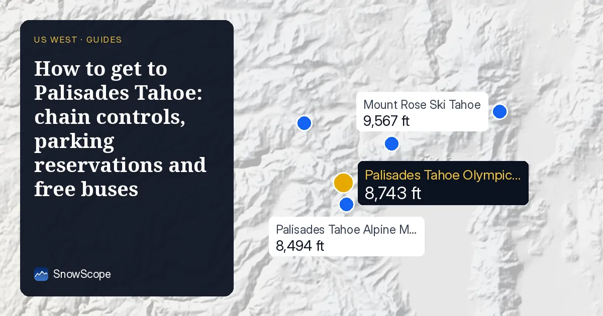

Where you come from: the distances
The resort gives these road distances: about 42 miles (68 km) from Reno, 96 miles (154 km) from Sacramento and 196 miles (315 km) from San Francisco. Reno is the closest airport city. The Village at Palisades Tahoe is at 1960 Olympic Valley Road; the Alpine Meadows base has its own address on Alpine Meadows Road.
Chain controls: what R-1, R-2 and R-3 mean
When snow falls, Caltrans sets chain controls and posts the level on signs. R-1: chains are required on all vehicles except passenger cars and light trucks under 6,000 lb with snow tires on at least two drive wheels, and those must still carry chains. R-2: chains or traction devices on all vehicles except four-wheel or all-wheel drive vehicles with snow-tread tires on all four wheels, which must carry devices. R-3: chains on every vehicle, no exceptions; a highway is often closed before R-3 is used.
The signs and the Caltrans or CHP staff at the checkpoint have the last word, even if a radio report says otherwise. R-0 means no chain controls.
Before you leave: check QuickMap
Caltrans asks drivers heading to the mountains to check road conditions, chain controls and closures on Caltrans QuickMap before they leave. On storm days, trucks are often held or turned around at the chain control points over Donner Summit, which slows all traffic: leave time.
Parking and buses
Parking reservations are required at Palisades Tahoe on Saturdays, Sundays and holiday periods; there are free and paid reservations, and you must book before you come. Tahoe Area Regional Transit (TART) runs free buses every day from Truckee and Tahoe City to Olympic Valley, and a free on-demand shuttle, the Mountaineer, moves people around the valley.
The snow at the end of the road
Our snow history at mid-mountain, 7,470 ft (2,277 m), gives a usual season peak of about 80 in (202 cm), with snow on the ground on about 190 days of a typical winter and the deepest snow usually in March. Model values of past winters, not resort reports.
Tips for skiers
- Carry chains even with four-wheel drive: in R-2 you must have them in the car.
- Book weekend and holiday parking before you drive up.
- Use the free TART bus from Truckee or Tahoe City on busy days.
- Leaving the resort boundary: read the avalanche forecast for the Tahoe area first.
References and credits
- Palisades Tahoe, Getting to Palisades Tahoe (retrieved 8 November 2026). www.palisadestahoe.com/plan-your-visit/travel-here
- Caltrans, Chain Controls / Chain Installation (retrieved 8 November 2026). dot.ca.gov/travel/winter-driving-tips/chain-controls
- Caltrans, Chain Control Status Chart (retrieved 8 November 2026). cwwp2.dot.ca.gov/documentation/cc/cc-chart.htm
- Caltrans, Winter Driving Tips and QuickMap (retrieved 8 November 2026). dot.ca.gov/travel/winter-driving-tips
About these numbers
Snow numbers: SnowScope snow history, 46 past winters (1980-81 to 2025-26) at three heights of the resort, a model of the past corrected for height (an estimate for an area, not resort reports). Lift, run and access facts: the sources listed below, checked on the date shown.
Official avalanche bulletins: avalanche.org (US national portal)
Cite this report
For research, teaching or the press: the numbers and charts are free to reuse under CC BY 4.0 with this citation.
SnowScope (2026), How to get to Palisades Tahoe: chain controls, parking reservations and free buses, https://snowscope.app/blog/en/2026/11/how-to-get-to-palisades-tahoe-chain-controls-parking.html, accessed 2026-11-09
SnowScope (Atlas Labs). (2026, November 9). How to get to Palisades Tahoe: chain controls, parking reservations and free buses. SnowScope snow reports. https://snowscope.app/blog/en/2026/11/how-to-get-to-palisades-tahoe-chain-controls-parking.html
BibTeX
@misc{snowscope2026howtogettopalisadestahoe,
  author       = {{SnowScope (Atlas Labs)}},
  title        = {How to get to Palisades Tahoe: chain controls, parking reservations and free buses},
  year         = {2026},
  month        = nov,
  howpublished = {\url{https://snowscope.app/blog/en/2026/11/how-to-get-to-palisades-tahoe-chain-controls-parking.html}},
  note         = {Published 2026-11-09 18:01 UTC; accessed 2026-11-09}
}· CC BY 4.0 · Methods, data and tools →
Palisades Tahoe Olympic Valley: snow and temperature by height, this winter vs last (tools) →
Follow Palisades Tahoe Olympic Valley
Free: a message when fresh snow is coming, and the forecast every morning.

More snow reports
Plan Mammoth Mountain by season: about 93 in (235 cm) at the usual peak at mid-mountain over 46 past winters, March deepest, long springs, and winters that swing.
Aspen Snowmass compared: Snowmass has about 75 in (190 cm) at the usual peak at mid-mountain over 46 past winters, Aspen Mountain about 69 in (174 cm). Terrain, access, safety.
Big Sky, Montana, made easy to picture: 5,850 acres under Lone Peak, and snow that is about five times deeper near the top than at the base in 46 past winters.