 SnowScope
Montafon snow conditions: snow up high, rain in the valley (13 November 2026)
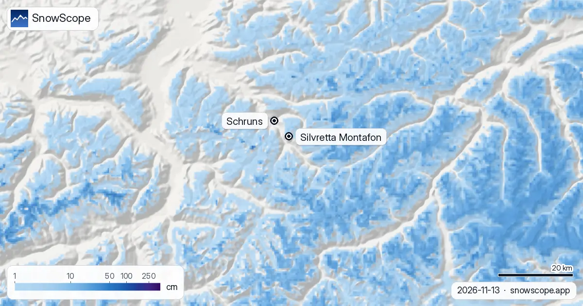
The Montafon is living two seasons at once. On the top of Silvretta Montafon, at 2421 m, our snow map shows 4.5 cm on the ground after 5 cm of fresh snow in the last 24 hours. Halfway down, at 1555 m, and in the valley at 689 m, there is nothing yet. The coming week brings about 40 cm to the top and 27 cm to mid-mountain, but the valley gets rain: the snow line sits somewhere between 1,300 and 1,500 m.
See the live snow forecast for Silvretta Montafon in the SnowScope appSnow depth, powder alerts and the 3D map, free.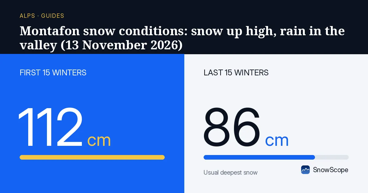
Three floors, three different days
Silvretta Montafon is one of the tallest ski areas in Vorarlberg: the mapped lifts and runs go from 689 m in the valley to 2421 m on the top, a drop of 1732 m. That height difference is the whole story of the conditions in mid-November.
Top floor, around the Hochjoch and the ridges above Schruns and St. Gallenkirch: 4.5 cm of snow, 9.5 cm fallen over the past week, 5 cm more in the next 24 hours. Middle floor, at 1555 m: bare ground, with 3 cm due in the next day. Ground floor, the valley around Schruns at 689 m: bare, and it will stay mostly green this week.
Where the snow line sits this week
Rain and snow are coming in waves through the next seven days. Our numbers give 40 cm at the top, 27 cm at mid-mountain and 7.5 cm in the valley. The forecasts we compare against agree on the top, with 28 to 49 cm, so the high ground should turn properly white.
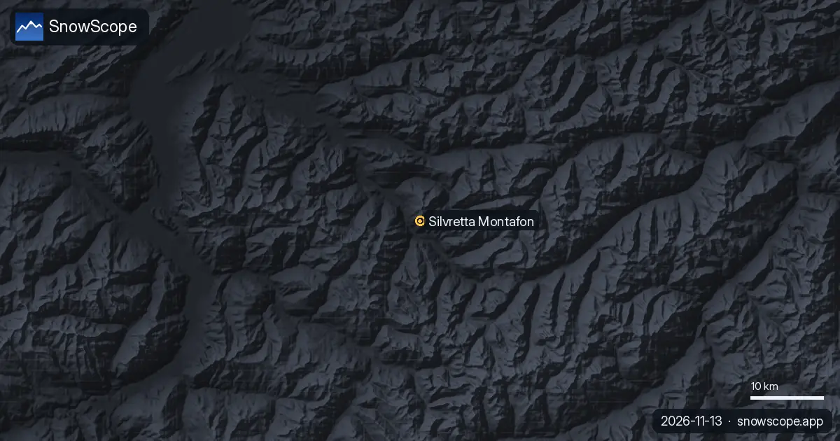
Lower down it is a different matter. The snow line, the height where rain turns into snow, sits between about 1,300 and 1,500 m this week. In the valley that means rain. At mid-mountain it is close: in the references about 45 % of what falls at 1555 m comes as rain, so expect wet, heavy snow there rather than powder.
Is this late for the Montafon?
A little. In the middle of our 46 past winters (1980-81 to 2025-26) the top of the ski area holds 41 cm in November, mid-mountain 11 cm and the valley 3 cm. In one winter out of ten the top has only 12 cm at this time of year; in another one out of ten it has 84 cm. So 4.5 cm is thin, but a 40 cm week would put the top back in the middle of the usual range.
The calendar agrees. The first lasting snow usually reaches the top around 16 September, mid-mountain around 3 October and the valley around 13 October. The top is on time; the lower two floors are waiting for colder air.
The valley runs need December
The long runs back to the villages are the last part to fill in. A usual December gives 18 cm in the valley and 35 cm at mid-mountain, and the valley reaches its deepest in February, with 40 cm in a middle winter. On thin years the valley runs depend on snowmaking.
That lower floor has also lost the most over the decades. The middle peak in the valley fell from 59 cm in the first 15 of our winters to 42 cm in the last 15, and the snow days there from 188 to 166 a winter. Up high the picture is much safer: the top has 50 cm or more for 23 weeks in 9 winters out of 10, and its best week, week 14 at the start of April, had that much in every one of our winters, with a middle depth of 199 cm.
Tips for skiers
- This week, plan on the top floor only: ride the lifts down rather than counting on the valley runs.
- Fresh snow on bare ground hides rocks and drainage ditches; keep to prepared runs once the lifts turn.
- Before leaving the marked runs, read the Vorarlberg avalanche bulletin: early snow on wind-loaded ridges is often the weak layer of the whole winter.
More maps (external sites)
References and credits
- Silvretta Montafon, official site (lifts, opening dates, piste map) www.silvretta-montafon.at/
- Lawinenwarndienst Vorarlberg, avalanche bulletin lawinen.report/
About these numbers
Snow numbers: the SnowScope snow model, run of 12 November 2026, at three heights of the ski area (values for the area, not the resort's own measurements), and our snow history, 46 past winters (1980-81 to 2025-26), a model of the past corrected for height. Snow line and the comparison range: independent weather forecasts read at the same heights, the check every SnowScope post passes before it goes out. Run length and lift count: OpenSkiMap mapping. Forecasts change: look at the map before you go.
Official avalanche bulletins: Lawinenwarndienst Vorarlberg
Cite this report
For research, teaching or the press: the numbers and charts are free to reuse under CC BY 4.0 with this citation.
SnowScope (2026), Montafon snow conditions: snow up high, rain in the valley (13 November 2026), https://snowscope.app/blog/en/2026/11/montafon-snow-conditions-13-november-2026.html, accessed 2026-11-13
SnowScope (Atlas Labs). (2026, November 13). Montafon snow conditions: snow up high, rain in the valley (13 November 2026). SnowScope snow reports. https://snowscope.app/blog/en/2026/11/montafon-snow-conditions-13-november-2026.html
BibTeX
@misc{snowscope2026montafonsnowconditions13,
  author       = {{SnowScope (Atlas Labs)}},
  title        = {Montafon snow conditions: snow up high, rain in the valley (13 November 2026)},
  year         = {2026},
  month        = nov,
  howpublished = {\url{https://snowscope.app/blog/en/2026/11/montafon-snow-conditions-13-november-2026.html}},
  note         = {Published 2026-11-13 14:11 UTC; accessed 2026-11-13}
}· CC BY 4.0 · Methods, data and tools →
Silvretta Montafon: snow and temperature by height, this winter vs last (tools) →
Follow Silvretta Montafon
Free: a message when fresh snow is coming, and the forecast every morning.

More snow reports
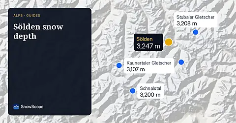
Snow depth in Sölden on 13 November 2026: about 9 cm at the top (3245 m), 5 cm at mid-mountain, none in the valley at 1346 m. 25 cm forecast up high this week, rain below about 1620 m. Glacier vs village, with 46 past winters.
Three ways to spend a day from Méribel: east to Courchevel, south towards Val Thorens, or at home on Mont Vallon, with the snow of 46 past winters at three heights.
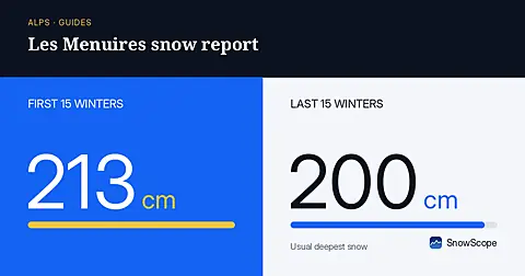
Les Menuires snow report for 13 November 2026: 28 cm at the top (2838 m), none lying at 2112 m or 1386 m. About 80 cm due at the top in seven days, snow line around 1500 to 1700 m. Why Val Thorens, 450 m higher up the same valley, already has more.