 SnowScope
Revelstoke from top to bottom: how the snow changes on the longest descent in North America
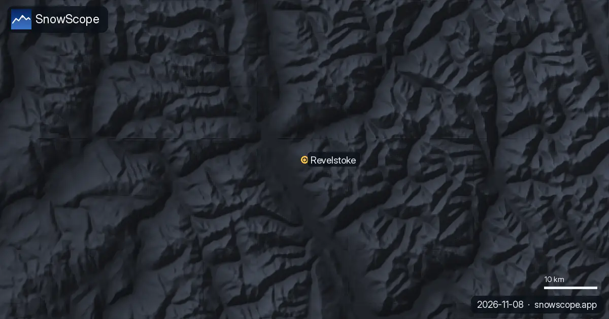
Revelstoke Mountain Resort has the longest vertical descent of any ski resort in North America, about 1,710 m from the top lifts to the town side of Mount Mackenzie. On one run you pass through three climates. This piece follows that descent from the summit down, with our snow history (a model of 46 past winters, not resort reports) at each stop.
See the live snow forecast for Revelstoke Mountain Resort in the SnowScope appSnow depth, powder alerts and the 3D map, free.
Start at the top: deep, long-lasting snow
Near the summit, at 2,224 m in our record, the usual season peak is about 256 cm and it arrives late, in April. A typical winter already has about 101 cm there in November, 153 cm in December and 186 cm in January, then about 206 cm in February, 225 cm in March and 229 cm in April. There is snow on the ground on about 258 days of a typical winter, from around 2 October to around 25 June. At least 50 cm lies there for 28 weeks in 9 winters out of 10: up here, the question is rarely whether there is snow, but how much of it is new and how stable it is.
Halfway down: still a full winter
At mid-mountain, 1,369 m, the snowpack is a little thinner but still deep: a usual peak of about 205 cm, with about 119 cm in December, 154 cm in January, 175 cm in February and 188 cm in March. The snow starts to drop off sooner in spring, to about 117 cm in May. With at least 50 cm for 25 weeks in 9 winters out of 10, this is the band where most of the long cruising happens.
The bottom: the valley still counts
The surprise of Revelstoke is the base. At 514 m, close to the Columbia River valley, our model still gives a usual peak of about 184 cm, with about 99 cm in December and 167 cm in March, and at least 50 cm for 22 weeks in 9 winters out of 10. The difference arrives in spring: the base usually holds about 142 cm in April but only about 65 cm in May, and its snow melts around 30 May, nearly a month before the top. In late season, plan to ride the gondola down rather than ski the last part.
What changes on the way down
Leg burn aside, three things change. Temperature: you can leave cold, dry snow at the top and meet softer, heavier snow lower down on the same run. Visibility: cloud often sits on the upper mountain while the valley is clear, or the other way round. And daylight: on a short winter day, a full descent with stops takes time. The longest marked run, Last Spike, is 15.2 km long.
A trend that goes the other way
Unlike many resorts, Revelstoke has gained snow in our record. At mid-mountain the median peak rose from about 197 cm in our first fifteen winters to about 221 cm in the last fifteen, and near the top from about 245 cm to about 276 cm. Last winter, 2025-26, was the deepest of all 46 winters at every height: about 334 cm near the top, 276 cm at mid-mountain and 242 cm at the base. One big winter does not make a rule, but the recent record has been generous.
Before you drop in
The resort opened on 21 December 2007 and covers about 1,263 hectares served by 5 lifts, from a high-speed gondola to quads. Beyond the lifts, cat and heli-skiing operate nearby. Big snowfalls mean real avalanche risk: read the Avalanche Canada forecast before you leave the groomed runs.
Tips for skiers
- For the deepest snow and the longest season, ski the upper mountain.
- Spring trips: the top usually holds its snow into June; ride the gondola down at the end.
- Plan a full top-to-bottom descent with time to spare on short winter days.
- Snow on our map does not mean a resort is open: check lifts on the official website.
References and credits
- Wikipedia, 'Revelstoke Mountain Resort' (retrieved 8 November 2026): vertical descent, summit and base, area, lifts, Last Spike, opening date, cat and heli-skiing. en.wikipedia.org/wiki/Revelstoke_Mountain_Resort
- Avalanche Canada, avalanche forecasts. avalanche.ca/
About these numbers
Snow numbers: SnowScope snow history, 46 past winters (1980-81 to 2025-26) at three heights of the resort, a model of the past corrected for height (an estimate for an area, not resort reports). Lift, run and access facts: the sources listed below, checked on the date shown.
Official avalanche bulletins: Avalanche Canada
Cite this report
For research, teaching or the press: the numbers and charts are free to reuse under CC BY 4.0 with this citation.
SnowScope (2026), Revelstoke from top to bottom: how the snow changes on the longest descent in North America, https://snowscope.app/blog/en/2026/11/revelstoke-top-to-bottom-snow-on-the-longest-descent.html, accessed 2026-11-09
SnowScope (Atlas Labs). (2026, November 9). Revelstoke from top to bottom: how the snow changes on the longest descent in North America. SnowScope snow reports. https://snowscope.app/blog/en/2026/11/revelstoke-top-to-bottom-snow-on-the-longest-descent.html
BibTeX
@misc{snowscope2026revelstoketoptobottomsno,
  author       = {{SnowScope (Atlas Labs)}},
  title        = {Revelstoke from top to bottom: how the snow changes on the longest descent in North America},
  year         = {2026},
  month        = nov,
  howpublished = {\url{https://snowscope.app/blog/en/2026/11/revelstoke-top-to-bottom-snow-on-the-longest-descent.html}},
  note         = {Published 2026-11-09 16:08 UTC; accessed 2026-11-09}
}· CC BY 4.0 · Methods, data and tools →
Revelstoke Mountain Resort: snow and temperature by height, this winter vs last (tools) →
Follow Revelstoke Mountain Resort
Free: a message when fresh snow is coming, and the forecast every morning.

More snow reports
We compared the snow on 10 November with each winter's deepest snow at 46 ski resorts over 46 winters. A snowy start helps, but less than many skiers think.
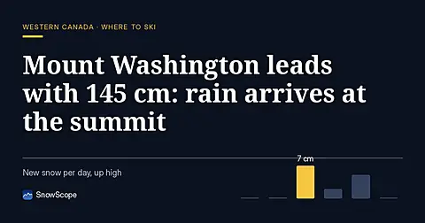
Mount Washington holds 145 cm on 8 November, the deepest in Western Canada, but the freezing level will climb above the summit by 11 November.
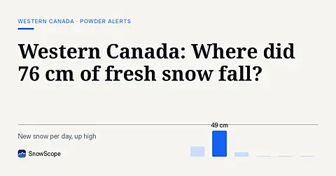
Whistler Blackcomb saw 76 cm of new snow in the last 72 hours, with Mount Cain Alpine Park also receiving 64 cm, as of November 16, 2026.