 SnowScope
Revelstoke snow forecast: up to 10–21 cm expected by 16 November (Western Canada)
Whistler Blackcomb, 13 November: freezing level 1,500 m to 2,700 m, above the top (2,259 m). Rain or wet snow is possible on every slope. Forecast to 16 November: 88 cm at Whistler Blackcomb, 10–21 cm at Revelstoke and 20 cm at Mount Cain Alpine Park. Treat the later days with care. In the valley it will rain; at Whistler Blackcomb the snow starts at about 1,360 m. Small print that matters: resort values are model estimates for an area, stations measure a single point. Satellites never get tired, but they do get clouds.
See the live snow forecast for Revelstoke in the SnowScope appSnow depth, powder alerts and the 3D map, free.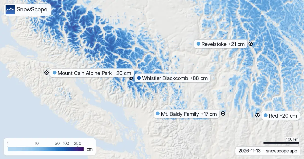
Today's snow map
Depth ranking for these resorts: Whistler Blackcomb first with about 166 cm on the upper slopes, then Revelstoke 53 cm and Mount Cain Alpine Park 33 cm.
Snow-covered ground in Western Canada: 201,390 km². Resorts with snow: 31 of 57.
| Resort | Snow depth | New snow, 72 h | Coming, next days | Top |
|---|---|---|---|---|
| Whistler Blackcomb | 166 cm | 9 cm | 88 cm | 2,259 m |
| Revelstoke | 53 cm | 4 cm | 21 cm | 2,224 m |
| Mount Cain Alpine Park | 33 cm | 2 cm | 20 cm | 1,616 m |
| Red | 26 cm | 0 cm | 20 cm | 2,037 m |
| Mt. Baldy Family | 23 cm | 0 cm | 17 cm | 2,119 m |
Rain up to the top?
On Friday 13 November the freezing level climbs to about 3,170 m, above the top of the lifts at 2,224 m: rain can fall even at the top.
Rain on fresh snow makes it heavy and, after a cold night, icy: the days after are better for groomed runs than for powder.
At about 1,369 m, Revelstoke has 24 cm today; a normal 13 November has 55 cm there.
That is more than in 5 of the 46 past winters on this date.
In past winters the best snow at Revelstoke usually came mid-March / late March.
Day by day at Revelstoke: Saturday 14 November 4 cm; Sunday 15 November 3 cm; Monday 16 November 14 cm.
Height by height at Revelstoke: 514 m 0 cm on the ground, 0 cm more in the next 7 days; 1,369 m 8 cm on the ground, 4 cm more in the next 7 days; 2,224 m 32 cm on the ground, 12 cm more in the next 7 days.
Coming up
Until 16 November the forecast gives 20 cm at Red and 17 cm at Mt. Baldy Family, with less certainty the further out you go.
Snow-covered area: 215,390 km² on 11 November, 201,390 km² today, 210,000 km² forecast for 16 November. The map is getting less white.
By height and slope
On 13 November the freezing level at Revelstoke sits at 2,220 m to 3,170 m, over the top of the resort (2,224 m): rain or wet snow could fall on all slopes.
Mount Cain Alpine Park, 13 November: freezing level 1,680 m to 2,090 m, above the top (1,616 m). Rain or wet snow is possible on every slope.
Whistler Blackcomb by height, from our model: top 77 cm (2,259 m), middle 37 cm (1,456 m), base 0 cm (653 m).
Staying safe
Forecasts a few days ahead can change: look at the map again the day before you travel.
Tips for skiers
- Forecasts a few days ahead can change: look at the map again the day before you travel.
- Air above freezing over the slopes turns snow into slush and water. The highest lifts keep the driest snow.
- Fresh snow has a short best-before time: the first hours. Early starts win.
- Before you ski off-piste or go touring, read the official avalanche bulletin (links below).
- Get a powder alert in the SnowScope app to know when Whistler Blackcomb gets fresh snow.
About these numbers
Resort snow depths are the deepest snow on the resort's upper slopes from the SnowScope snow model (about 1 km, run of 13 November); they are estimates for an area, not a measurement at one point. Station values are measurements on the date shown. Forecasts can change. Always read the official avalanche bulletin before going off-piste.
Official avalanche bulletins: Avalanche Canada
Cite this report
For research, teaching or the press: the numbers and charts are free to reuse under CC BY 4.0 with this citation.
SnowScope (2026), Revelstoke snow forecast: up to 10–21 cm expected by 16 November (Western Canada), https://snowscope.app/blog/en/2026/11/western-canada-revelstoke-snow-forecast-13-november-2026.html, accessed 2026-11-13
SnowScope (Atlas Labs). (2026, November 13). Revelstoke snow forecast: up to 10–21 cm expected by 16 November (Western Canada). SnowScope snow reports. https://snowscope.app/blog/en/2026/11/western-canada-revelstoke-snow-forecast-13-november-2026.html
BibTeX
@misc{snowscope2026westerncanadarevelstokes,
  author       = {{SnowScope (Atlas Labs)}},
  title        = {Revelstoke snow forecast: up to 10–21 cm expected by 16 November (Western Canada)},
  year         = {2026},
  month        = nov,
  howpublished = {\url{https://snowscope.app/blog/en/2026/11/western-canada-revelstoke-snow-forecast-13-november-2026.html}},
  note         = {Published 2026-11-13 14:23 UTC; accessed 2026-11-13}
}· CC BY 4.0 · Methods, data and tools →
Revelstoke: snow and temperature by height, this winter vs last (tools) →
Follow Revelstoke
Free: a message when fresh snow is coming, and the forecast every morning.

More snow reports
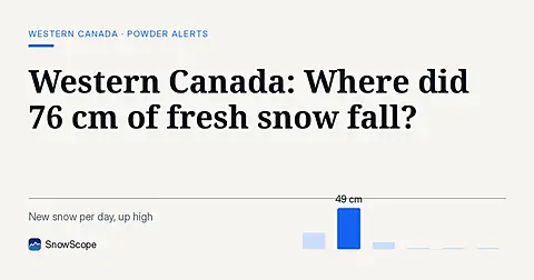
Whistler Blackcomb saw 76 cm of new snow in the last 72 hours, with Mount Cain Alpine Park also receiving 64 cm, as of November 16, 2026.
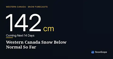
Western Canada mountains carry 42% of their normal snow for mid-November as of 12 November, but 142 cm is forecast over the next two weeks.
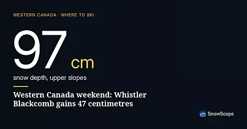
Whistler Blackcomb forecast to gain 47 centimetres by Saturday as snow arrives Thursday through the region, according to our model run on 4 November.