 SnowScope
Big Snow Forecast: 94 cm for Whistler Blackcomb by Sunday
Our SnowScope model, run on Thursday, November 5, 2026, forecasts significant snowfall across several regions in the next 72 hours. Western Canada is expected to see the most new snow, with up to 94 cm by Sunday.
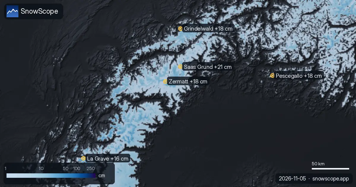
Western Canada: Heavy Snowfall Expected
The biggest snow totals in the next 72 hours are expected in Western Canada. Whistler Blackcomb is forecast to receive 94 cm of new snow by Sunday, November 8, 2026. Ski Callaghan is close behind with a prediction of 93 cm of new snow.
Tweedsmuir Ski Club is also set for substantial snowfall, with 70 cm expected by Sunday. For the next 24 hours, Tweedsmuir Ski Club leads with 37 cm, followed by Ski Callaghan with 32 cm and Whistler Blackcomb with 22 cm of new snow.
| # | Resort | Region | +24 h | +72 h | Snow line |
|---|---|---|---|---|---|
| 1 | Saas Grund | Alps · Switzerland | 14 cm | 21 cm | 2,300 m |
| 2 | Grindelwald | Alps · Switzerland | 14 cm | 18 cm | 2,000 m |
| 3 | Zermatt | Alps · Italy / Switzerland | 14 cm | 18 cm | 2,400 m |
| 4 | Pescegallo | Alps · Italy | 7 cm | 18 cm | 1,600 m |
| 5 | La Grave | Alps · France | 16 cm | 16 cm | 2,900 m |
| 6 | Arolla | Alps · Switzerland | 14 cm | 16 cm | 2,200 m |
| 7 | Engstligenalp | Alps · Switzerland | 14 cm | 16 cm | 2,000 m |
| 8 | Glacier 3000 | Alps · Switzerland | 13 cm | 16 cm | 2,200 m |
| # | Resort | Region | +24 h | +72 h | Snow line |
|---|---|---|---|---|---|
| 1 | Mt Baker | US West · United States | 4 in (11 cm) | 17 in (42 cm) | 9,200 ft (2,800 m) |
| 2 | Hurricane Ridge | US West · United States | 1 in (2 cm) | 5 in (13 cm) | 9,500 ft (2,900 m) |
| 3 | Mt. Hood Meadows | US West · United States | 0 in (0 cm) | 4 in (9 cm) | 11,500 ft (3,500 m) |
| 4 | Stevens Pass | US West · United States | 1 in (2 cm) | 3 in (7 cm) | 8,900 ft (2,700 m) |
| 5 | Crystal Mountain | US West · United States | 0 in (1 cm) | 3 in (7 cm) | 10,800 ft (3,300 m) |
| 6 | Tuckerman Ravine | US Northeast · United States | 0 in (0 cm) | 3 in (7 cm) | – |
| 7 | Sahalie Ski Club | US West · United States | 0 in (1 cm) | 2 in (6 cm) | 9,200 ft (2,800 m) |
| 8 | Saddleback Mountain | US Northeast · United States | 0 in (0 cm) | 2 in (5 cm) | 10,800 ft (3,300 m) |
| # | Resort | Region | +24 h | +72 h | Snow line |
|---|---|---|---|---|---|
| 1 | Whistler Blackcomb | Western Canada · Canada | 22 cm | 94 cm | 2,400 m |
| 2 | Ski Callaghan | Western Canada · Canada | 32 cm | 93 cm | 2,200 m |
| 3 | Tweedsmuir Ski Club | Western Canada · Canada | 37 cm | 70 cm | 1,200 m |
| 4 | Mount Cain Alpine Park | Western Canada · Canada | 8 cm | 54 cm | 2,300 m |
| 5 | Sasquatch | Western Canada · Canada | 1 cm | 20 cm | 2,600 m |
| 6 | Mount Washington Alpine Resort | Western Canada · Canada | 0 cm | 17 cm | 2,800 m |
| 7 | Manning Park Resort | Western Canada · Canada | 2 cm | 16 cm | 2,700 m |
| 8 | Purden Ski Village | Western Canada · Canada | 7 cm | 14 cm | 2,500 m |
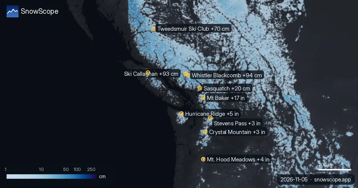
European Alps: Fresh Snow for Switzerland and France
In the European Alps, several Swiss resorts are forecast to receive fresh snow by Sunday, November 8, 2026. Saas Grund is expected to get 21 cm, while Grindelwald and Zermatt are both predicted to receive 18 cm of new snow.
La Grave in France is also looking at 16 cm of new snow by Sunday. The snow line in the Alps will generally be high, around 2000 to 2900 meters, meaning the best new snow will be on the upper slopes.
US West: Mt Baker Leads the Forecast
The US West will see new snow, with Mt Baker in Washington State forecast to receive the most. Our model predicts 42 cm of new snow for Mt Baker by Sunday, November 8, 2026. Hurricane Ridge is expected to get 13 cm.
Other resorts like Mt. Hood Meadows, Stevens Pass, and Crystal Mountain are also forecast to receive smaller amounts of new snow over the next 72 hours. The snow line in the US West will be quite high, between 2700 and 3500 meters.
Tips for skiers
- In Western Canada, focus on higher elevations at Whistler Blackcomb, Ski Callaghan, and Tweedsmuir Ski Club for the best new snow, especially over the weekend.
- For the Alps, target resorts like Saas Grund, Grindelwald, and Zermatt, but remember the snow line will be high, so the best conditions will be on upper slopes above 2300 meters.
- In the US West, Mt Baker offers the most promising snowfall. Be aware that the snow line is very high (above 2800 meters), so early season conditions may mean thin cover at lower elevations.
- Always check the official avalanche bulletin if you plan to go off-piste, especially with new snow falling on existing layers.
About these numbers
Resort snow depths are the deepest snow on the resort's upper slopes from the SnowScope snow model (about 1 km, run of 5 November); they are estimates for an area, not a measurement at one point. Station values are measurements on the date shown. Forecasts can change. Always read the official avalanche bulletin before going off-piste.
Official avalanche bulletins: EAWS (Europe) · avalanche.org (US) · Avalanche Canada

More snow reports
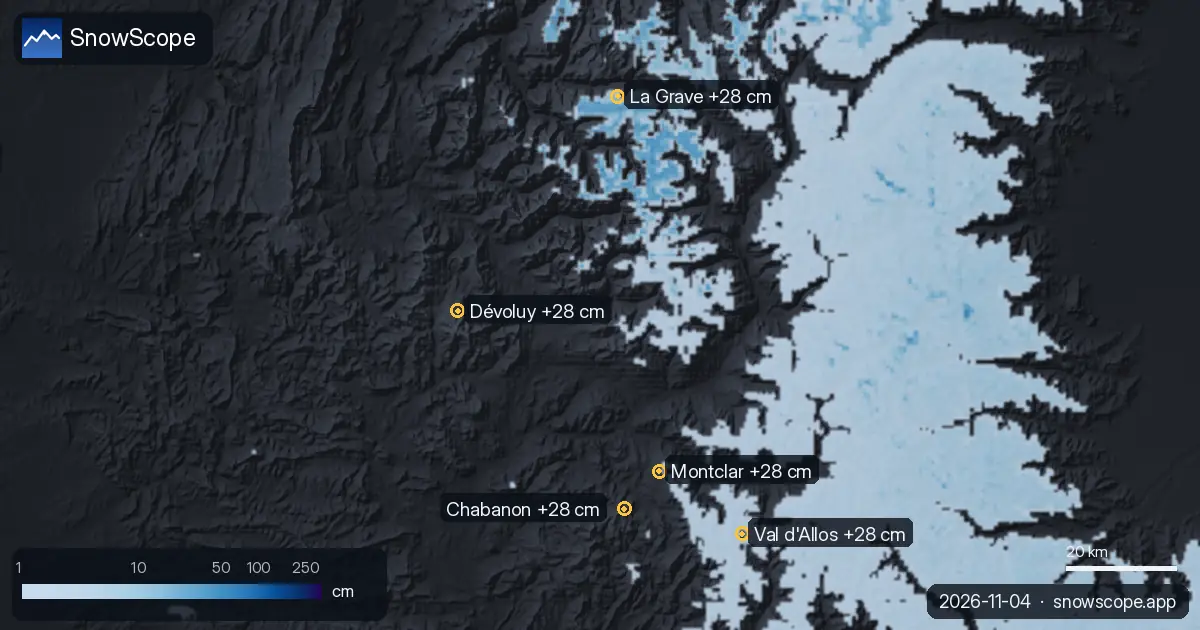
Our daily table of the resorts with the most new snow forecast for the next 24 hours and until 7 November, in Europe, Morocco and North America, with …
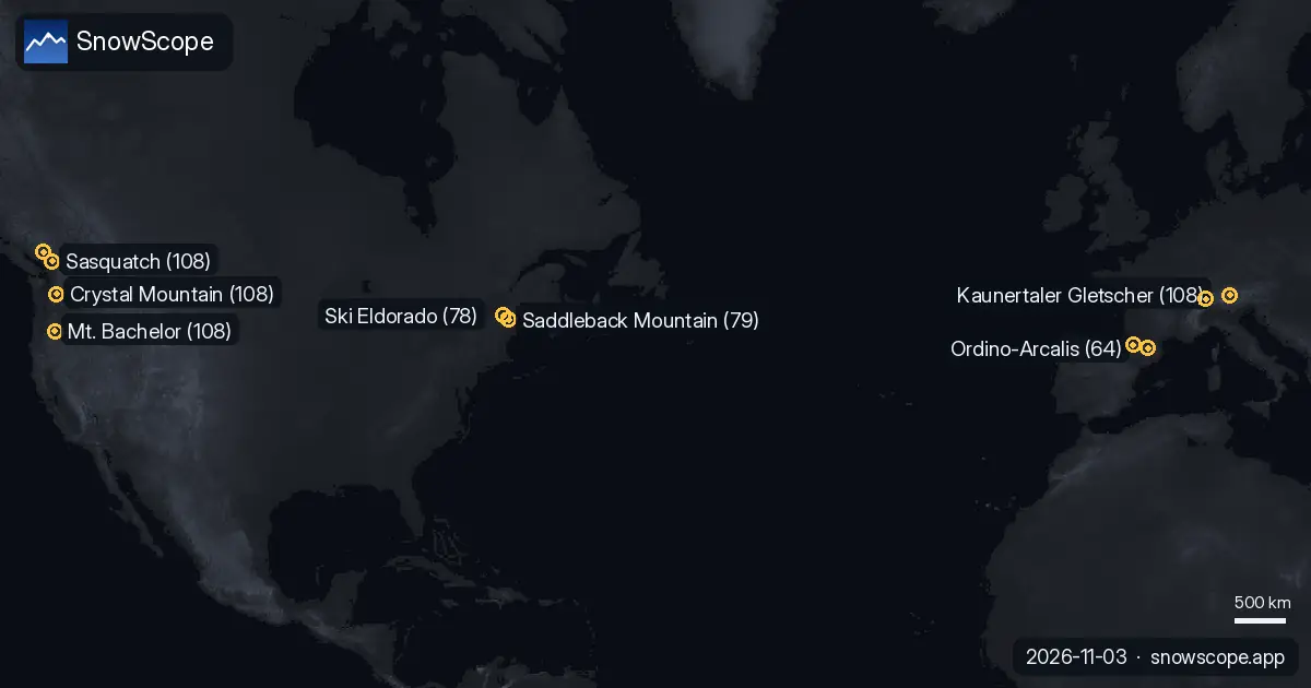
Which resorts almost always have snow? We looked at 46 past winters (1980-81–2025-26) for every resort on our map and counted the days from 15 …
Our daily table of the resorts with the most new snow forecast for the next 24 hours and until 6 November, in Europe, Morocco and North America, with …