 SnowScope
How to get to Snowbird: Little Cottonwood Canyon, the traction law and the ski bus
Snowbird sits at the top of a single road, Little Cottonwood Canyon (SR-210), which it shares with Alta. Getting there is easy on a clear day and slow on a storm day, so the tyres on your car and the time you leave matter more than the distance.
See the live snow forecast for Snowbird in the SnowScope appSnow depth, powder alerts and the 3D map, free.
The distance: close to the city
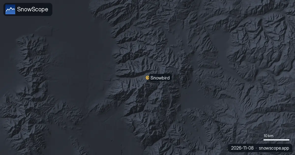
Snowbird is about 29 miles (47 km) from Salt Lake City International Airport, 24 miles (39 km) from downtown Salt Lake City and 4 miles (6 km) east of the suburb of Sandy, where the canyon begins. From the mouth of the canyon there is only one way up and the same way back: UDOT reminds drivers that the Cottonwood Canyon roads are dead ends in winter, so bring what you need for the day.
Before you drive up: the traction law
When the beacons outside the canyons are flashing, the traction law applies on SR-210 and SR-190, and UDOT can bring it in up to 24 hours before a storm. Tyres need at least 5/32 inch of tread. Four-wheel and all-wheel drive cars need M+S tyres on all wheels at minimum; two-wheel drive cars need snowflake-rated (3PMSF) tyres on all wheels, or chains or snow socks on two drive wheels.
Rental cars in Salt Lake City often have all-season tyres: ask for the tyre rating when you book, or take the bus.
Leave the car: the UTA ski bus
UTA route 994 and the Canyon Service lines run up Little Cottonwood Canyon to Snowbird and Alta. Most ski bus routes are planned from 6 December to 11 April, and UTA routes may start earlier if the resorts open before; check the Transit app or UTA before you go. On a busy powder morning the bus also saves you the search for a parking space.
On the day: road status
UDOT publishes a live status feed for SR-190 and SR-210 with closures and traction restrictions, plus road cameras. If no post appears, the roads are open without planned closures or restrictions. Check it before you leave the valley, and again before you drive down in the afternoon.
Why it is worth the drive
The canyon road leads to deep snow. Our snow history at mid-mountain, 9,357 ft (2,852 m), gives a usual season peak of about 96 in (244 cm) and snow on the ground on about 220 days in a typical winter, with the deepest snow usually in March. These are model values of past winters, not resort reports.
Tips for skiers
- Check the UDOT Cottonwood Canyons status feed before you drive up and before you drive down.
- No suitable tyres? Take UTA route 994 or the Canyon Service bus.
- Leave early on storm days: the single canyon road fills quickly.
- Going into the backcountry from the canyon: read the Utah Avalanche Center forecast first.
References and credits
- Utah Department of Transportation (UDOT), Cottonwood Canyons - Roads to Recreation (retrieved 8 November 2026). cottonwoodcanyons.udot.utah.gov/
- UDOT, Traction Law for Big and Little Cottonwood Canyons (retrieved 8 November 2026). cottonwoodcanyons.udot.utah.gov/traction-law/
- Utah Transit Authority (UTA), Ski Service (retrieved 8 November 2026). www.rideuta.com/Rider-Info/Ski-Service
- Wikipedia, 'Snowbird, Utah' (retrieved 8 November 2026). en.wikipedia.org/wiki/Snowbird,_Utah
About these numbers
Snow numbers: SnowScope snow history, 46 past winters (1980-81 to 2025-26) at three heights of the resort, a model of the past corrected for height (an estimate for an area, not resort reports). Lift, run and access facts: the sources listed below, checked on the date shown.
Official avalanche bulletins: Utah Avalanche Center
Cite this report
For research, teaching or the press: the numbers and charts are free to reuse under CC BY 4.0 with this citation.
SnowScope (2026), How to get to Snowbird: Little Cottonwood Canyon, the traction law and the ski bus, https://snowscope.app/blog/en/2026/11/how-to-get-to-snowbird-little-cottonwood-canyon.html, accessed 2026-11-09
SnowScope (Atlas Labs). (2026, November 9). How to get to Snowbird: Little Cottonwood Canyon, the traction law and the ski bus. SnowScope snow reports. https://snowscope.app/blog/en/2026/11/how-to-get-to-snowbird-little-cottonwood-canyon.html
BibTeX
@misc{snowscope2026howtogettosnowbirdlittle,
  author       = {{SnowScope (Atlas Labs)}},
  title        = {How to get to Snowbird: Little Cottonwood Canyon, the traction law and the ski bus},
  year         = {2026},
  month        = nov,
  howpublished = {\url{https://snowscope.app/blog/en/2026/11/how-to-get-to-snowbird-little-cottonwood-canyon.html}},
  note         = {Published 2026-11-09 18:47 UTC; accessed 2026-11-09}
}· CC BY 4.0 · Methods, data and tools →
Snowbird: snow and temperature by height, this winter vs last (tools) →
Follow Snowbird
Free: a message when fresh snow is coming, and the forecast every morning.

More snow reports
Mt Baker, Washington: about 133 in (337 cm) at the usual peak at mid-mountain in 46 past winters, a world snowfall record, no lodging on the hill, and what that means.
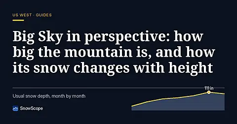
Big Sky, Montana, made easy to picture: 5,850 acres under Lone Peak, and snow that is about five times deeper near the top than at the base in 46 past winters.
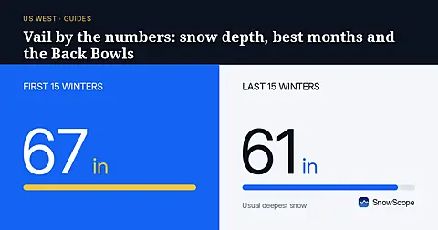
Vail in numbers: a usual peak of about 64 in (162 cm) at mid-mountain over 46 past winters, March the deepest month, plus terrain, access and safety.