SnowScope

Snow reports · The physics behind the weather

Daily snow reports for skiers: where the snow is, what is coming and where to ski, from the SnowScope snow map and measuring stations. Every number comes from that day's data.
Friday 20 November 2026
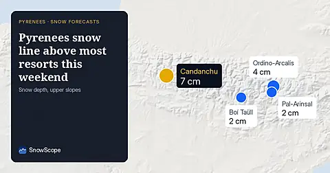
Pyrenees · 20 NovemberPyrenees snow line above most resorts this weekend

Rain will fall on existing snow at several Pyrenees resorts on Friday and Saturday as the 0 °C level stays between 1,600 and 3,500 m across the range.

Saturday 21 November 2026
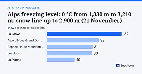
Alps · 21 NovemberAlps freezing level: 0 °C from 1,330 m to 3,210 m, snow line up to 2,900 m (21 November)

The 0 °C level in the Alps, next days: 1,330 m to 3,210 m. Warmest hours: snow line about 300 m lower, up to 2,900 m at La Grave on Sunday 22 …

Wednesday 18 November 2026
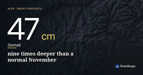
Alps · 18 NovemberZermatt 47 cm: nine times deeper than a normal November

Zermatt has 47 cm on upper slopes today, 690% above the November median. The 0°C level stays above 2200 m through Friday.
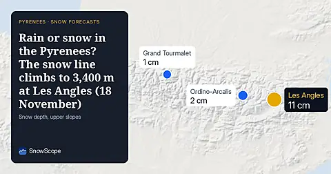
Pyrenees · 18 NovemberRain or snow in the Pyrenees? The snow line climbs to 3,400 m at Les Angles (18 November)

Over the next days the 0 °C level in the Pyrenees should move between 1,900 m and 3,670 m, according to our forecast. At the warmest time of day the …
Sunday 15 November 2026
Alps · 15 NovemberThe physics behind the weather: an atmospheric river at Andermatt

At Andermatt (2963 m) the forecast gives 75 mm of precipitation from 15 November to 20 November. During the wet hours the 0 °C level stands near 2160

Friday 13 November 2026
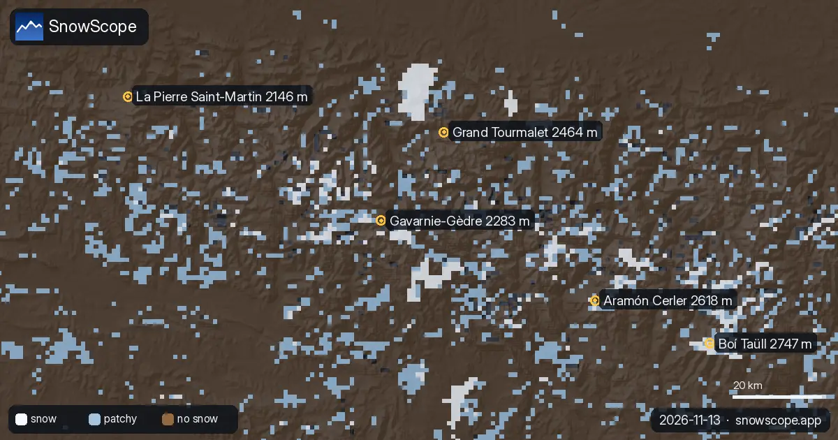
Pyrenees · 13 NovemberPyrenees freezing level: 0 °C from 2,230 m to 2,820 m, snow line up to 2,500 m (13 November)

The 0 °C level decides whether the mountains store snow or shed rain: over the next days our forecast puts it between 2,230 m and 2,820 m in the …

Thursday 12 November 2026
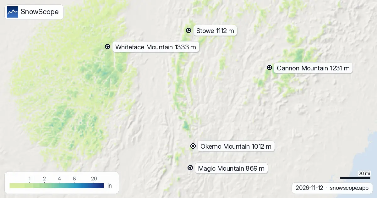
US Northeast · 12 NovemberSnow line forecast in the US Northeast: where it rains and where it snows, up to 3,609 ft (12 November)

Our forecast has the 0 °C level in the US Northeast between 0 ft (0 m) and 4,593 ft (1,400 m) in the coming days. On Thursday 12 November, in the …
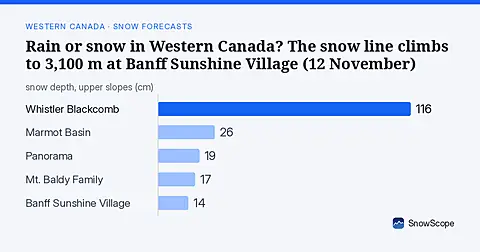
Western Canada · 12 NovemberRain or snow in Western Canada? The snow line climbs to 3,100 m at Banff Sunshine Village (12 November)

Between 1,380 m and 3,410 m: that is where our forecast puts the 0 °C level in Western Canada over the next days. In the warmest hours the snow line, …
Wednesday 11 November 2026
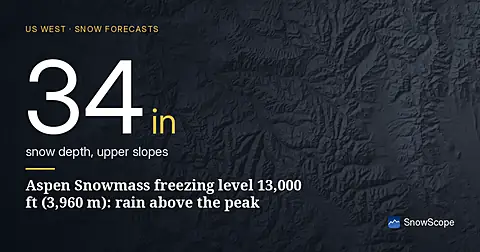
US West · 11 NovemberAspen Snowmass freezing level 13,000 ft (3,960 m): rain above the peak

Freezing level climbs to 13,000 ft (3,960 m) at Aspen Snowmass, creating rain-on-snow risk as temperatures warm mid-November (forecast from 11 Nov data).

Tuesday 10 November 2026
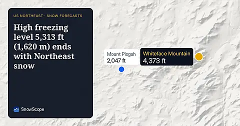
US Northeast · 10 NovemberHigh freezing level 5,313 ft (1,620 m) ends with Northeast snow

On November 10, the freezing level reaches 5,313 ft (1,620 m) above Northeast summits, bringing rain before 20–25 cm of snow arrives.
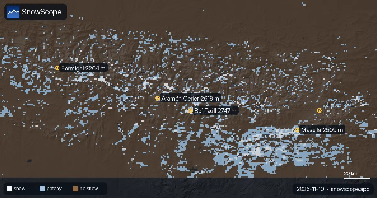
Pyrenees · 10 NovemberPyrenees freezing level: 0 °C from 2,420 m to 3,710 m, snow line up to 3,400 m (10 November)

The 0 °C level in the Pyrenees, next days: 2,420 m to 3,710 m. The snow line, about 300 m lower, peaks at 3,400 m at Masella on Tuesday 10 November. …
Sunday 8 November 2026
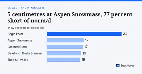
US West · 8 November5 centimetres at Aspen Snowmass, 77 percent short of normal

Aspen Snowmass at 5 centimetres, 23 percent of normal for mid-November. Freezing levels above 2,600 metres brought rain instead of snow across the US West on November 8.
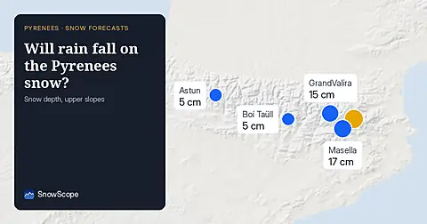
Pyrenees · 8 NovemberWill rain fall on the Pyrenees snow? Freezing level 3400m

Freezing level reaches 3400m–3600m over the next three days, bringing rain to the snowpack from 09–11 November. Forecast from 08 November.
Saturday 7 November 2026
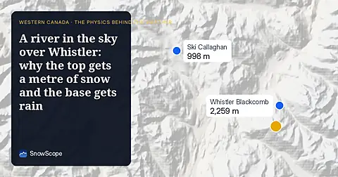
Western Canada · 7 NovemberA river in the sky over Whistler: why the top gets a metre of snow and the base gets rain

About 192 mm of water on Whistler's upper slopes from 7 to 12 November: the 0 °C level swings between 1,410 and 2,920 m, snow up high, rain below.

Sunday 8 November 2026
Western Canada · 8 NovemberWhistler storm: about 92 cm up high, rain on the North Shore – the next days in motion

A wet Pacific storm: 92 cm of new snow on Whistler's upper slopes from 8 to 10 November, rain below about 1,620 m.

Alps · 8 NovemberAlps: where it will snow and where it will rain, 8 to 10 November

Mild air with the next rain and snow: the snow line sits mostly between 2,190 and 2,850 m. Map, chart and animation.
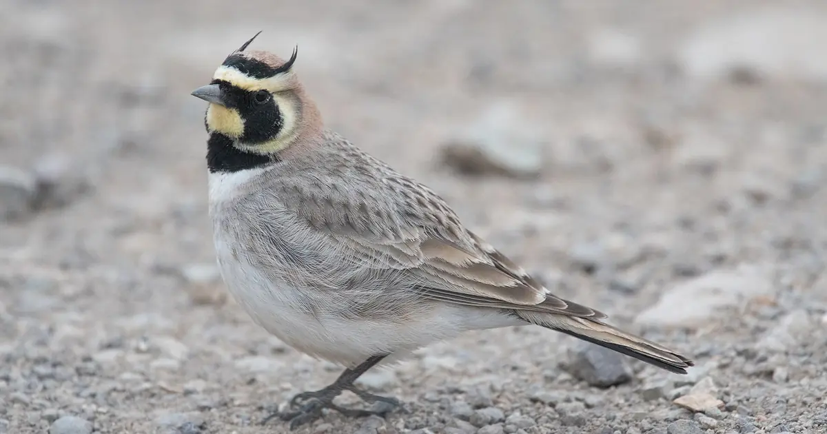
Atlas (Morocco) · 8 NovemberHigh Atlas: rain up to about 3,710 m – only the highest summits turn white

Snow line near 3,710 m from 8 to 12 November: rain at Oukaïmeden and Imlil, snow on Toubkal's summit. Map and chart.

Saturday 7 November 2026
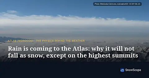
Atlas (Morocco) · 7 NovemberRain is coming to the Atlas: why it will not fall as snow, except on the highest summits

About 65 mm on Toubkal by 12 November, but the 0 °C level stays near 4,000 m: rain at Oukaïmeden and in the valleys, snow only on the top.

SnowScope on your phoneSnow depth for every resort, powder alerts and the 3D map, free.
Download the app